
Web Map Service (WMS) Implementation Guide for 2026
Quick Summary: A Web Map Service (WMS) is an OGC standard that lets client applications request georeferenced map
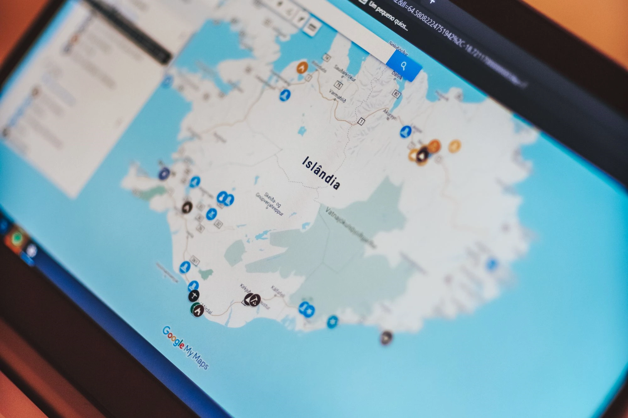
21 Best Web Map Companies (2026)
Web map service providers play an important role in today’s digital landscape by delivering interactive maps, geographic data

Best 14 AI Consulting Companies in Rome (2026)
Artificial intelligence is no longer something businesses plan for “one day.” Across Rome, companies from different industries are

14 Best AI Consulting Companies in the United Arab Emirates (2026)
The United Arab Emirates continues to stand out as a major hub for artificial intelligence adoption, driven by

15 Best AI Consulting Companies in the Netherlands (2026)
The Netherlands has become a dynamic hub for artificial intelligence, drawing organizations that need sharp, results-focused guidance to

12 Best AI Consulting Companies in Paris, France (2026)
Paris has quietly turned into one of the more interesting AI hubs in Europe. Between the research institutes,

16 Best AI Consulting Companies in Texas (2026)
Texas has rapidly become a major epicenter for AI innovation, home to top-tier consulting firms that empower businesses

14 Best AI Consulting Companies in Switzerland (2026)
Switzerland stands out as a hub for innovation where AI consulting companies are transforming industries with smart, scalable

10 Best AI Consulting Companies in New Zealand (2026)
AI consulting in New Zealand has grown past the “should we try this” stage. Most businesses have already