

AgriTechTomorrow Tool Review 2026: Complete Analysis
Quick Summary: AgriTechTomorrow is a leading agricultural technology news platform and resource hub covering precision farming, robotics, AI,

ArcGIS Urban Review: 2026 Features, Pricing & Analysis
Quick Summary: ArcGIS Urban is a collaborative 3D urban planning platform that enables planners to visualize development scenarios,
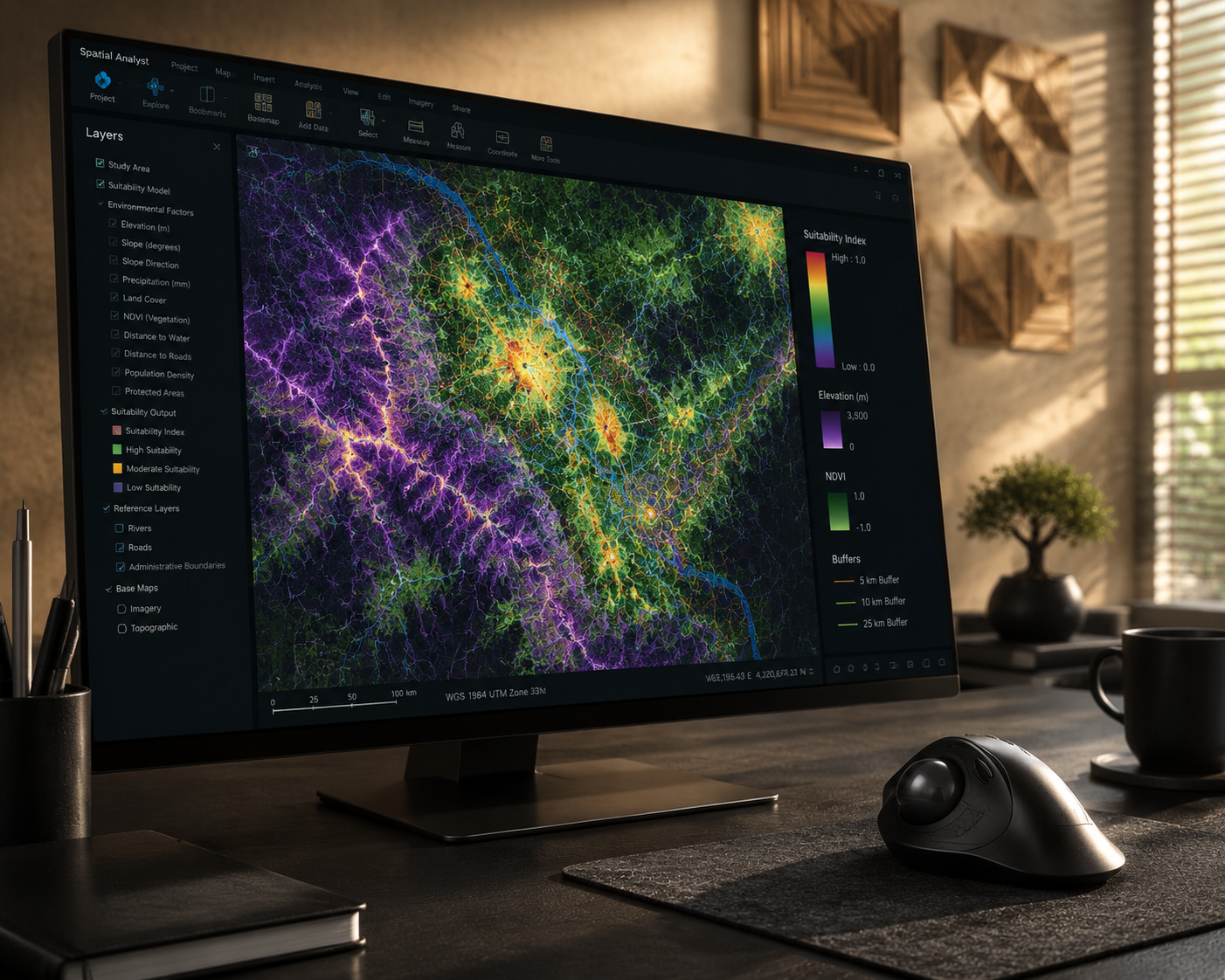
ArcGIS Spatial Analyst Tool Review 2026
Quick Summary: ArcGIS Spatial Analyst is a powerful extension for ArcGIS Pro and ArcGIS Enterprise that provides advanced

ArcGIS Tool Review 2026: Features, Pricing & Analysis
Quick Summary: ArcGIS is a comprehensive geospatial platform from Esri offering powerful desktop, web, and server tools for

ArcGIS Pro Tool Review 2026: Features & Performance
Quick Summary: ArcGIS Pro is Esri’s flagship desktop GIS application offering robust spatial analysis, 2D/3D mapping, and data

ArcGIS Online Tool Review 2026: Features & Pricing
Quick Summary: ArcGIS Online is a cloud-based web GIS platform that allows users to create, share, and manage
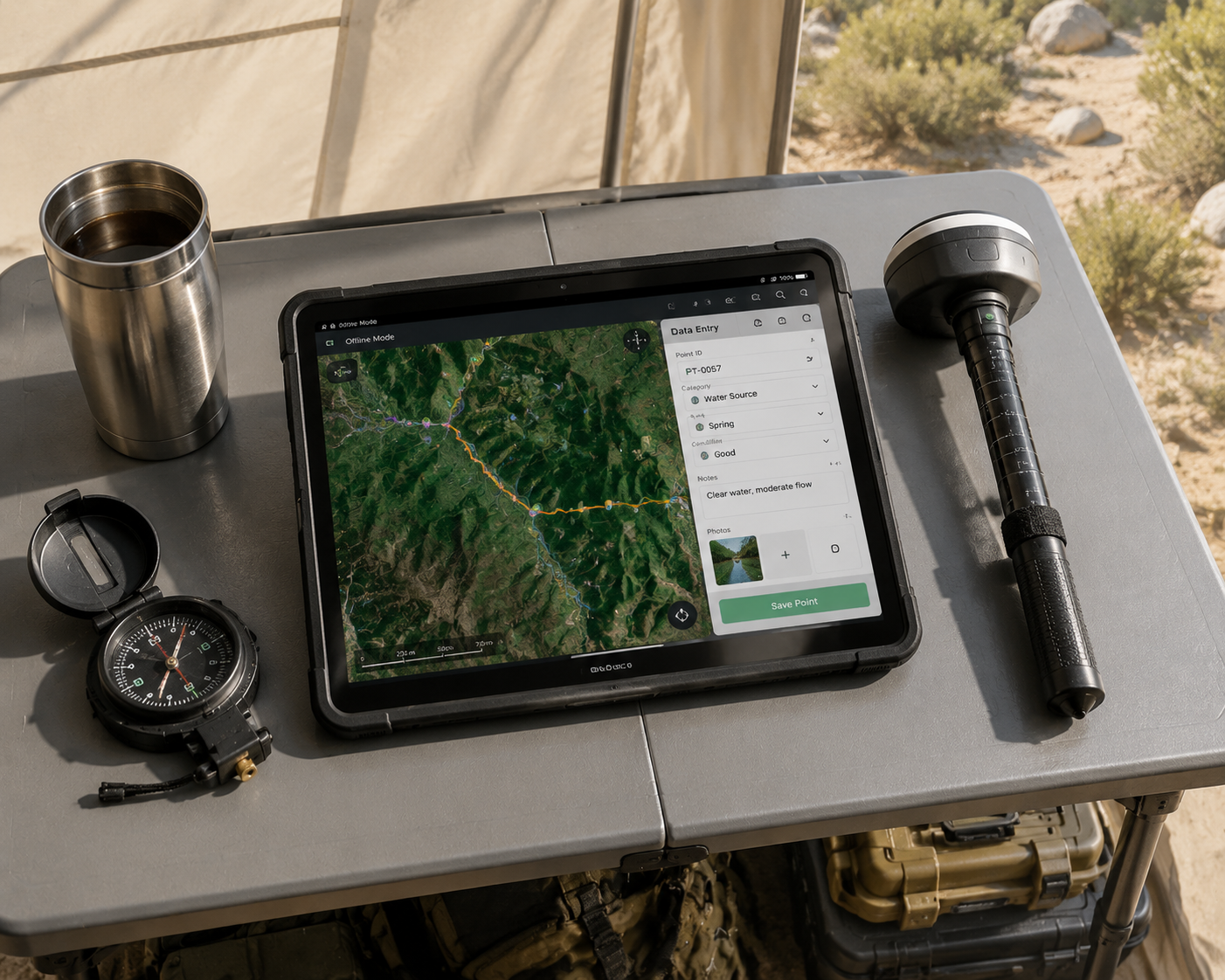
ArcGIS Field Maps Review 2026: Features & Pricing
Quick Summary: ArcGIS Field Maps is Esri’s comprehensive mobile data collection app that enables field teams to capture,

ArcGIS Drone2Map Review 2026: Features & Performance
Quick Summary: ArcGIS Drone2Map is Esri’s desktop photogrammetry application that processes drone imagery into 2D and 3D GIS-ready

ArcGIS CityEngine Review 2026: Features & Capabilities
Quick Summary: ArcGIS CityEngine is procedural 3D city modeling software from Esri designed for urban designers, planners, architects,