
أفضل شركات الطائرات بدون طيار التي تشكل مستقبل تكنولوجيا الطائرات بدون طيار
أصبحت الطائرات بدون طيار أدوات لا غنى عنها في العديد من الصناعات، بدءًا من التصوير الفوتوغرافي وصناعة الأفلام وحتى الزراعة والتفتيش الصناعي.

أفضل شركات تكنولوجيا الطائرات بدون طيار التي تقود مستقبل الابتكار
لقد تطورت تكنولوجيا الطائرات بدون طيار بسرعة، مما أثر على قطاعات مختلفة من الزراعة إلى السلامة العامة. الشركات المتخصصة في تكنولوجيا الطائرات بدون طيار

أفضل شركات الطائرات بدون طيار في أستراليا
تشهد صناعة الطائرات بدون طيار في أستراليا نموًا سريعًا، حيث تقدم الشركات حلولاً مبتكرة في مختلف القطاعات. بدءًا من التصوير الجوي و

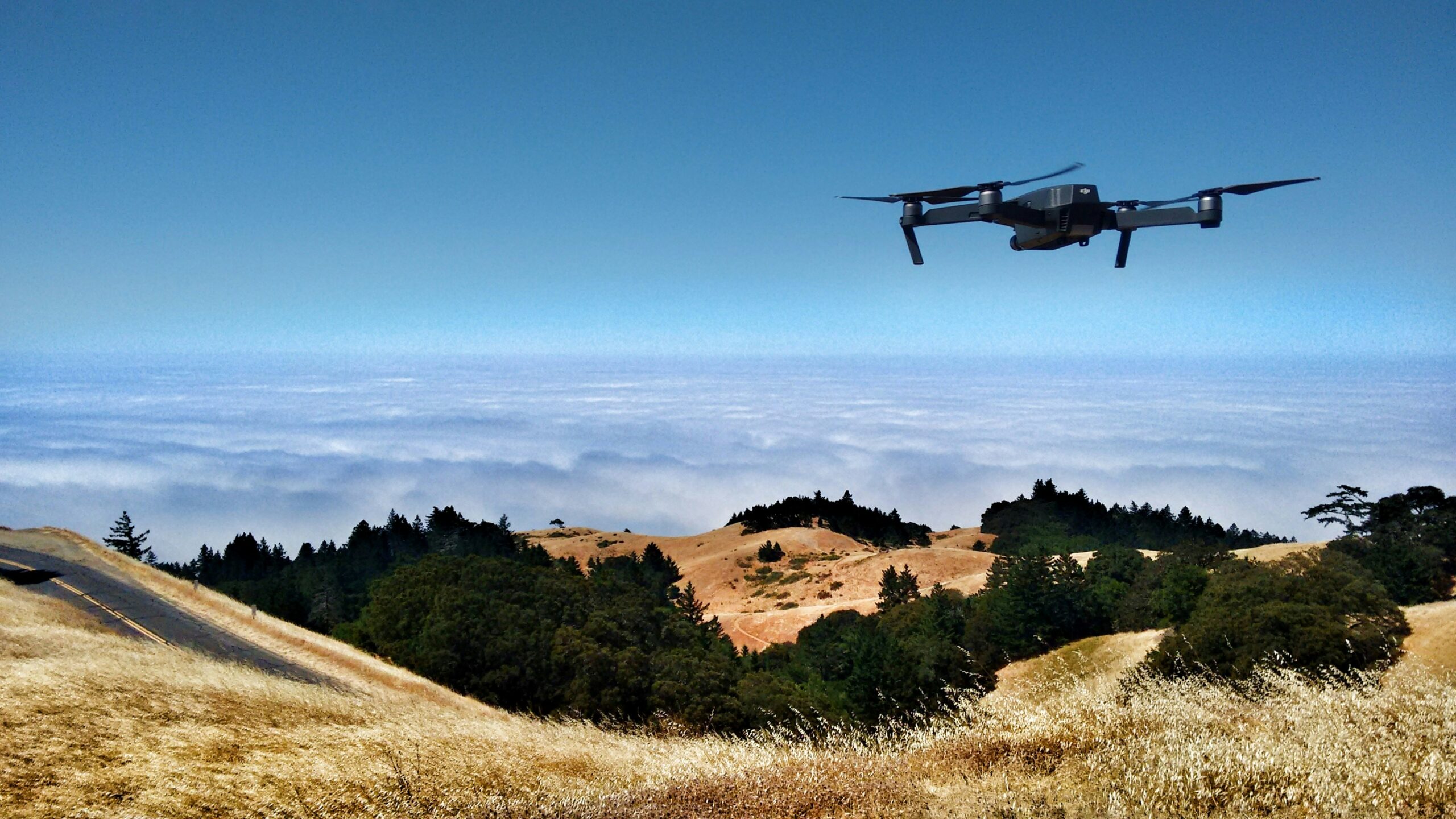
شركات الطائرات بدون طيار الرائدة في سان فرانسيسكو
تعد سان فرانسيسكو موطنًا لبعض شركات الطائرات بدون طيار الأكثر ابتكارًا في العالم، مما يدفع التقدم في
شركات سيارات الأجرة بدون طيار تحدث ثورة في النقل الحضري
أصبح مفهوم سيارات الأجرة بدون طيار حقيقة واقعة بسرعة حيث تعمل الشركات المبتكرة على تطوير المركبات الجوية المصممة

شركات التصوير بالطائرات بدون طيار تعمل على تحويل التصوير الجوي
لقد أحدث التصوير بالطائرات بدون طيار ثورة في الطريقة التي نلتقط بها البيانات الجوية ونحللها ونستخدمها في مختلف الصناعات مثل الزراعة،
شركات رش المبيدات الزراعية باستخدام الطائرات بدون طيار تعمل على تعزيز كفاءة المزارع
تعمل تكنولوجيا الطائرات بدون طيار على تحويل الزراعة الحديثة، حيث تظهر خدمات الرش باستخدام الطائرات بدون طيار باعتبارها ابتكارًا رئيسيًا في الزراعة الدقيقة.

أفضل شركات الطائرات بدون طيار في المملكة المتحدة التي تقود الثورة الجوية
تعد المملكة المتحدة موطنًا لعدد متزايد من شركات الطائرات بدون طيار المبتكرة في طليعة الصناعة الجوية

أفضل شركات عروض الإضاءة باستخدام الطائرات بدون طيار التي تقدم عروضًا جوية مذهلة
تعمل العروض الضوئية باستخدام الطائرات بدون طيار على إحداث ثورة في طريقة تجربتنا للترفيه، حيث تعمل على استبدال الألعاب النارية التقليدية بعروض جوية آسرة وصديقة للبيئة.