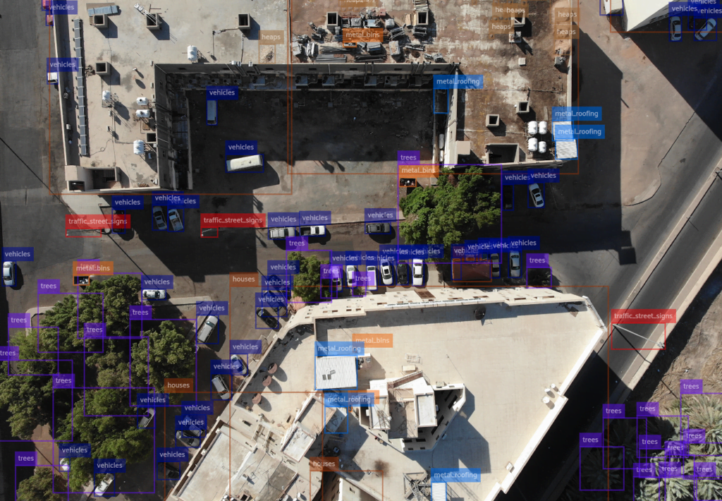
تمكين اكتشاف الكائنات وتقسيمها وتوطينها لاكتشاف الأشجار وما بعدها
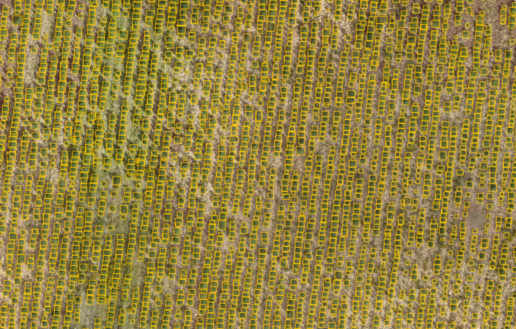
Introduction Amid growing environmental concerns and the need for efficient urban planning, tree detection from aerial imagery has
Introduction Amid growing environmental concerns and the need for efficient urban planning, tree detection from aerial imagery has
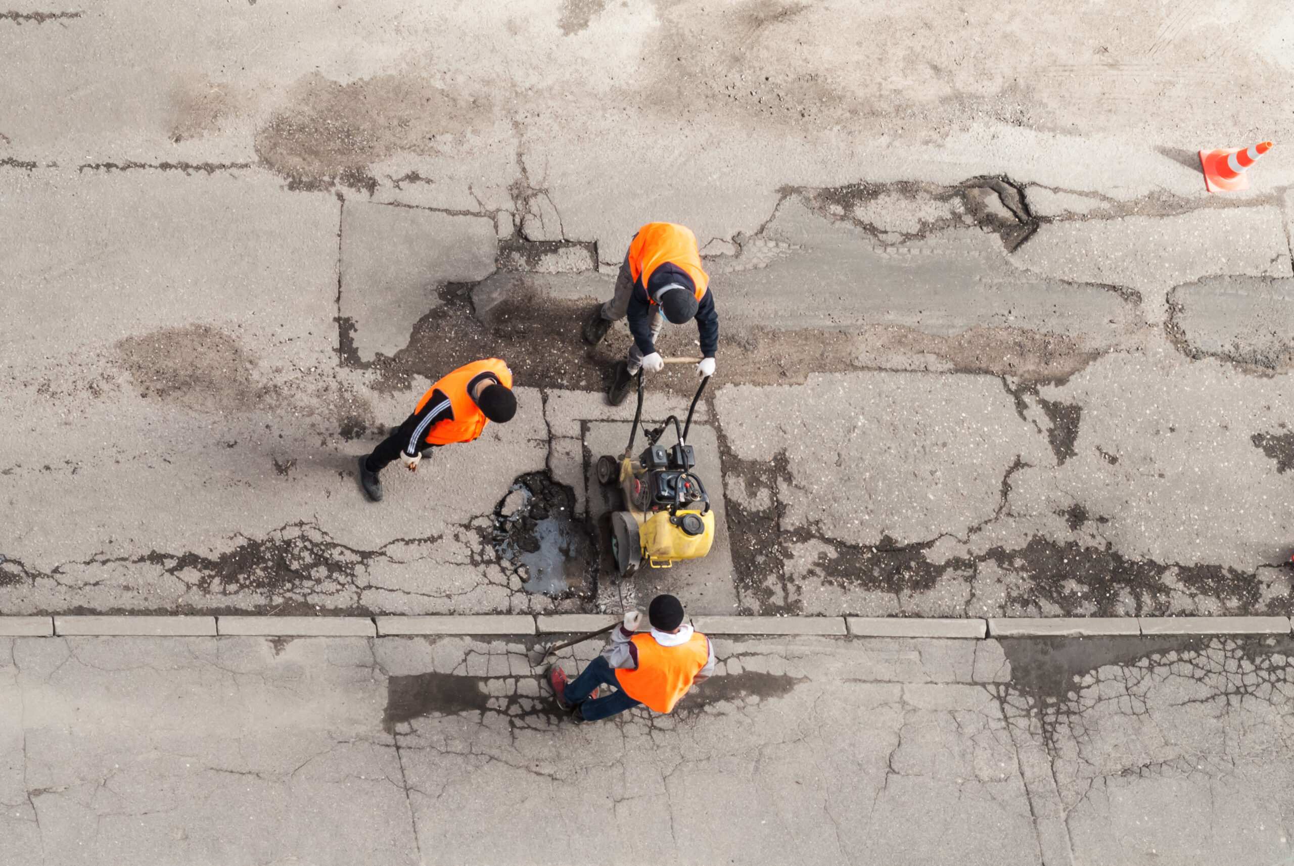
Introduction: Maintaining the infrastructure of a city is an ongoing challenge for municipal authorities around the world. One
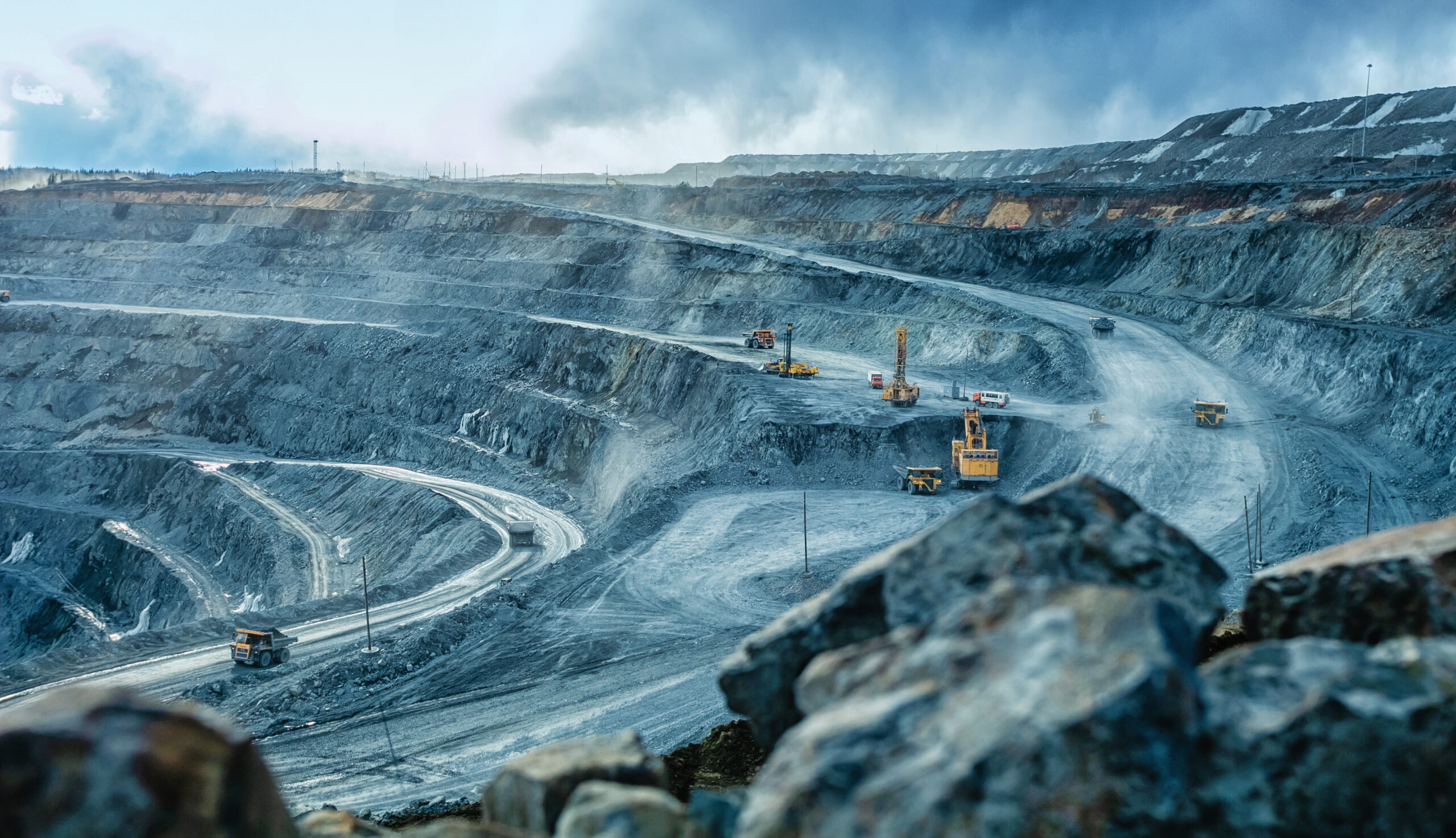
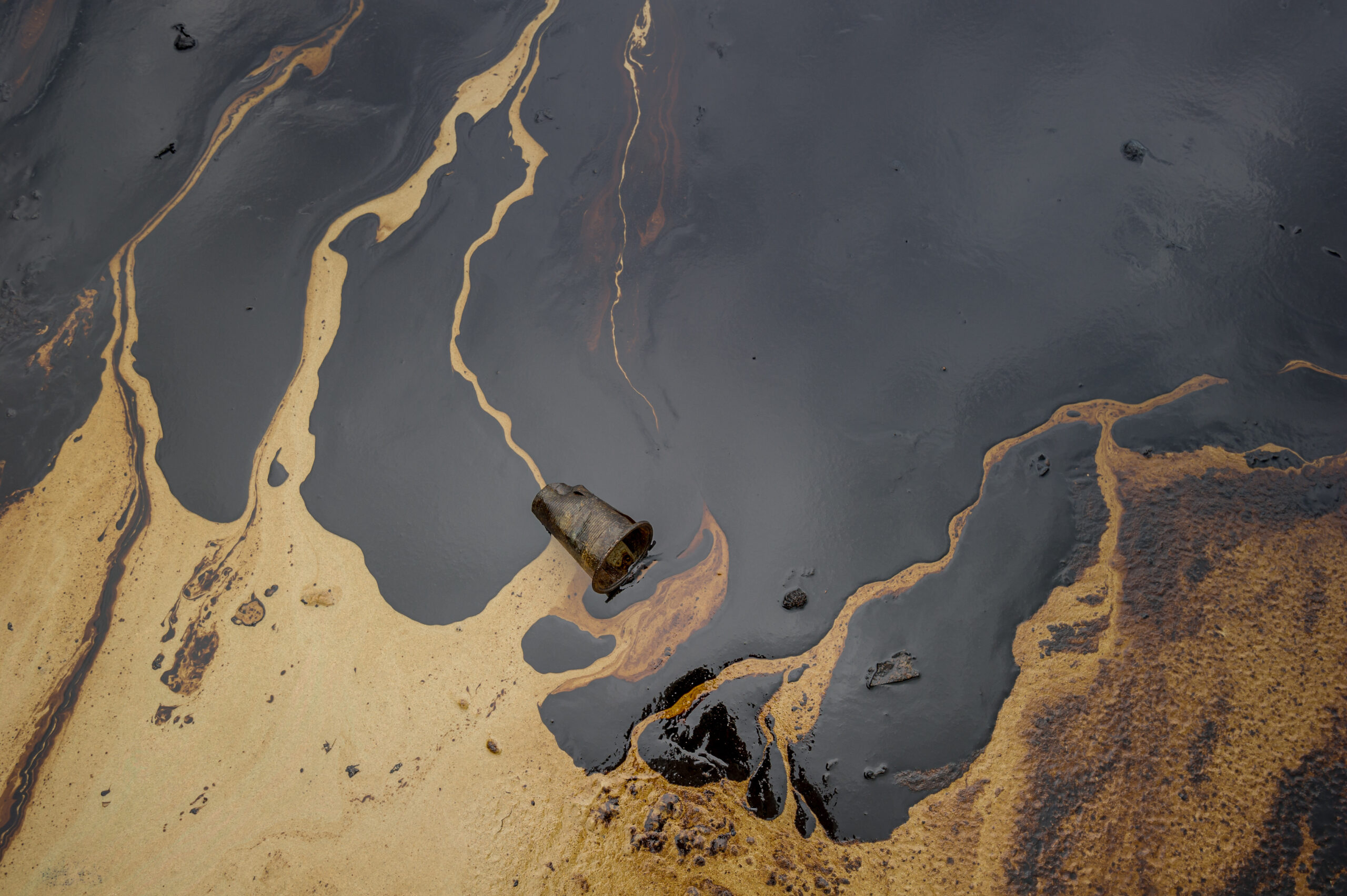
In today’s digital era, the mining industry is leveraging advanced technologies to optimize operations, minimize environmental impact, and
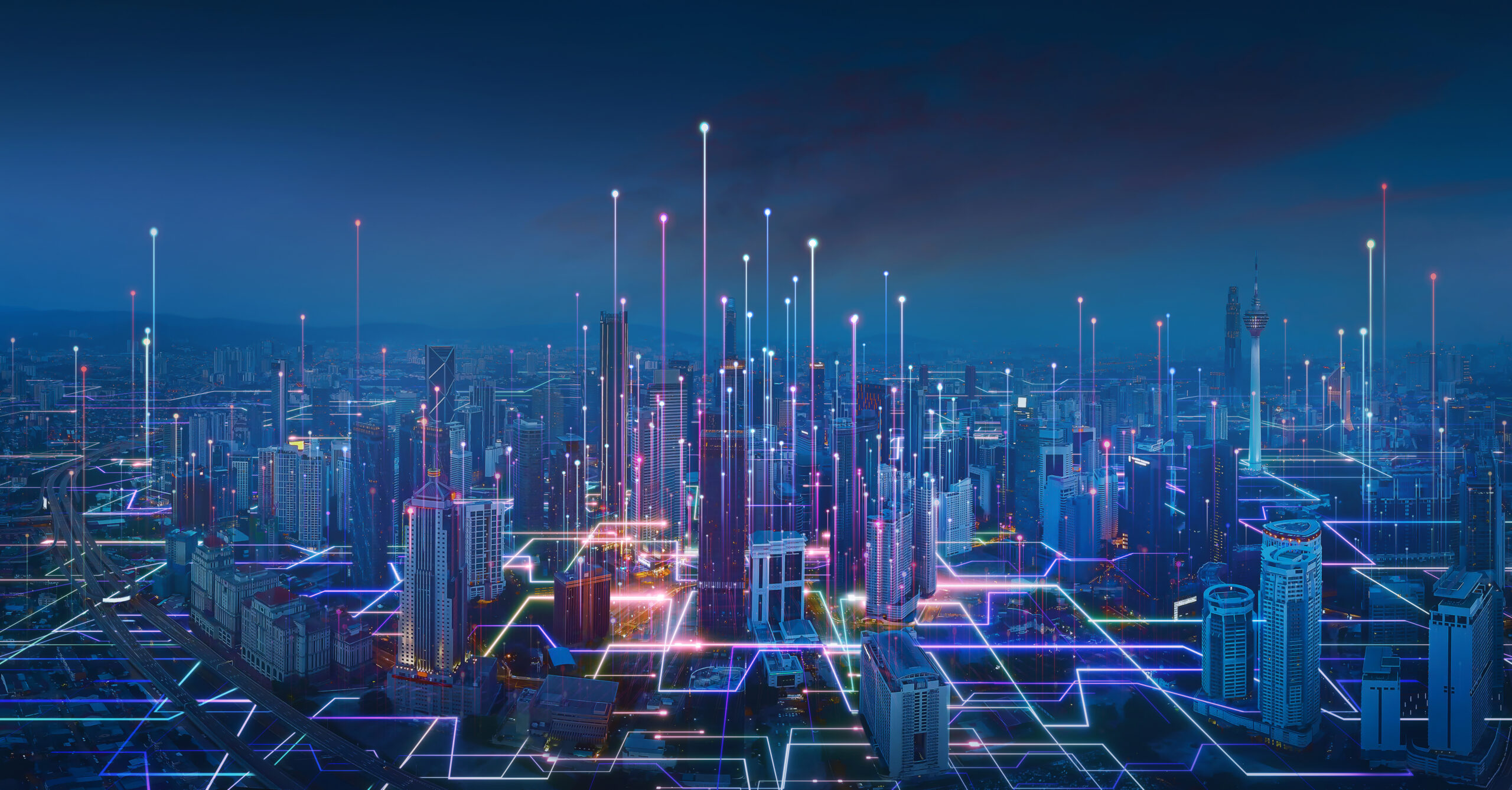
Urbanization continues to expand at an unprecedented rate. In response, city planners, administrators, and technologists worldwide are collaborating

Remote sensing is the science of gathering information about an object or phenomenon without making physical contact with

Remote sensing sensors are instruments that are used to collect data about the Earth’s surface and atmosphere remotely.
Aerial imagery has become an increasingly valuable tool for a variety of industries, from agriculture to infrastructure. However,
Natural disasters like hurricanes, wildfires, and earthquakes can strike at any time, causing widespread damage and disruption to

The use of AI-powered object detection for aerial imagery is transforming the way we plan, design, and manage