LiDAR Companies and the Technology Behind Modern Mapping

LiDAR has quietly moved from niche research labs into everyday tools that shape how we map, build, and move through the world. From detailed 3D maps to autonomous systems and infrastructure planning, this technology shows up in more places than most people realize. What makes it interesting is not just the hardware itself, but how […]
iPhone LiDAR Scanner: A Top Contender in Mobile 3D Scanning

In our list of the best 3D scanners for iPhone, Apple’s built-in LiDAR sensor—available on Pro models from iPhone 12 Pro onward—stands out as a powerful, no-extra-hardware solution. It works by emitting invisible infrared laser pulses that bounce off objects and return to the sensor, allowing the iPhone to calculate distances with millimeter accuracy and […]
How Many Starlink Satellites Are There Right Now?
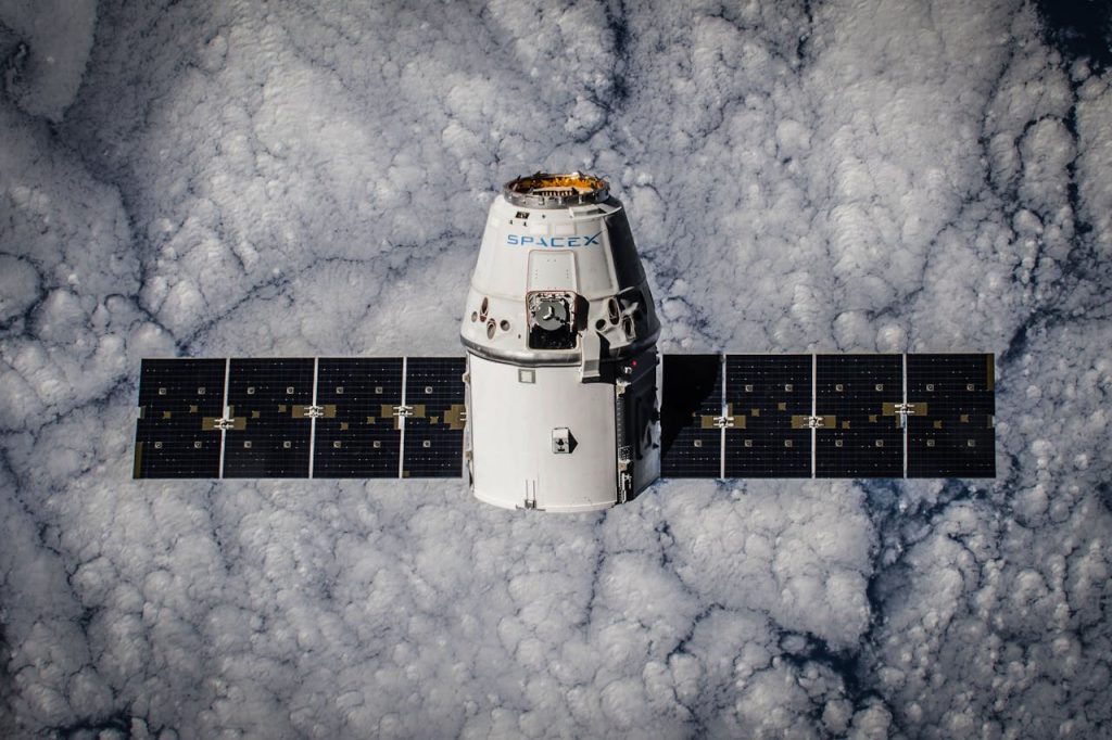
Starlink isn’t just some abstract tech project anymore – it’s a real, growing network of satellites that you can see in the night sky and use to stream a Zoom call from the middle of nowhere. But just how many of these satellites are actually up there? The answer keeps changing, and fast. SpaceX has […]
How Fast Is Starlink Internet, Really?

If you’ve been thinking about switching to Starlink or you’re just curious how well it holds up in the real world, you’re not alone. The idea of satellite internet that can actually stream, game, and work without making you want to throw your laptop sounds… well, kind of magical. But the question still stands: how […]
How Much Does Starlink Really Cost?
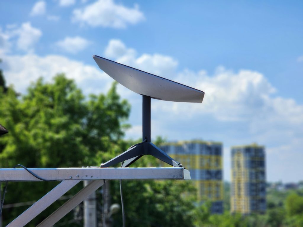
Starlink isn’t your average internet provider, and its pricing model reflects that. Unlike traditional cable or DSL services, Starlink delivers internet from low-orbit satellites. That makes it a game-changer for remote areas, but also raises questions about cost. Is it expensive? What are you actually paying for each month? And how much is that dish? […]
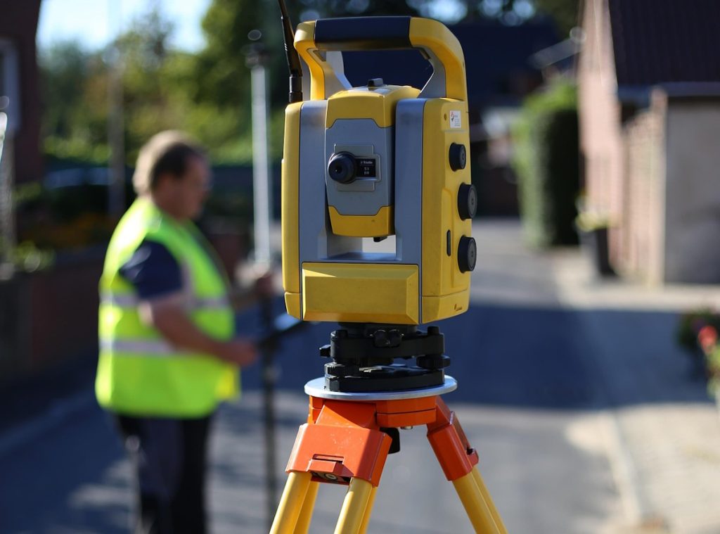
Handheld LiDAR Scanners and How People Actually Use Them
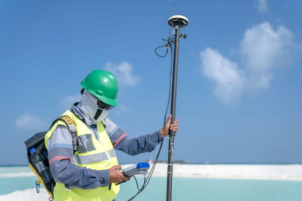
LiDAR isn’t just for satellites and self-driving cars anymore. These days, you can carry one in your hand and scan everything from forests to buildings with surprising accuracy. Handheld LiDAR scanners have quietly become one of the most practical tools for anyone who works with physical spaces – construction teams, archaeologists, city planners, you name […]
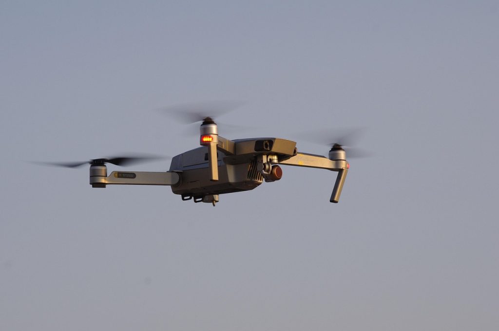
What Is LiDAR Used For? Real-World Examples That Might Surprise You
LiDAR isn’t just another fancy tech acronym tossed around in engineering circles. It’s actually one of those behind-the-scenes tools quietly shaping how we understand, monitor, and plan the physical world. Short for Light Detection and Ranging, LiDAR sends out rapid laser pulses to measure distances with serious precision. But what’s it really used for? Turns […]
LiDAR Definition: Understanding the Laser-Based Tech Behind Modern Mapping
LiDAR might sound like something high-tech or complicated, but the idea behind it is actually pretty simple. It’s a way to measure distance using laser light – kind of like how bats use sound to understand their surroundings, but with light instead. Today, LiDAR helps with everything from making maps to helping self-driving cars see […]
LiDAR Mapping: What It Is and Why It Matters

LiDAR mapping has quietly become one of the most important tools in modern geospatial work. It shows up in everything from flood modeling and city planning to forestry, infrastructure, and simulation. Yet for many people, it still feels abstract or overly technical. At its core, LiDAR mapping is about measuring the world in three dimensions […]
Sustainable Development Reporting Tools That Make ESG Reporting Practical

Sustainability reporting used to feel like a once-a-year scramble. Spreadsheets everywhere, data pulled from half a dozen teams, and a lot of guesswork around what actually mattered. That approach doesn’t really hold up anymore. Regulations are tightening, stakeholders expect clarity, and sustainability goals are now tied to real business decisions, not just polished PDFs. That’s […]