Geospatial Data Platforms: Revolutionizing Telecommunications
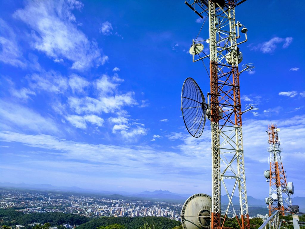
Let’s dive into how geospatial data platforms are shaking things up for telecom companies. These platforms deliver powerful tools-think interactive maps, satellite imagery, and drone-sourced data-to pinpoint the best locations for cell towers or fiber optic cables. It’s not just about mapping terrain; it’s about analyzing patterns, like population density or tricky landscapes that mess […]
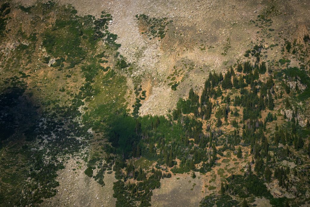
A Beginner’s Guide to Geospatial Data Types

Maps have always been my go-to for understanding the world. Whether I’m planning a road trip or checking satellite images to see how my hometown has changed, there’s something fascinating about how data brings places to life. Geospatial data is the backbone of these maps, tying specific information to locations on Earth. From pinpointing a […]
The Best Geospatial Data Apps Changing How We See the World
Geospatial data has moved far beyond the days when maps were printed on paper and tucked into glove compartments. Today, it drives decision-making across industries – from agriculture to urban planning to environmental conservation. By combining satellite imagery, GPS data, AI models, and powerful analysis tools, geospatial applications can help us detect patterns, predict outcomes, […]
The Geospatial Data Analytics Companies Everyone’s Talking About
If you’ve been paying attention, you’ve probably noticed that geospatial data is no longer just for cartographers and city planners. Thanks to leaps in AI, machine learning, and satellite imaging, industries from farming to disaster relief are using it to make smarter, faster decisions. What’s wild is how accessible this stuff has become. We’re talking […]
Top Geospatial Data Mining Companies Revolutionizing Industries
Geospatial data mining companies are reshaping how industries analyze and use location-based data. By harnessing the power of satellite imagery, AI, and machine learning, these companies provide valuable insights that help businesses and governments make informed decisions. Whether it’s tracking environmental changes, optimizing agriculture, or improving urban planning, the ability to mine and analyze geospatial […]
Leading Geospatial Data Collection Companies You Should Know

Geospatial data is everywhere now – from the maps you check before a road trip to the environmental reports guiding city planning. Behind the scenes, there’s a whole network of companies collecting that information using satellites, drones, and smart algorithms. Their job is to turn raw geographic details into something useful for businesses, governments, and […]
Reliable Geospatial Data Providers for Accurate Location Insights

When you need to understand what’s happening on the ground, geospatial data is often the answer. Whether it’s a satellite image, drone capture, or detailed mapping data, the quality and freshness of that information can make all the difference. Picking the right geospatial data provider isn’t just about coverage or resolution. It’s about how the […]
Geospatial Data Software – Smart Mapping Tools

Working with location data is a lot easier when you have the right tools for the job. Good software can take raw coordinates, imagery, or survey results and turn them into something you can actually understand and use. It might be a clear map, a report showing changes over time, or an analysis that points […]
Top Geospatial Data Services Companies to Know

When you’re working with maps, satellite imagery, or anything tied to location, it’s not enough to just have the data. You need a way to turn that information into something usable. That’s where geospatial data services companies come in. They help organize, process, and analyze location-based data so teams can use it to make real-world […]
Best Geospatial Data Visualization Tools for Real Insights
Let’s be honest, raw location data doesn’t really tell you much at first glance. It’s messy, hard to interpret, and not exactly something you want to slap on a presentation slide. That’s where geospatial data visualization tools step in. They take all that technical noise and turn it into something visual, clean, and actually useful. […]