DJI FlightHub Alternatives

If you’re managing a drone fleet, having the right platform to track, plan, and analyze your operations is a must. DJI FlightHub is a popular choice, but it’s not the only option out there. Whether you’re looking for more customizable features, compatibility with non-DJI drones, or simply want to try something new, there are great […]
Maps Made Easy Alternatives: A Complete Guide to Choosing the Best Solution

Maps Made Easy is a widely recognized tool for creating interactive maps and geospatial applications, trusted by businesses and developers alike for its simplicity and versatile capabilities. However, as the demand for advanced mapping solutions grows, many users seek alternatives that provide unique features, improved performance, or specific integrations tailored to their needs. In this […]
GeoIQ Alternatives: A Complete Guide to Choosing the Best Solution

GeoIQ has become a widely recognized tool in the field of data intelligence, providing businesses with powerful geographic insights and analytics. However, as market needs evolve, companies often seek alternatives to tailor solutions more closely to their specific requirements. Whether you’re looking for better customization, cost-efficiency, or enhanced functionality, several noteworthy alternatives can provide the […]
SpaceKnow Alternatives: A Complete Guide to Choosing the Best Solution

SpaceKnow is a leading provider of satellite-based analytics, offering powerful tools for deriving actionable insights from geospatial data. While SpaceKnow delivers advanced solutions for industries such as finance, insurance, and government, businesses often seek alternatives to meet specific needs, explore more cost-effective options, or find solutions with unique capabilities. This article covers 16 top SpaceKnow […]
TerraSync Alternatives: A Comprehensive Guide to Top Solutions

TerraSync is a well-known software for GPS data collection and mapping, extensively used in surveying, fieldwork, and geospatial data management. However, despite its strong reputation, there are numerous alternatives on the market, each offering unique features and capabilities tailored to diverse applications. In this article, we’ll review the 16 best alternatives to TerraSync to help […]
MapInfo Pro Alternatives: Top GIS Solutions for Geospatial Analysis and Mapping
MapInfo Pro is a widely used GIS software for geospatial analysis and mapping. However, numerous alternatives provide similar or enhanced features across various platforms. This article reviews notable alternatives to MapInfo Pro, detailing their features, platforms, and services, helping you choose the right solution for your needs. 1. FlyPix FlyPix AI is committed to providing […]
PrecisionHawk Alternatives: Comprehensive Guide to the Top 15 Solutions
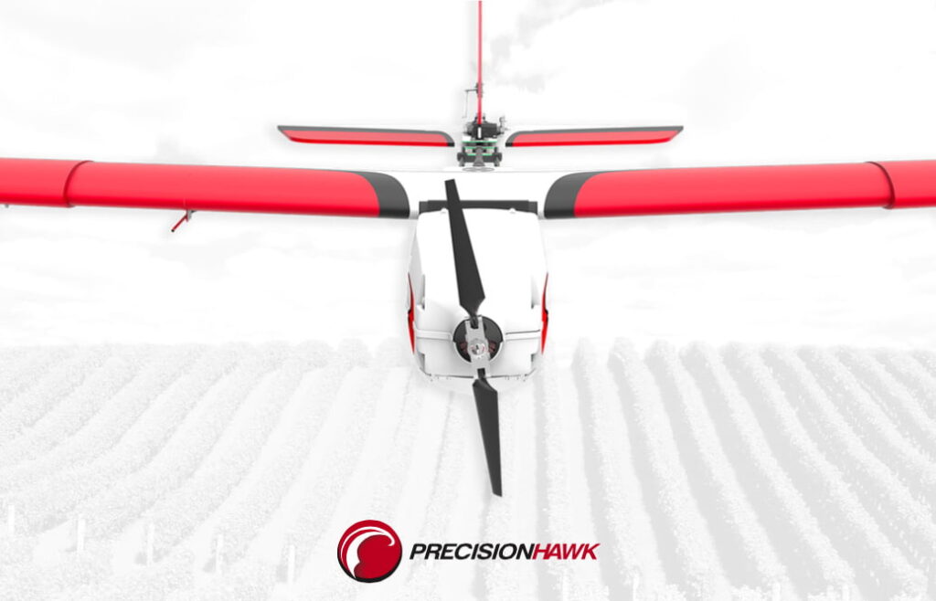
PrecisionHawk is a recognized provider in the field of drone-based aerial data collection and geospatial analysis, supporting industries such as agriculture, energy, construction, and infrastructure. The company’s tools are widely used for tasks like monitoring crop health, conducting site inspections, and gathering geospatial data to enhance operational efficiency and decision-making processes. With advancements in drone […]
Kespry Alternatives: Best Solutions for Drone Analytics and Aerial Data

Kespry is a leading provider of drone-based solutions for aerial data collection and analytics. However, many alternatives in the market cater to various industries with unique functionalities. Below, we explore reliable Kespry alternatives, each offering tools for drone analytics, mapping, and industrial applications to meet diverse business requirements. 1. FlyPix At FlyPix, we provide a […]
Pix4DMapper Alternatives: Top 10 GIS & Photogrammetry Solutions for Accurate 3D Mapping

Pix4DMapper is widely recognized for its photogrammetry and GIS capabilities, allowing users to generate highly detailed 3D models and maps from drone imagery. However, there are numerous alternatives available, each with unique features suited for various industries like construction, agriculture, and infrastructure management. This article covers 10 of the most prominent Pix4DMapper alternatives, offering insights […]
Percepto Alternatives: Top 15 Solutions for Autonomous Aerial Inspection and Data Collection

Percepto has been a leading provider of autonomous aerial data collection and inspection solutions, used across various industries like security, infrastructure, and agriculture. However, numerous alternatives are available in the market, offering distinct features and functionalities that can meet the specific needs of different sectors. This article reviews 15 notable alternatives to Percepto, providing valuable […]