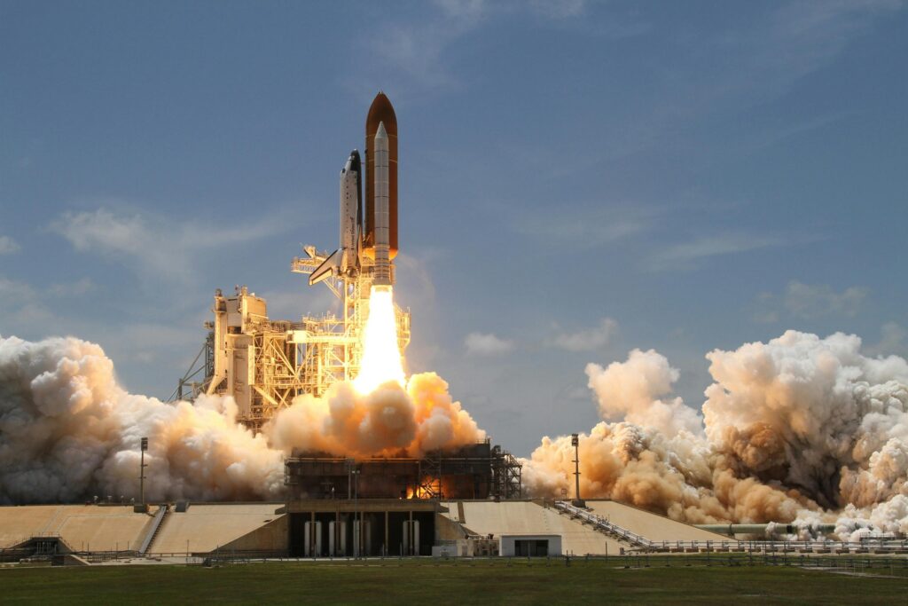
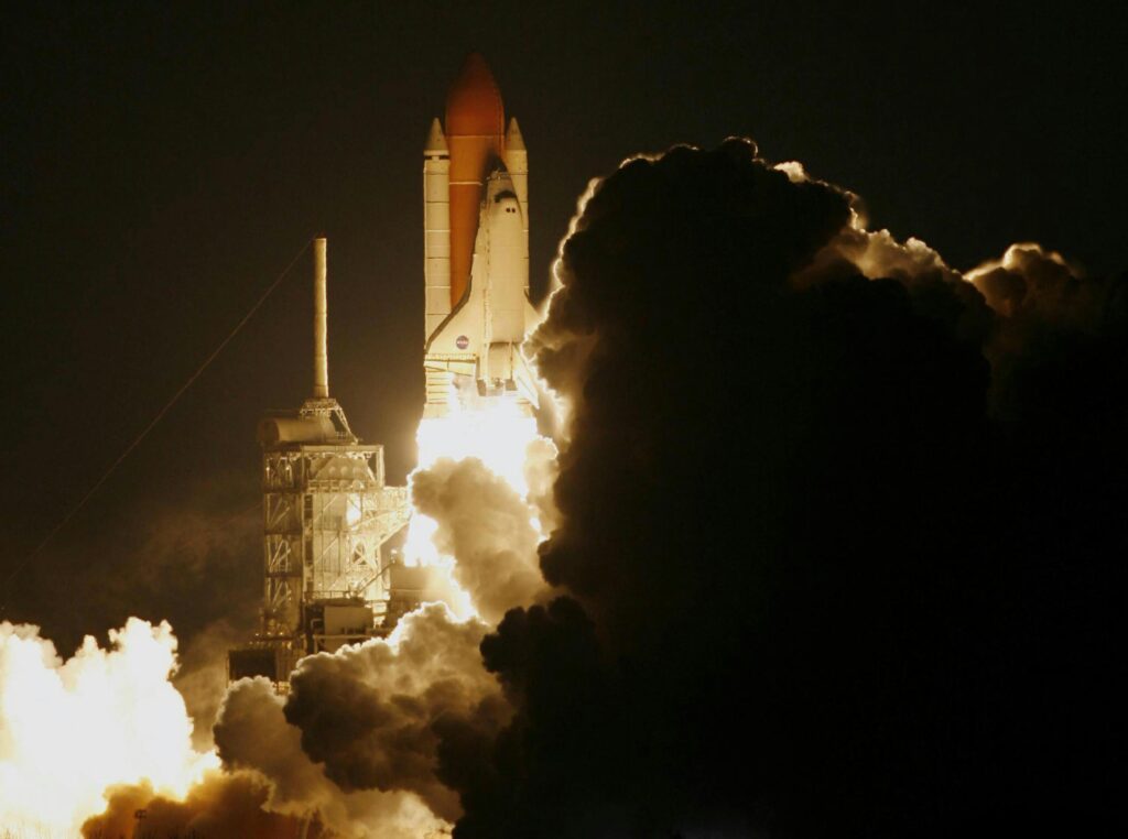
Orbital Debris Tracking: Emerging Solutions to Mitigate Space Junk

Space debris, or “space junk,” has become an escalating issue for satellites and spacecraft orbiting Earth. From defunct satellites to spent rocket stages, the increasing amount of debris in space poses significant risks to operational spacecraft. The situation is critical, particularly in low Earth orbit (LEO), where thousands of objects are traveling at speeds exceeding […]
Satellite Tracking Solutions: The Future of Global Connectivity and Efficient Asset Management

In a world that’s becoming increasingly interconnected, satellite tracking solutions are becoming indispensable for industries across the globe. These systems leverage satellite technology to monitor and manage assets, vehicles, animals, and people in real time, regardless of their location on Earth. Whether it’s monitoring the movement of a shipping container across oceans, ensuring the safety […]
The Critical Role of Space Debris Mapping in Protecting Space Operations

As space exploration expands, managing space debris becomes increasingly important. AI-powered mapping systems help track, analyze, and mitigate risks posed by debris, ensuring the safety of satellites, missions, and future space endeavors. What is a Space Debris and Why its a Problem Space debris, also known as space junk, refers to the remnants of human-made […]
Space Debris Removal: Challenges and Solutions for a Sustainable Orbit
Space debris is a growing and complex problem that poses a significant threat to the sustainability of space activities. As humanity ventures deeper into space, the accumulation of non-functional satellites, rocket fragments, and other space waste increases at an alarming rate. Understanding the scope of this issue, its potential risks to future space operations, and […]
Future Space Exploration Plans for 2025
As humanity reaches new heights in technological innovation, space exploration is poised for transformative advancements in 2025. This year marks a critical juncture, with missions targeting the Moon, Mars, and even the outer reaches of the solar system. Nations and private companies are joining forces to push the boundaries of what is possible, from reusable […]
Deep Space Monitoring: Exploring the Cosmos with Advanced Technologies
Deep space monitoring is an essential aspect of modern space exploration, enabling communication, navigation, and data collection from spacecraft operating far beyond Earth’s orbit. With innovations like quantum communication and AI-driven solutions, this field continues to advance, pushing the boundaries of interplanetary exploration and scientific discovery. What is Deep Space Monitoring? Deep space monitoring is […]
Comprehensive Space Mission Risk Analysis: Trends and Solutions
Space exploration is a high-stakes endeavor where risks such as technical failures, environmental hazards, and operational challenges can jeopardize mission success. Effective risk management is crucial to address these challenges. This article examines key risks, advanced mitigation strategies, and the role of innovative solutions like FlyPix in revolutionizing space mission risk analysis. What is a […]
Top Alternatives to the Parrot Anafi USA for Professional Use
The Parrot Anafi USA is a great drone, especially for professional use in fields like surveying, inspection, and security. But, it’s not the only option out there. If you’re looking for something with similar features — or even something better — you’re in the right place. In this article, we’ll take a look at some […]
Autodesk Civil 3D Alternatives: Top Picks for Your Projects

If you’re into civil engineering or infrastructure design, you’ve probably come across Autodesk Civil 3D. While it’s a great tool, it’s not the only option out there. Whether you’re looking for software with specific features, better pricing, or something that fits your unique workflow, there are plenty of alternatives worth checking out. In this article, […]
Exploring the Best Orbital Insight Alternatives

Orbital Insight has made a name for itself in geospatial analytics, offering powerful tools to analyze satellite and drone imagery for various industries. But it’s not the only option out there. If you’re looking for alternatives that fit your specific needs—whether it’s for agriculture, urban planning, or energy management—there are plenty of great tools to […]