How AI Image Recognition Works: From Pixels to Decisions
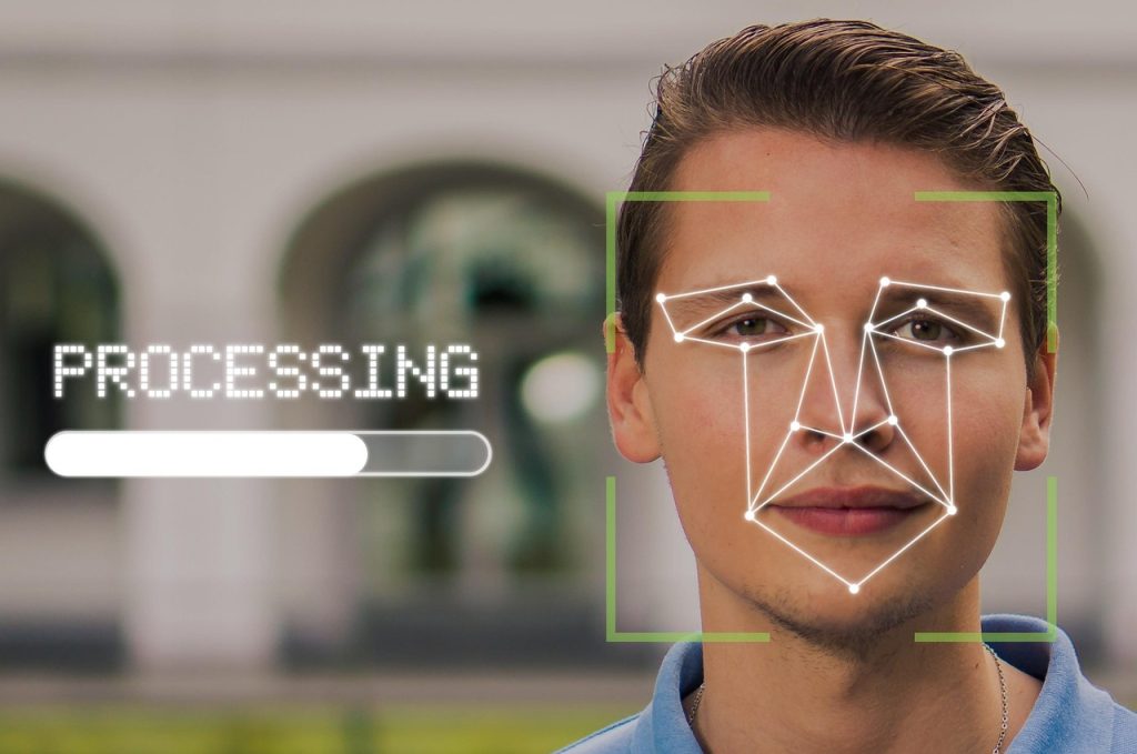
AI image recognition sounds complex, but at its core, it’s about teaching machines to see patterns the way humans do – only faster and at a much larger scale. Every photo, satellite image, or video frame is just data until an AI system learns how to interpret it. That learning process is what turns raw […]
Best Drone Survey Software, Tools, and AI

Drone survey software is transforming the way we map and monitor land. With advanced tools and AI integration, these technologies allow for precise data collection and analysis. Whether you’re in construction, agriculture, or land management, finding the right drone software can streamline operations, reduce costs, and improve accuracy. In this article, we’ll explore the top […]
Leading Satellite Thermal Imaging Tools & Providers
Thermal imaging from space sounds like sci-fi, but it’s very real (and very useful). Whether you’re tracking wildfires, monitoring industrial sites, or checking building heat loss, satellite thermal images now let us “see what’s invisible.” But who’s doing this well right now? In this guide, we’ll walk you through some of the top companies offering […]
FlyPix AI Geospatial Platform Available on AWS Marketplace

We’re excited to announce that the FlyPix AI Geospatial Analysis Platform is now available on AWS Marketplace, making it easier than ever to access and deploy advanced geospatial AI capabilities within your existing AWS environment. FlyPix AI automates object detection, change monitoring, and geospatial analysis across satellite, aerial, and drone imagery. With a powerful no-code […]
Best Road Damage Detection Tools for Efficient Maintenance
Effective road damage detection is essential for maintaining safe and durable infrastructure. Modern tools use AI, LiDAR, infrared sensors, and high-resolution imaging to identify cracks, potholes, and surface deformations with high precision. 1. FlyPix AI At FlyPix AI, we are transforming how road infrastructure is monitored and maintained using artificial intelligence. Our platform specializes in […]
Best Location Intelligence Software, Tools, and AI Platforms
Location intelligence sounds technical, but in practice it’s pretty straightforward: it’s about making sense of data tied to a place. Instead of just staring at maps or satellite images, businesses use software and AI tools to spot patterns, monitor changes, and make decisions that are grounded in the real world. The field stretches across industries, […]
A Deep Dive into the Best Stockpile Measurement Tools
Managing stockpiles is a big deal in industries like mining, construction, and agriculture, where knowing exact volumes can make or break your bottom line. Whether you’re tracking gravel, coal, or grain, the right measurement tool saves you from guesswork and costly mistakes. I once heard about a site manager who relied on eyeballing his piles […]
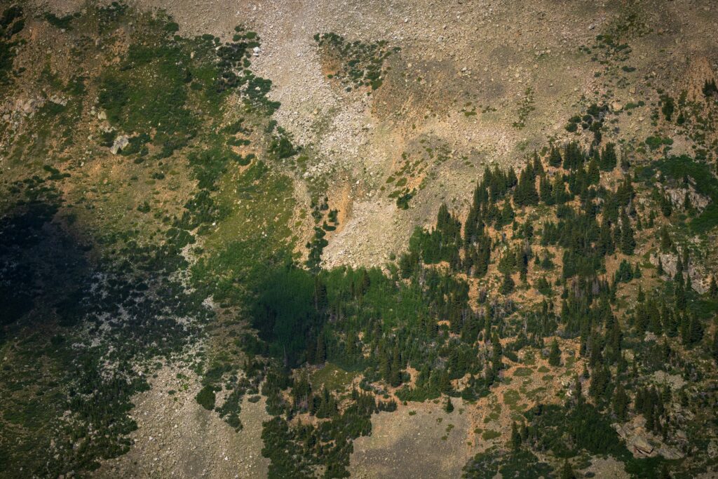
Best Terrain Analysis Tools for Mapping and Exploration

Whether you’re a geographer, urban planner, or outdoor enthusiast, understanding the lay of the land is crucial. Terrain analysis tools help you map elevations, slopes, and landforms with precision. From GIS software to LiDAR-based platforms, these tools provide critical insights for planning, navigation, and environmental studies. In this guide, we’ll explore the best terrain analysis […]
Topographic Analysis Tools
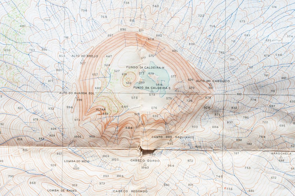
Topography is the quiet backbone of spatial intelligence. Mapping landforms, gradients, and surface changes used to take weeks of manual work – now it can happen in minutes. With modern topographic analysis tools, we read elevation, slope, and contour data in ways that are both visual and computationally precise. These platforms bring automation to tasks […]
The Ultimate Guide to Geospatial Analysis Software and AI Tools
Navigating the world of geospatial analysis can feel like stepping into a different dimension—where maps come alive with data and AI helps us see patterns that weren’t visible before. Whether you’re managing land use, tracking environmental changes, or planning urban development, the right geospatial tools can make a significant difference. This guide dives into the […]