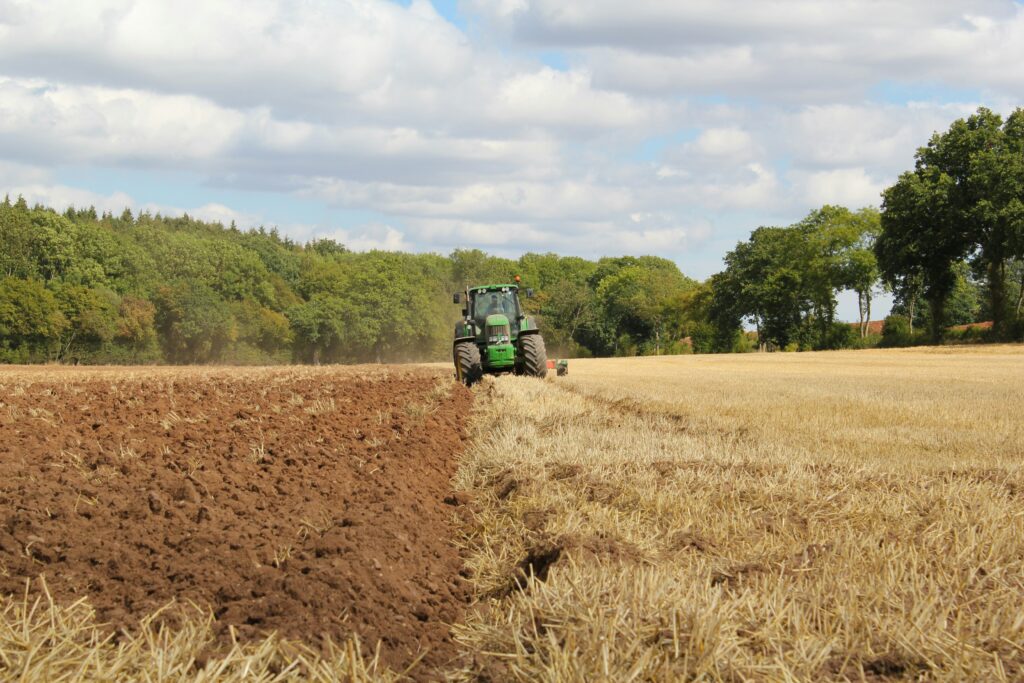
Top Aerial Survey Software & Tools for 2025

Aerial surveying has become increasingly sophisticated, thanks to advancements in software, tools, and AI technologies. Whether you’re managing large-scale land assessments or detailed environmental studies, the right tools can make a significant difference. This guide covers some of the most notable software and tools available for aerial surveying in 2025, helping you choose the best […]
Top NDVI Mapping Tools for Effective Vegetation Analysis

NDVI (Normalized Difference Vegetation Index) is a crucial tool for monitoring vegetation health and land productivity. By leveraging satellite imagery and remote sensing technology, NDVI mapping tools allow farmers, environmentalists, and urban planners to obtain valuable insights into plant health, crop yield predictions, and land use planning. In this article, we will explore some of […]
Top Precision Farming Software, Tools & AI Solutions
Farming isn’t just about hard work anymore—it’s about smart work. With precision farming software and AI-driven tools, farmers can now monitor their crops in real-time, make data-driven decisions, and optimize their yields like never before. Whether you’re a seasoned farmer or just starting, these technologies can take your farming to the next level. Ready to […]
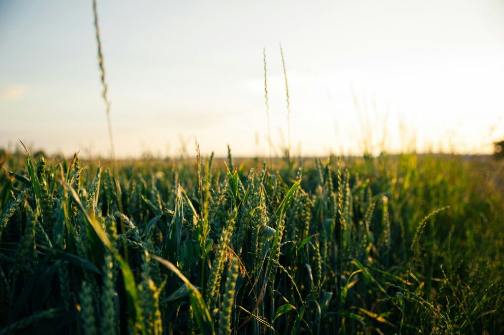
Best Crop Monitoring Software and AI Tools for Smarter Farming
In today’s world, farming isn’t just about the soil and seeds; it’s about data, too. With crop monitoring software and AI tools, farmers are transforming how they grow food, monitor crops, and make decisions. From drones capturing aerial imagery to AI predicting crop health, these tech innovations make farming easier and more efficient. In this […]
Top Geospatial Software, Tools, and AI Solutions

Ever wonder how those maps on your phone know exactly where you are or how cities plan out their layouts? That’s geospatial technology at work. Today, we’re diving into the world of geospatial software and AI tools—two key players in helping us make sense of all that location data. Whether it’s tracking environmental changes or […]
Best Image Processing Software, Tools, and AI for 2026

When it comes to working with images, whether for editing, analysis, or automation, having the right software and tools is essential. With the advancements in AI, the landscape of image processing has evolved, offering more efficient and powerful solutions. This article takes a straightforward look at some of the top image processing software and AI […]
Unlocking Earth’s Hidden Treasures: The Best Satellite Mineral Mapping Tools
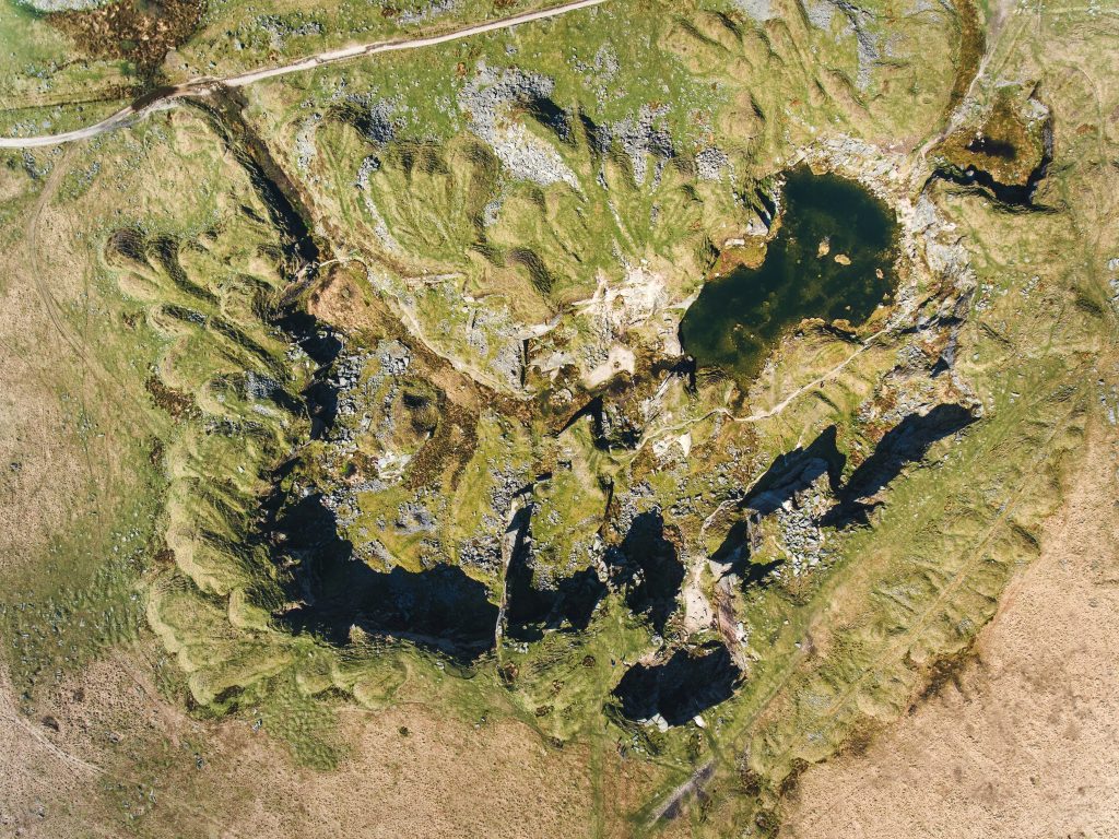
Picture this: vast, rugged landscapes stretching out endlessly, hiding deposits of gold, lithium, or rare earth elements that could power the next big breakthrough in clean energy or tech. Back in the day, spotting those riches meant endless boots-on-the-ground surveys-costly, slow, and often hit-or-miss. But fast-forward to 2026, and satellite tech has flipped the script. […]
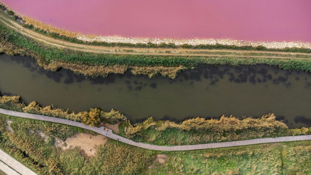
Best Tools for Surface Water Mapping and Monitoring
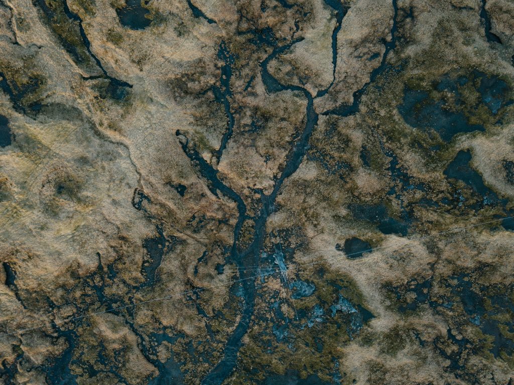
Surface water changes fast, especially when you’re dealing with floods, seasonal shifts, or long-term drought patterns. Whether you’re in environmental research, infrastructure planning, or climate monitoring, having the right tools to map and track water bodies isn’t just helpful, it’s essential. In this guide, we’re walking through a mix of platforms that make surface water […]
Drone Image Processing: Tools and AI Software You Should Know
Drone photography and videography are becoming more common, but raw footage often needs a bit of work before it’s ready for use. That’s where drone image processing software comes in. These tools help transform aerial shots into professional-grade images and videos. Whether you’re mapping landscapes, surveying construction sites, or just capturing stunning aerial views, knowing […]
Top Field Mapping Software, Tools, and AI Solutions
Field mapping software and AI tools are becoming essential in many industries, from agriculture to urban planning. These tools help collect, visualize, and analyze data from the field, making complex tasks more manageable. Whether you’re tracking crop health, mapping out a construction site, or conducting environmental research, understanding how these technologies work can save time, […]