
24 Best Floodplain Mapping Tools (2026)
Understanding flood risks is crucial for urban planning, insurance, and disaster preparedness. Floodplain mapping tools make it easier

Top 22 Land Use Change Tools (2026)
Land use change tools are essential for urban planners, developers, and policymakers looking to analyze and manage land

Top 18 Baseline Environmental Assessment Tools (2026)
Figuring out your project’s environmental footprint can feel like trying to solve a giant puzzle – but luckily,
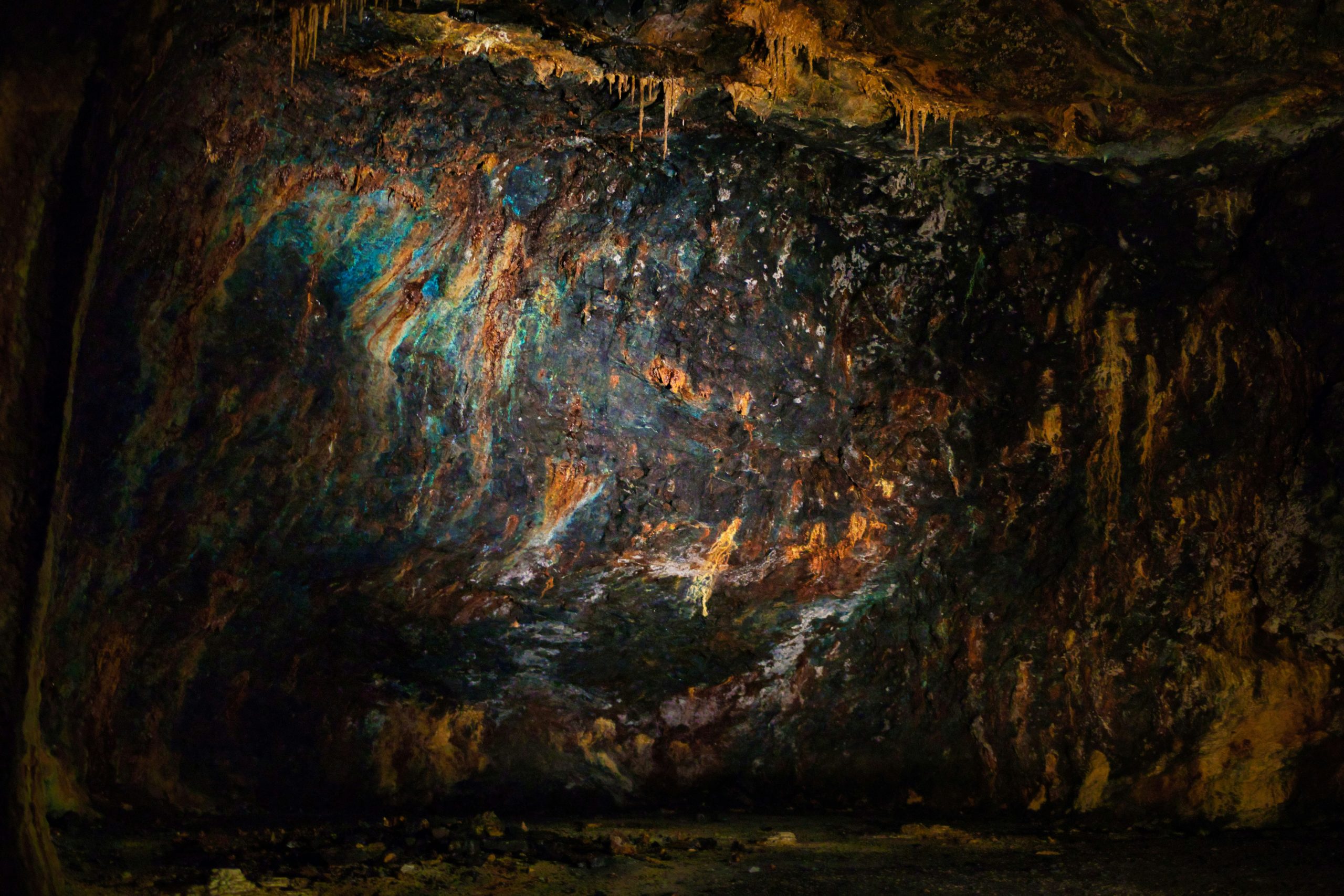
Top 20 Mineral Exploration Tools (2026)
Mineral exploration isn’t glamorous; it’s long days, spotty signals, and mountains of data that need wrangling. But with

Top 27 Change Detection Tools (2026)
Change detection tools play a critical role in remote sensing and geospatial analysis by identifying and quantifying changes
20 Best Forest Management Software & AI Tools (2026)
Forest management is crucial for maintaining healthy ecosystems, ensuring sustainable resource use, and addressing environmental challenges. In today’s

Top 21 Hydrological Mapping Tools (2026)
Hydrological mapping tools are a game-changer for anyone trying to figure out how water moves through landscapes. Whether
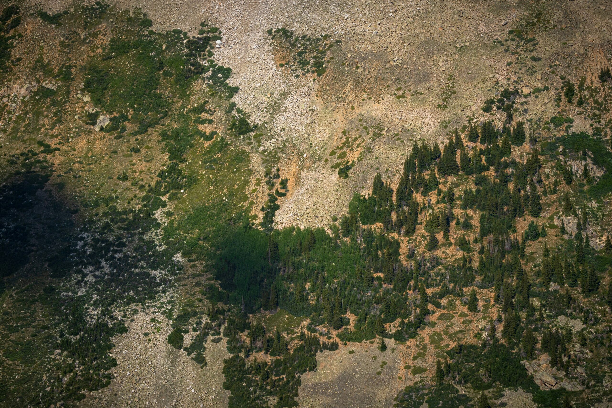
20 Best Geospatial Intelligence Software and AI Tools (2026)
Geospatial intelligence (GEOINT) software and AI tools are changing the way we understand and interact with the world.

23 Best Oil Spill Detection Tools (2026)
Oil spills pose a major threat to marine and coastal ecosystems. Detecting them early is crucial for minimizing