
Top Change Detection Tools for Earth Observation and Monitoring
Change detection tools play a critical role in remote sensing and geospatial analysis by identifying and quantifying changes
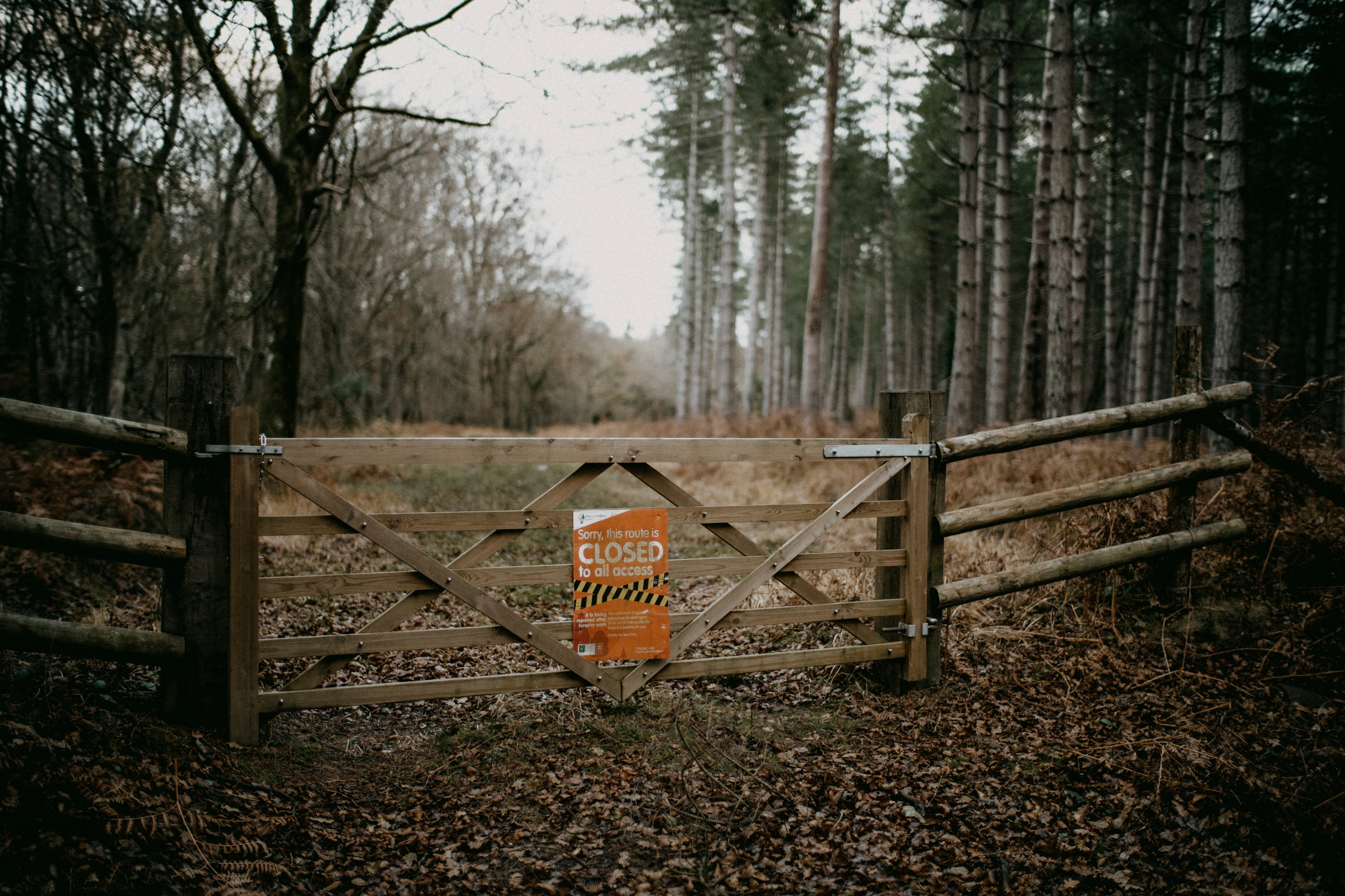
Forest Management Software: Top Tools & AI Solutions
Forest management is crucial for maintaining healthy ecosystems, ensuring sustainable resource use, and addressing environmental challenges. In today’s

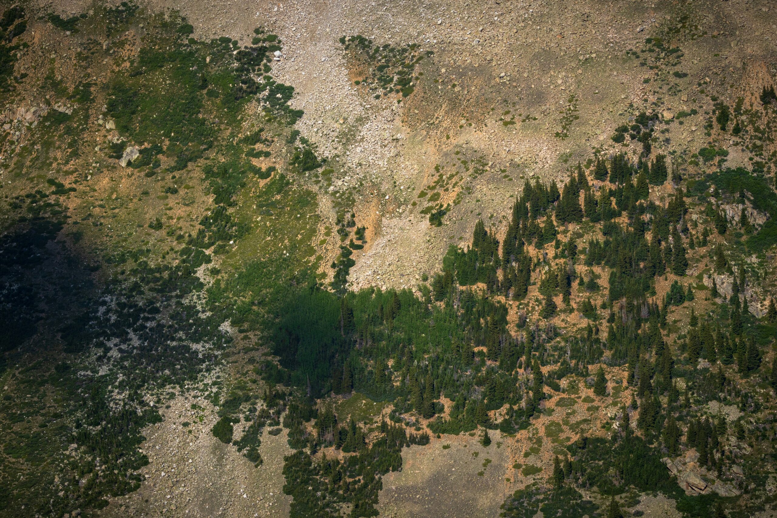
Top Hydrological Mapping Tools
Hydrological mapping tools are a game-changer for anyone trying to figure out how water moves through landscapes. Whether
Geospatial Intelligence Software and AI Tools
Geospatial intelligence (GEOINT) software and AI tools are changing the way we understand and interact with the world.

Best Oil Spill Detection Tools & Technologies
Oil spills pose a major threat to marine and coastal ecosystems. Detecting them early is crucial for minimizing

Top Biodiversity Monitoring Tools You Need to Know
In today’s world, protecting our planet’s wildlife and natural ecosystems is more important than ever. Thankfully, technology is

Top Free Annotation Tools for Data Labeling
If you’re diving into machine learning or AI, you’ll quickly realize that data labeling is a crucial step.

Top Aquaculture Monitoring Tools for Smarter Fish Farming
Keeping fish farms running smoothly isn’t just about feeding fish—it’s about monitoring water quality, oxygen levels, and overall

Railway Track Inspection Tools: Essential Equipment for Safety
Regular railway track inspections are crucial for maintaining safety, preventing derailments, and ensuring efficient operations. Various tools, from