
Understanding Terrain Classification: Methods, Applications, and Insights
Terrain classification is the process of categorizing and mapping different types of landscapes or surfaces based on their

Railway Track Inspection: The Ultimate Guide for Safe and Efficient Operations
Railway track inspection is a critical part of modern transportation. Trains carry passengers and cargo across thousands of

AI Feature Extraction: Techniques, Benefits, and Applications
AI feature extraction is a crucial step in machine learning that converts raw data into meaningful information for

A Comprehensive Guide to Land Cover Classification
Land cover classification might sound like a niche topic at first, but it touches many aspects of our

UAV Aerial Inspection: A Comprehensive Guide for Modern Industries
Unmanned Aerial Vehicles (UAVs), commonly known as drones, are changing the way industries inspect, monitor, and manage assets.
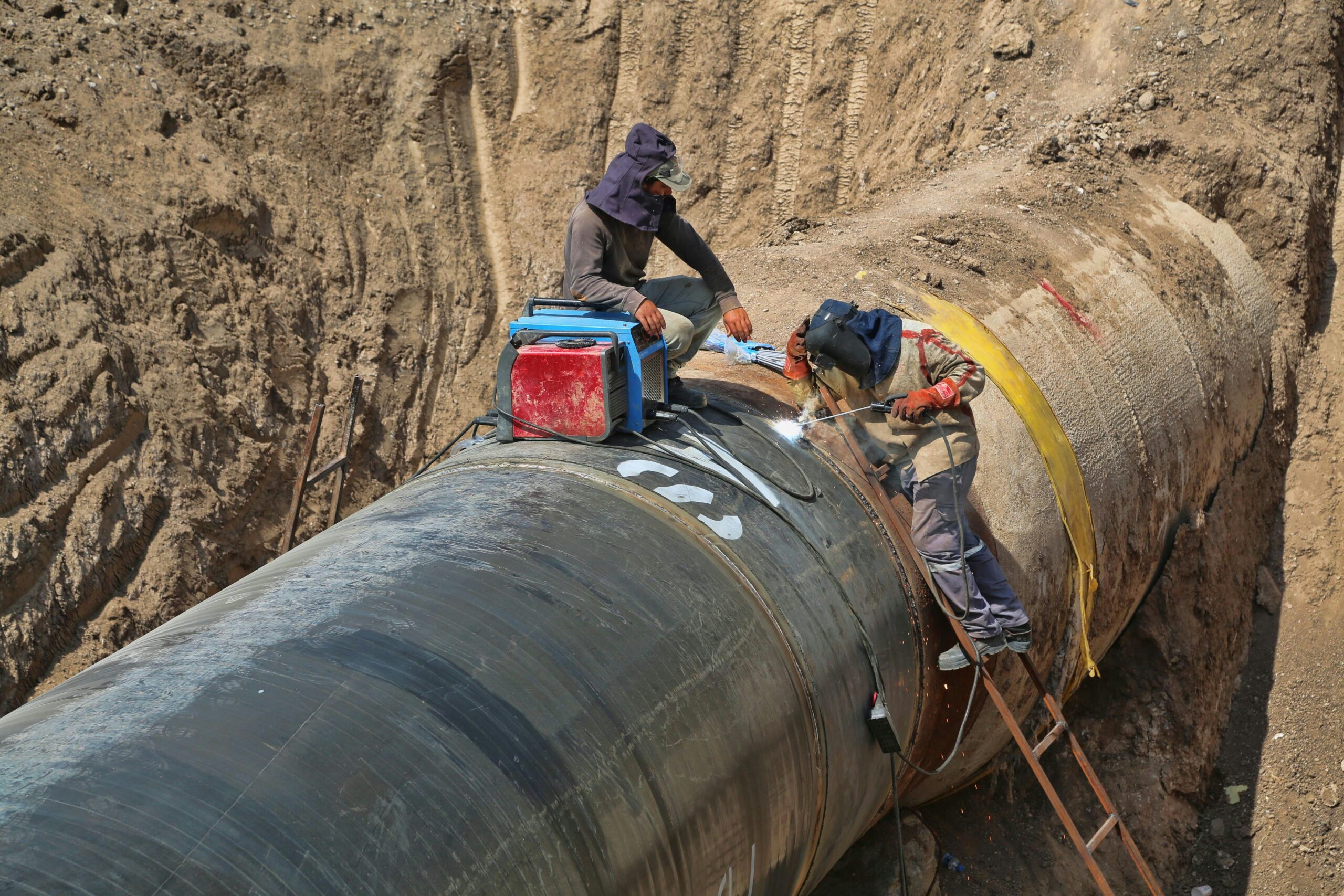
Pipeline Monitoring: A Comprehensive Guide to Safety and Efficiency
Pipeline monitoring is the practice of continuously observing pipelines to detect leaks, prevent failures, and ensure safe, efficient

Understanding the Global Land Use Change Crisis: Causes, Impacts, and Solutions
Land use change—the transformation of natural landscapes for human purposes—is one of the most pressing yet overlooked environmental

Exploring the Benefits and Applications of Reality Capture in Hobart
Reality capture technology has revolutionized industries by providing accurate 3D representations of environments through advanced scanning and imaging

Reality Capture Pricing: What It Costs & How to Save
Reality Capture is changing the way we document and recreate real-world spaces, but it doesn’t have to break