
Discovering Geospatial Companies in Florida: Innovation in Action
Florida isn’t just famous for its sunny beaches and theme parks—it’s also a thriving hub for geospatial technology.

Exploring Geospatial Companies in Delaware: Innovators in Mapping and Data
Have you ever wondered how your favorite apps always know where you are or how businesses optimize their

Top Geospatial Companies in Connecticut
Connecticut may be one of the smaller states in the U.S., but it’s making big waves in the

Top Geospatial Companies in Colorado
Colorado’s unique geography and thriving tech ecosystem make it a hotspot for geospatial innovation. From the Rocky Mountains

Top 10 Geospatial Companies in California
California is a hub for innovation, and when it comes to geospatial technology, it’s no exception. From mapping

Leading Geospatial Companies in Arkansas
Arkansas is home to a growing number of geospatial companies that are making waves in industries like agriculture,

Geospatial Companies in Arizona
Arizona is a hub for geospatial companies that specialize in GIS, remote sensing, and mapping technologies. These companies
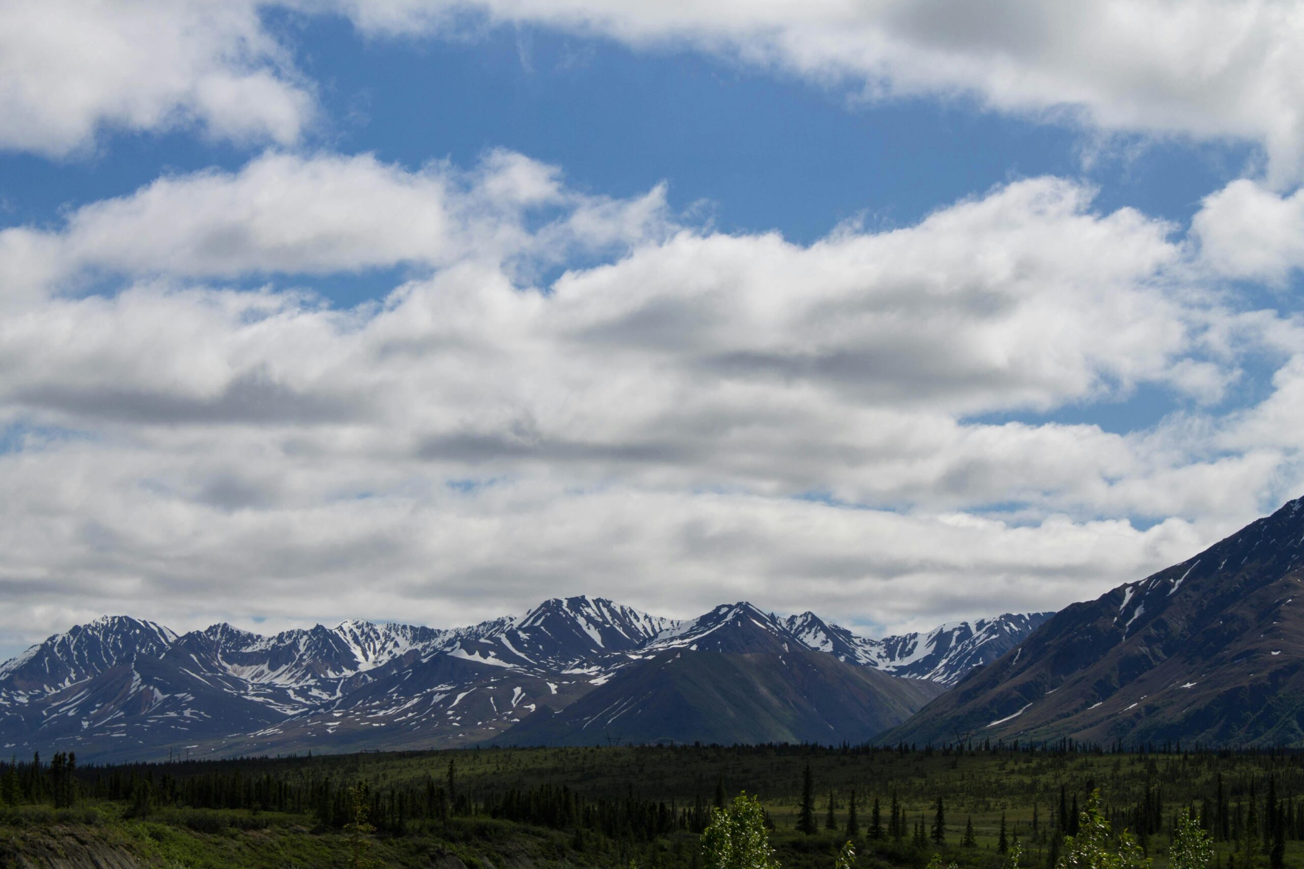
Geospatial Companies in Alaska
Alaska, known for its vast landscapes and unique challenges, is home to several geospatial companies offering critical services.

Geospatial Companies in Alabama
Alabama is home to several geospatial companies that provide advanced mapping, GIS, and data solutions across industries like