

Top UAV Aerial Inspection Tools for Accurate Assessments
Unmanned Aerial Vehicles (UAVs) have revolutionized the way inspections are conducted across industries like construction, energy, and agriculture.

Top Agricultural Zoning Tools to Optimize Your Land Use
When it comes to managing large agricultural plots, zoning is key to maximizing efficiency. With the right tools,
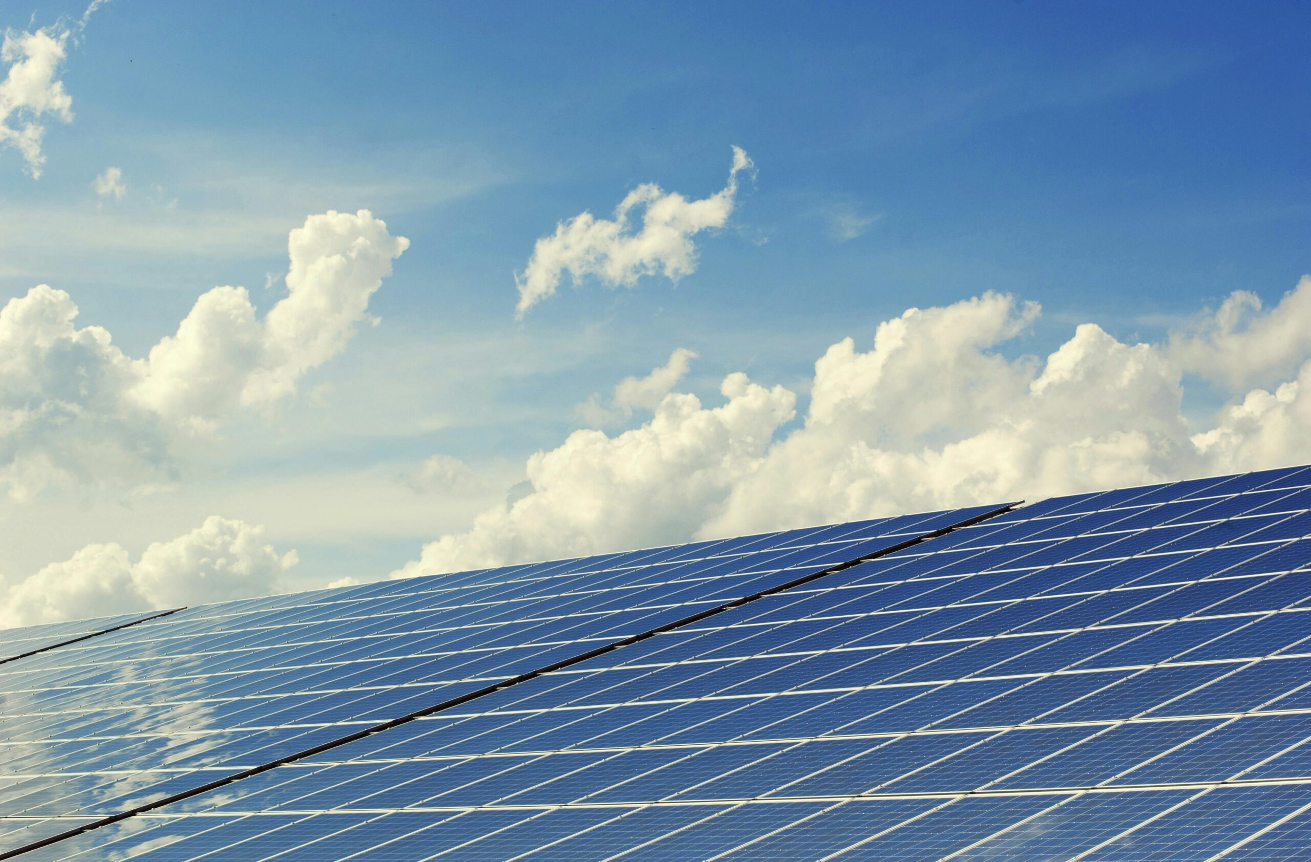
Best Solar Farm Assessment Tools to Optimize Performance
When it comes to managing a solar farm, choosing the right assessment tools is crucial. These tools help

Top Terrain Classification Tools for Accurate Mapping
Understanding terrain is crucial for mapping, environmental planning, and land assessment. Whether you’re a GIS professional, researcher, or
Reality Capture vs Photoscan: Key Differences Explained
The rise of 3D scanning and photogrammetry technologies has revolutionized how we capture and analyze the world around

Reality Capture Network Conferences: Must-Attend Events
Reality capture technology is revolutionizing industries, from construction to heritage preservation. If you want to stay updated on
Understanding the Reality Capture Process
Reality capture is the process of digitally recording the physical world using advanced technologies such as laser scanning,

Telecommunications Reality Capture: Transforming Network Infrastructure
Telecommunications reality capture is revolutionizing how network infrastructure is designed, built, and maintained. By using technologies like LiDAR,

Reality Capture Cloud Processing: Transforming 3D Data into Actionable Insights
In the modern world of construction, engineering, and architecture, accuracy and efficiency are paramount. One of the most