

Best Alternatives to Trimble GPS Pathfinder
If you’re looking for alternatives to Trimble GPS Pathfinder, you’ve come to the right place. Whether you’re in

Best Alternatives to Pix4DCloud for Drone Data Processing
If you’re exploring options beyond Pix4DCloud for handling your drone data, you’re in the right place. Whether you’re

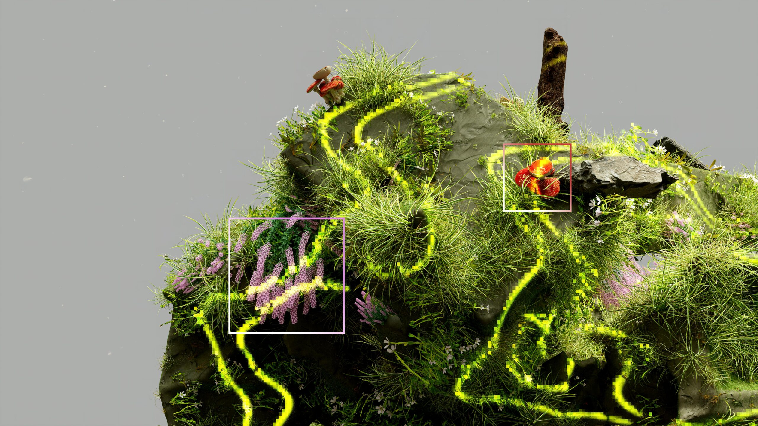
What Is Reality Capture?
Reality capture is changing the way we approach design, construction, and asset management. By combining advanced technologies like
Best Reality Capture Experts: Top Companies to Know
Reality capture technology is revolutionizing industries like construction, real estate, and manufacturing. With advanced 3D scanning and digital

Leica Infinity Alternatives: Comprehensive Solutions for Surveying and Geospatial Analysis
Leica Infinity is a highly advanced geospatial software widely used for managing, processing, and analyzing surveying data with

Skydio Enterprise Alternatives: Reliable Solutions for Autonomous Drone Operations
Skydio Enterprise is a leading provider of autonomous drone technology for industrial inspections, mapping, and security. Known for
Hexagon Geospatial Alternatives: Reliable GIS and Mapping Solutions
Hexagon Geospatial is a widely recognized provider of tools for mapping, geospatial analysis, and 3D modeling. However, several

Carlson Software Alternatives: Comprehensive Guide to Top CAD and Engineering Tools
Carlson Software is renowned for its robust CAD tools and civil engineering solutions, supporting professionals in surveying, hydrology,

SkyGrid Alternatives: Comprehensive Guide to Leading Drone-Based Solutions
SkyGrid is recognized for its innovative approach to managing drone operations and aerial data. Skygrid offers a solution