
Best Location Intelligence Software, Tools, and AI Platforms
Location intelligence sounds technical, but in practice it’s pretty straightforward: it’s about making sense of data tied to

A Deep Dive into the Best Stockpile Measurement Tools
Managing stockpiles is a big deal in industries like mining, construction, and agriculture, where knowing exact volumes can

Best Terrain Analysis Tools for Mapping and Exploration
Whether you’re a geographer, urban planner, or outdoor enthusiast, understanding the lay of the land is crucial. Terrain
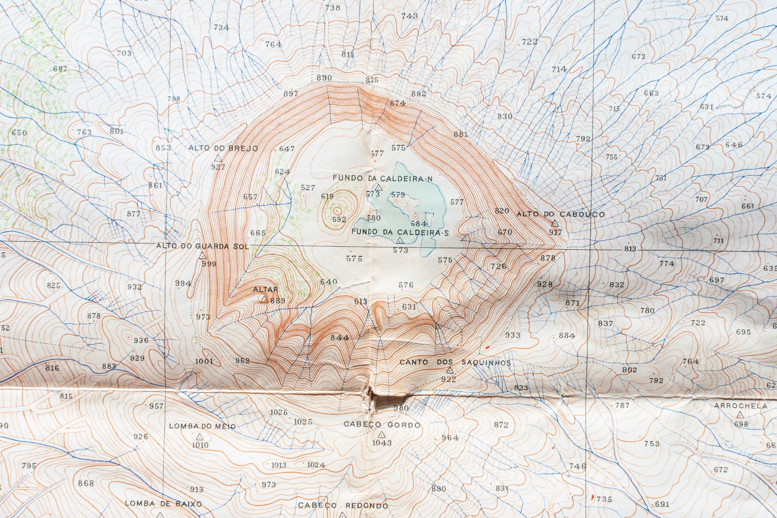
Topographic Analysis Tools
Topography is the quiet backbone of spatial intelligence. Mapping landforms, gradients, and surface changes used to take weeks

The Ultimate Guide to Geospatial Analysis Software and AI Tools
Navigating the world of geospatial analysis can feel like stepping into a different dimension—where maps come alive with

Top Aerial Survey Software & Tools for 2025
Aerial surveying has become increasingly sophisticated, thanks to advancements in software, tools, and AI technologies. Whether you’re managing

Top NDVI Mapping Tools for Effective Vegetation Analysis
NDVI (Normalized Difference Vegetation Index) is a crucial tool for monitoring vegetation health and land productivity. By leveraging
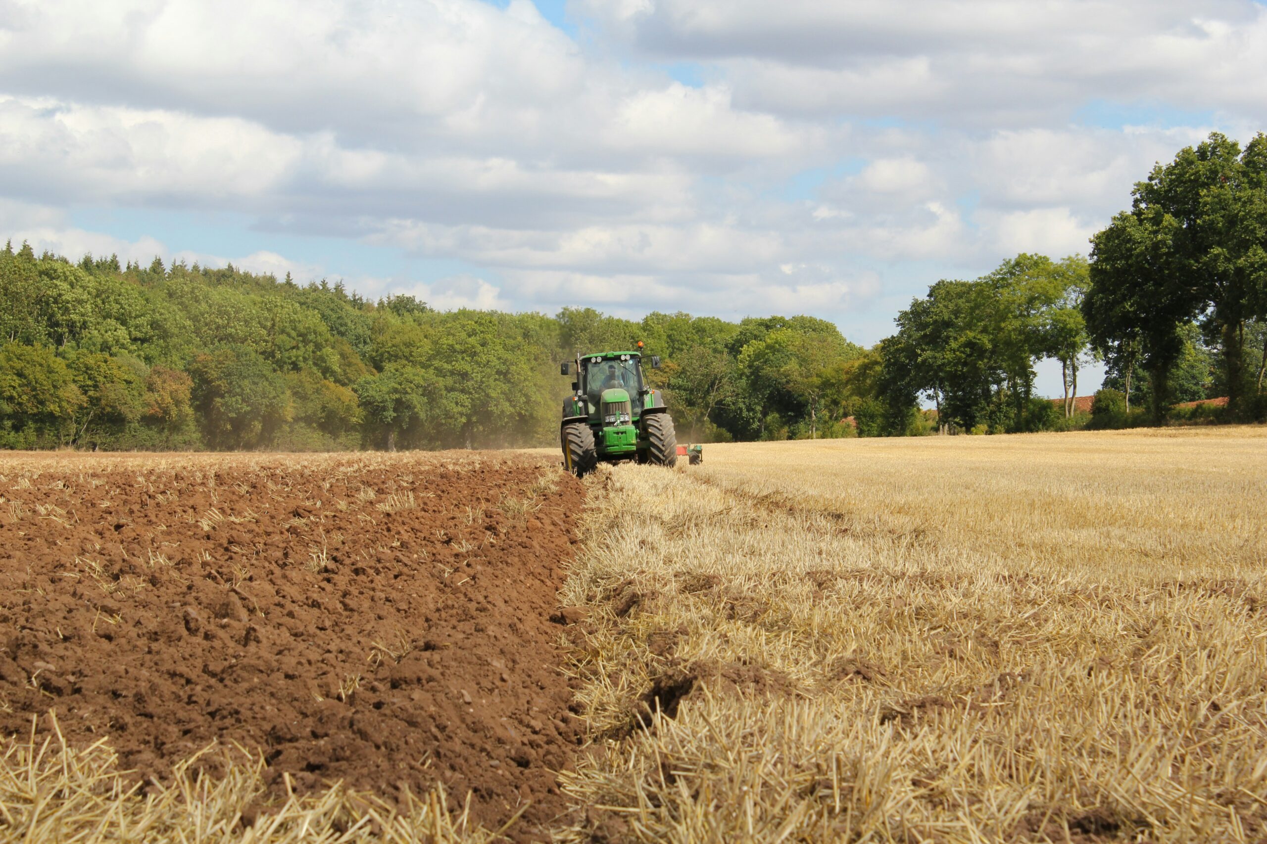
Top Precision Farming Software, Tools & AI Solutions
Farming isn’t just about hard work anymore—it’s about smart work. With precision farming software and AI-driven tools, farmers

Best Crop Monitoring Software and AI Tools for Smarter Farming
In today’s world, farming isn’t just about the soil and seeds; it’s about data, too. With crop monitoring