Top Mine Maintenance Software and AI Tools for 2024
Mining operations rely heavily on effective maintenance strategies to ensure safety and productivity. With advancements in technology, software
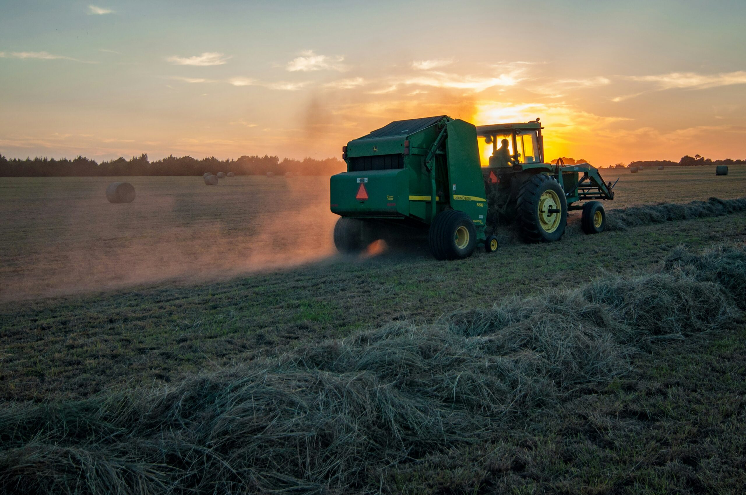
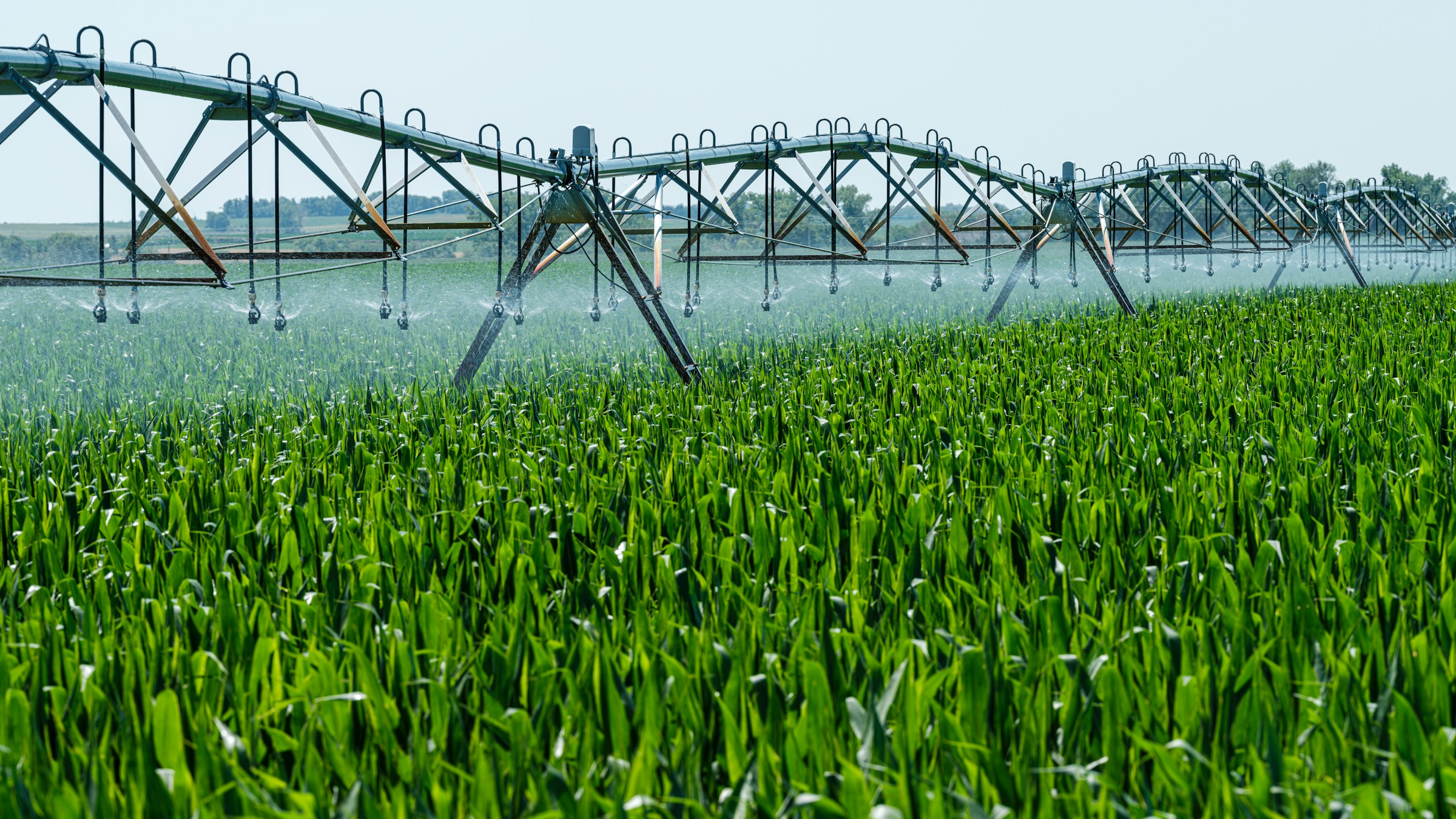
Understanding Precision Agriculture: Tools, Software, and AI
Farming is changing rapidly with the rise of technology, and precision agriculture is at the forefront of this

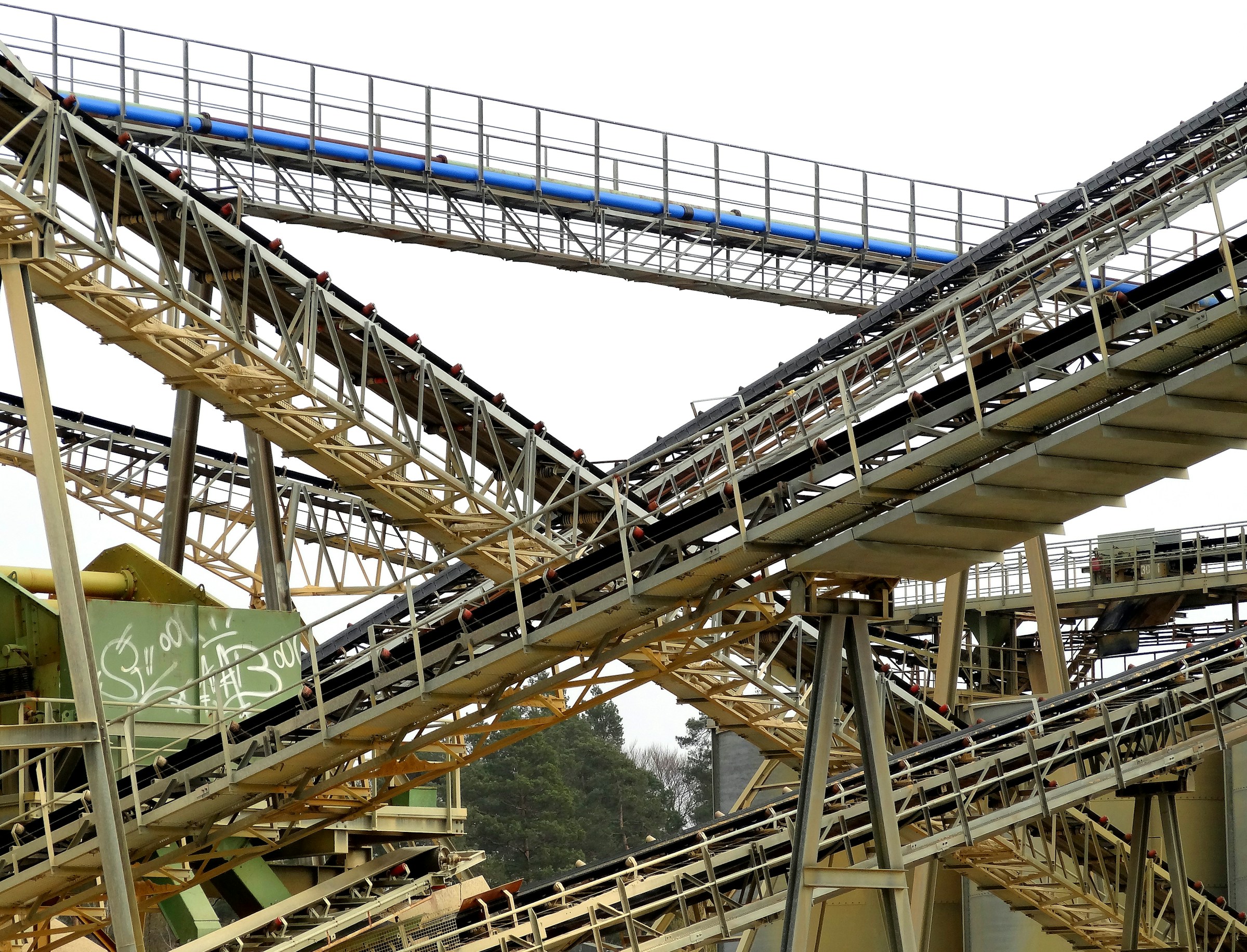
Essential Mining Industry Software, Tools, and AI Solutions
The mining industry has increasingly turned to software, tools, and AI solutions to tackle its complex challenges. These
Top Land Management Software, Tools, and AI Solutions
Managing land efficiently requires more than just traditional methods. Today, land management software and AI tools offer powerful

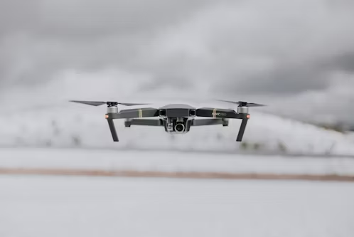
Top Drone Mapping Companies in the USA
Drone mapping is revolutionizing how industries like construction, agriculture, and real estate conduct surveys and gather data. In
Top Wind Turbine Drone Inspection Companies in the USA
Wind turbines are critical components of the renewable energy infrastructure, and ensuring their optimal performance requires regular and

Top Drone Surveying Companies in the USA
Drone surveying has become an essential tool for industries that require accurate and efficient data collection from the

Top Commercial Drone Companies in the USA
The commercial drone industry in the USA is booming, with companies leading the way in providing innovative UAV

Top Agriculture Drone Companies in the USA
Agriculture drones are transforming the farming industry by providing farmers with powerful tools to monitor crops, assess soil