
Top Geospatial Software, Tools, and AI Solutions
Ever wonder how those maps on your phone know exactly where you are or how cities plan out

Best Image Processing Software, Tools, and AI for 2026
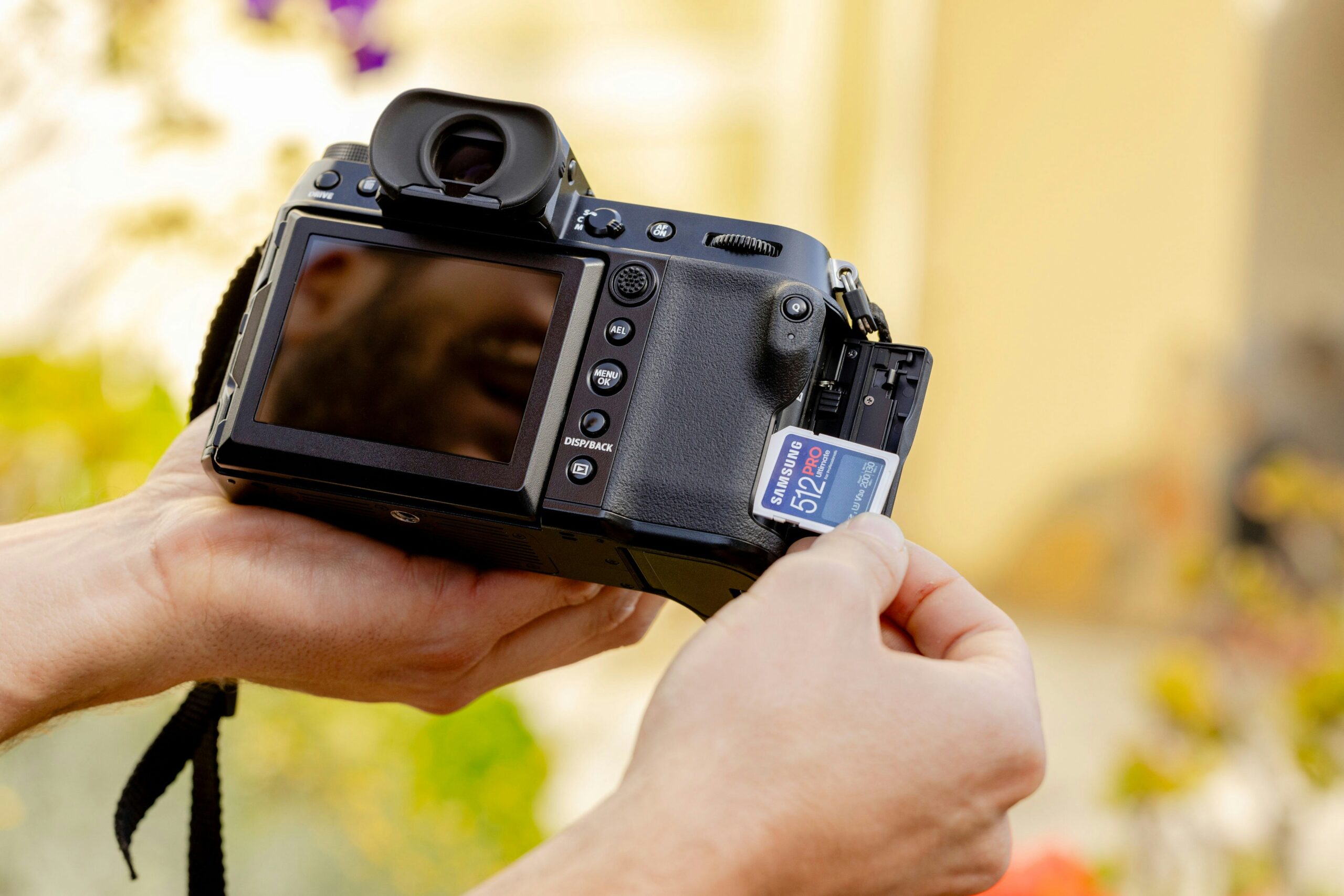
When it comes to working with images, whether for editing, analysis, or automation, having the right software and
Unlocking Earth’s Hidden Treasures: The Best Satellite Mineral Mapping Tools
Picture this: vast, rugged landscapes stretching out endlessly, hiding deposits of gold, lithium, or rare earth elements that
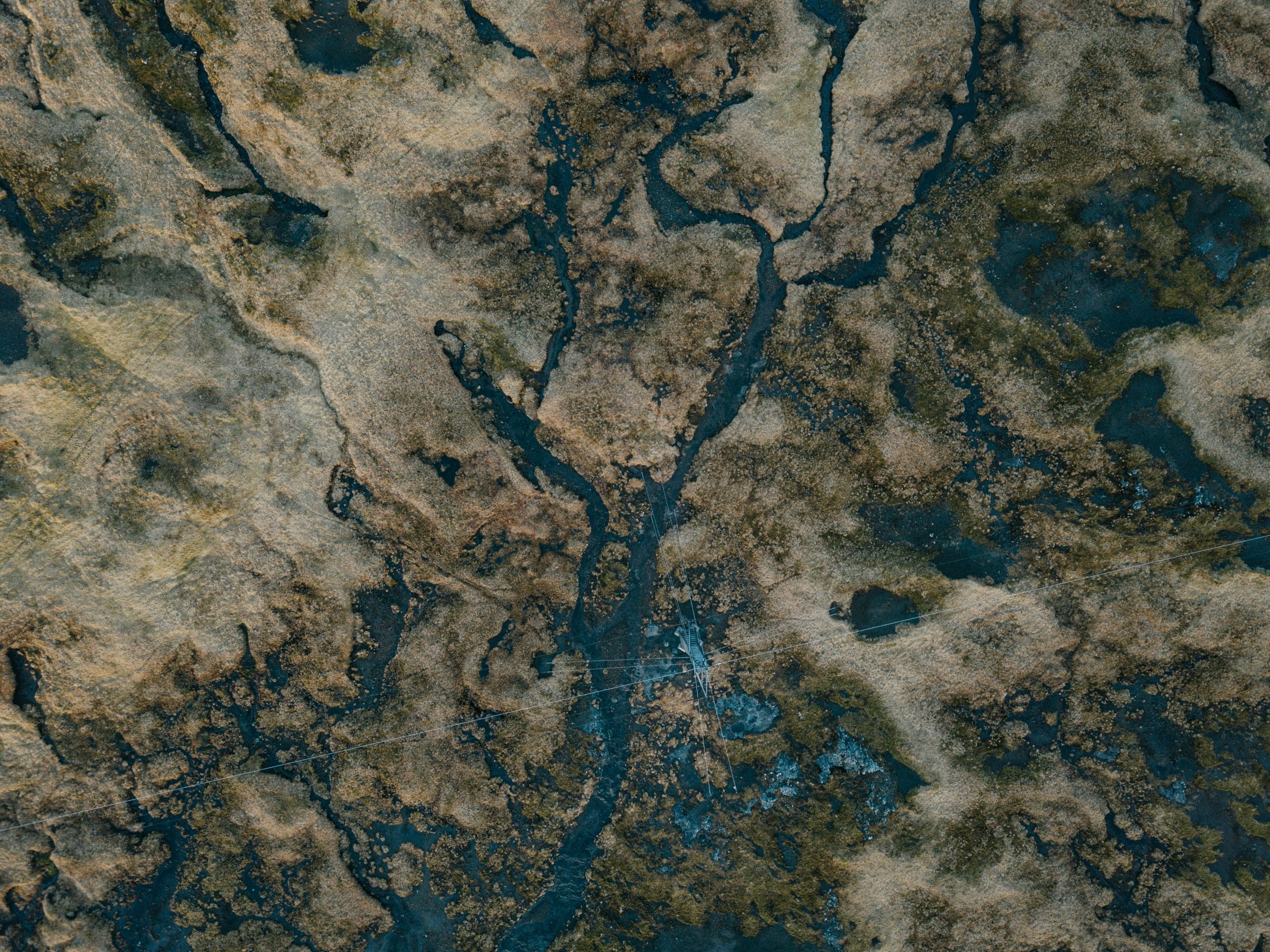
Best Tools for Surface Water Mapping and Monitoring
Surface water changes fast, especially when you’re dealing with floods, seasonal shifts, or long-term drought patterns. Whether you’re
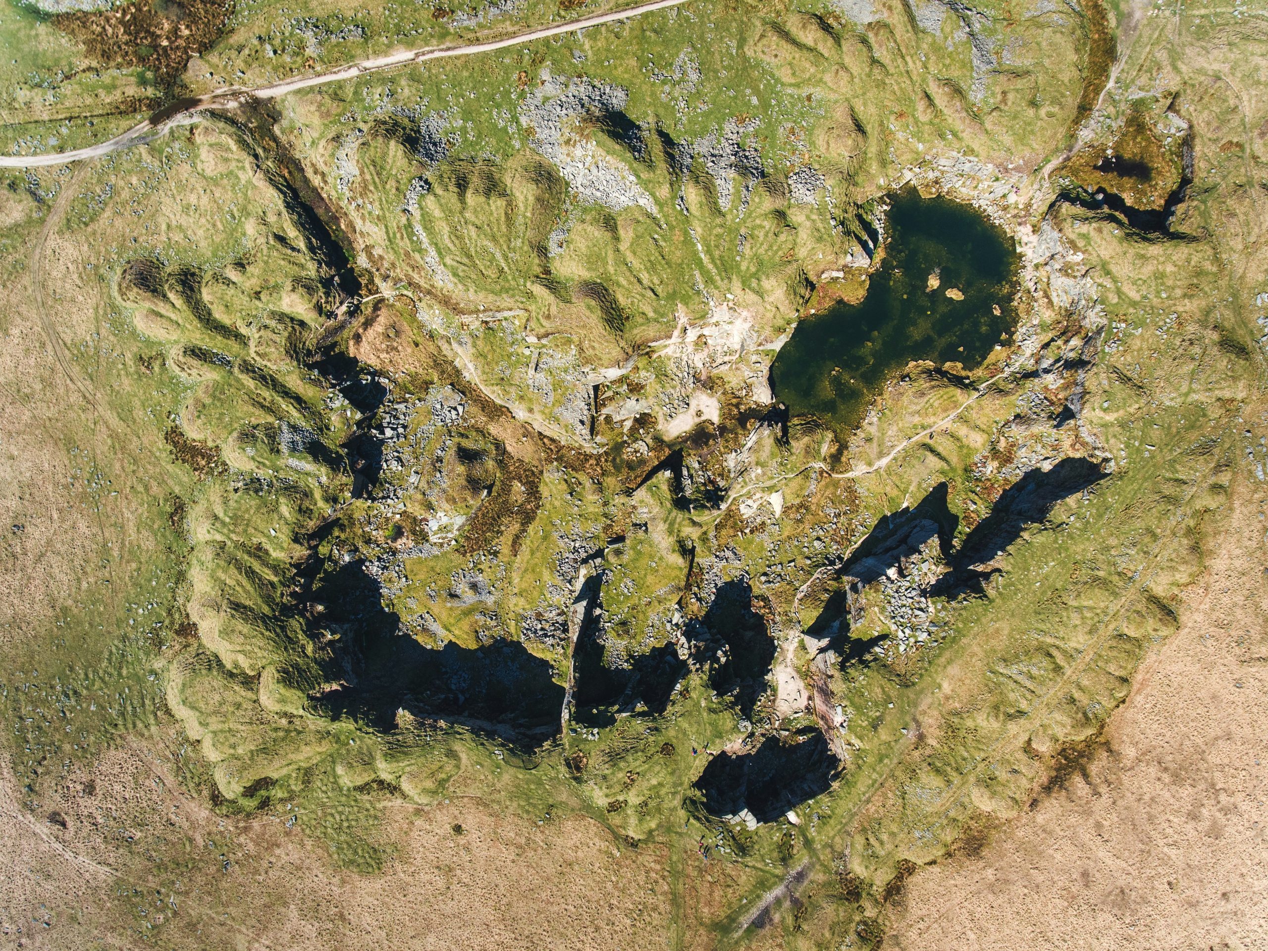
Drone Image Processing: Tools and AI Software You Should Know
Drone photography and videography are becoming more common, but raw footage often needs a bit of work before
Top Field Mapping Software, Tools, and AI Solutions
Field mapping software and AI tools are becoming essential in many industries, from agriculture to urban planning. These

Leading Land Survey Software, Tools, and AI Solutions
In the world of land surveying, technology is making a big impact. Traditional methods are being complemented, and
Best Object Tracking Software, Tools, and AI: Simplifying Monitoring
Ever wonder how you can keep tabs on things in real-time without all the hassle? That’s where object

Best Satellite Imagery Software and AI Tools for 2026
Satellite imagery software and AI tools have revolutionized how we analyze and interpret data from space. These technologies