
Top 12 GeoAI Conferences in 2025
GeoAI (Geospatial Artificial Intelligence) is transforming industries by integrating AI with geospatial data for applications in urban planning,
GeoAI (Geospatial Artificial Intelligence) is transforming industries by integrating AI with geospatial data for applications in urban planning,

Geospatial Artificial Intelligence (GeoAI) integrates AI with spatial data to revolutionize fields like urban planning, environmental monitoring, and
Drones are changing the way industries collect and analyze data. But collecting aerial imagery is only the first

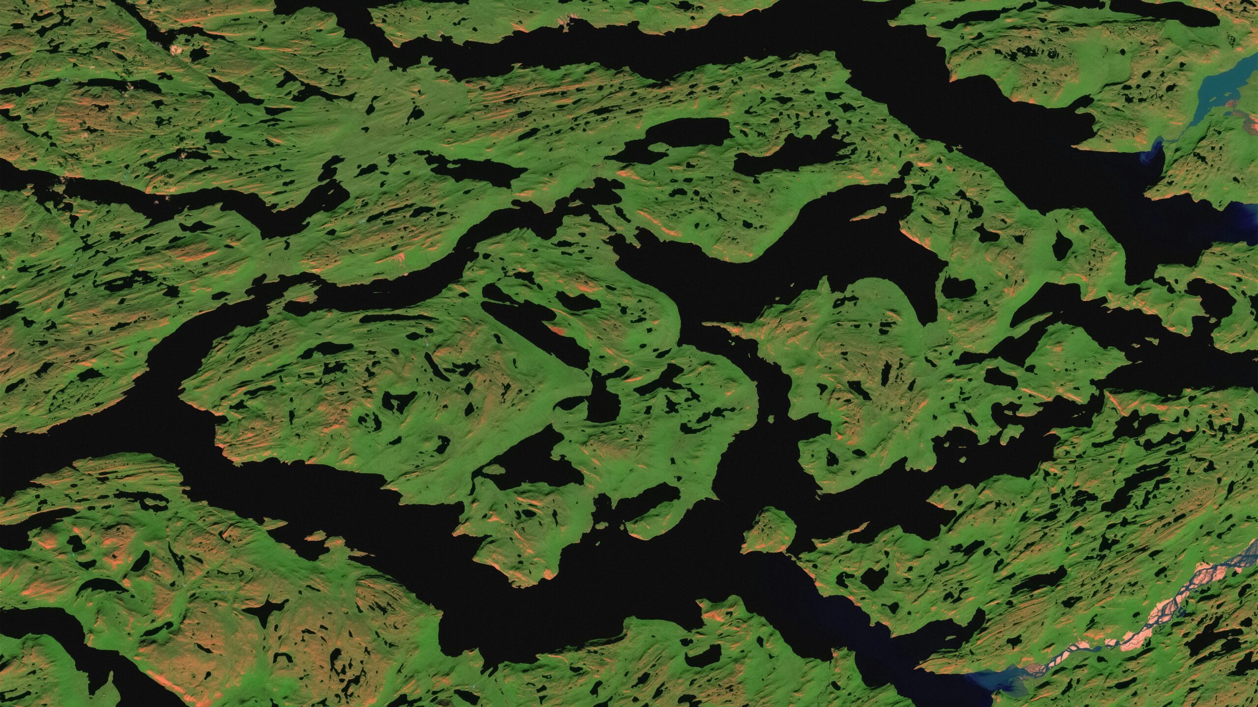
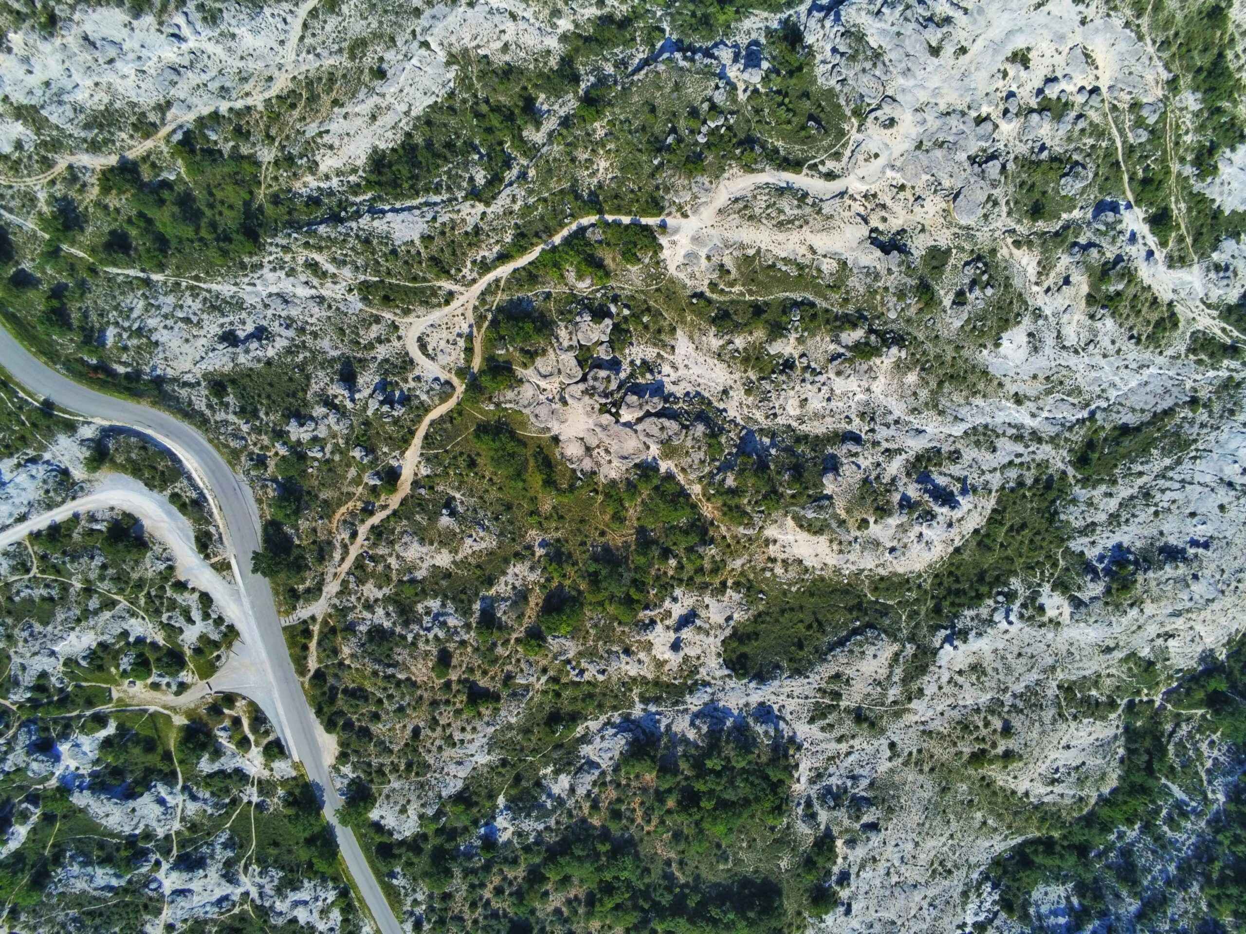
Line feature extraction tools are pivotal in object tracking, enabling the detection and analysis of linear elements like

Automatic point feature extraction tools detect discrete points-like objects, landmarks, or specific features-within datasets such as imagery, 3D

Line feature tools within remote sensing software detect and analyze linear elements like roads, pipelines, and boundaries, transforming
Point feature tools enable industries to locate, analyze, and utilize discrete spatial elements-such as buildings, vehicles, or environmental

Line feature extraction technology identifies linear elements-roads, pipelines, power lines, or boundaries-within complex datasets, enabling accurate mapping and
Automatic point feature extraction technology is reshaping industries by identifying discrete points-such as structures, assets, or environmental markers-within