
Reality Capture in Construction: Benefits, Challenges, and Best Practices
In construction, success often hinges on the smallest details. Missed measurements, outdated drawings, or poor communication can lead
In construction, success often hinges on the smallest details. Missed measurements, outdated drawings, or poor communication can lead

Esri ArcGIS Online is a powerful tool for mapping and spatial analysis, but it’s not the only option
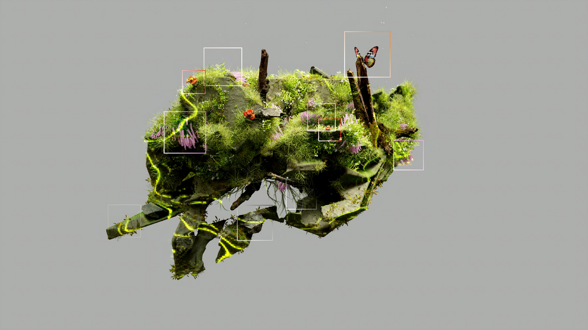
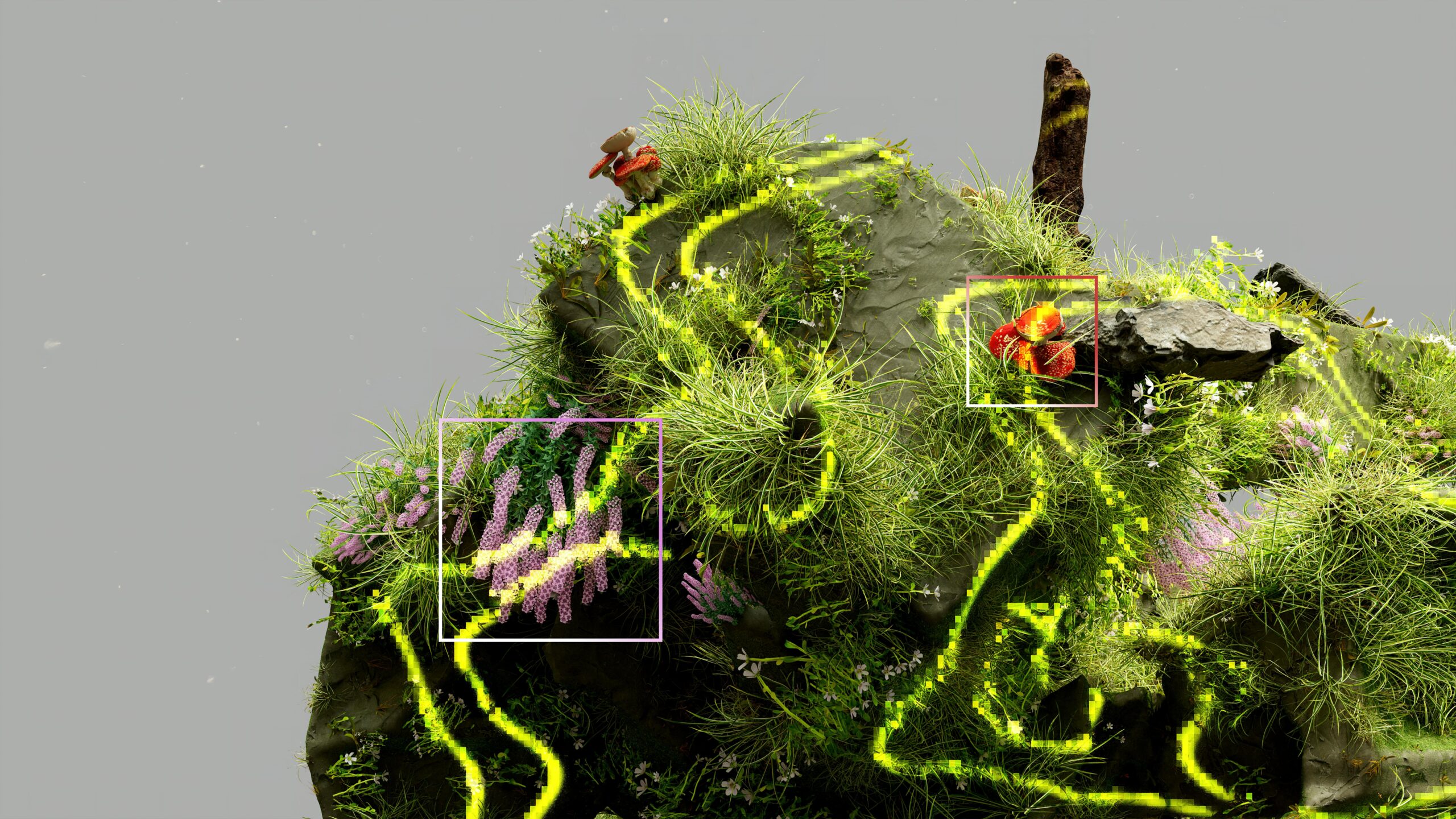
In today’s tech-driven world, advancements in 3D reality capture are reshaping how industries operate. From design and visualization
If you’re looking for alternatives to Trimble GPS Pathfinder, you’ve come to the right place. Whether you’re in
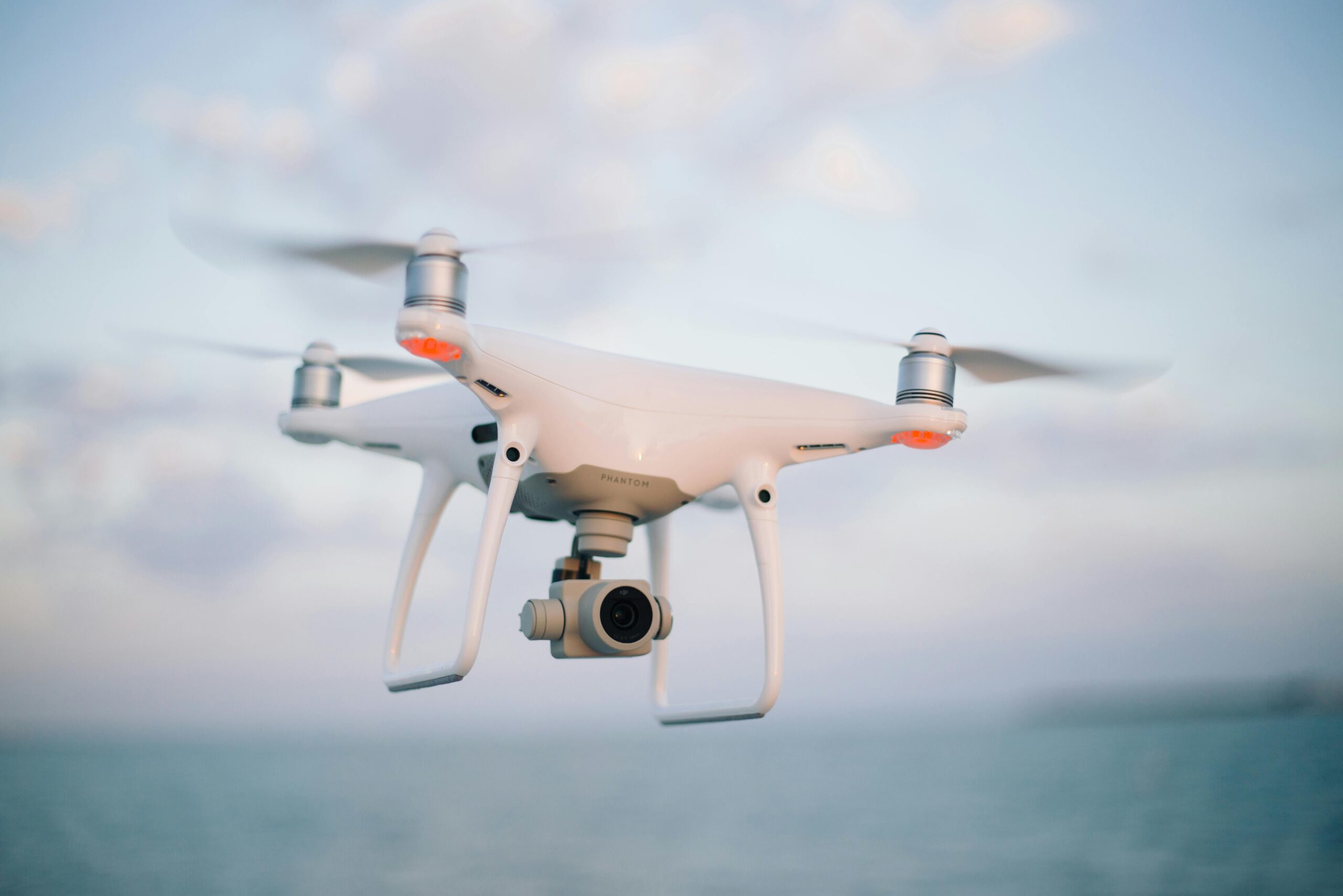
If you’re exploring options beyond Pix4DCloud for handling your drone data, you’re in the right place. Whether you’re

Reality capture is changing the way we approach design, construction, and asset management. By combining advanced technologies like
Reality capture technology is revolutionizing industries like construction, real estate, and manufacturing. With advanced 3D scanning and digital

Leica Infinity is a highly advanced geospatial software widely used for managing, processing, and analyzing surveying data with

Skydio Enterprise is a leading provider of autonomous drone technology for industrial inspections, mapping, and security. Known for