
WebODM Alternatives: Top Platforms for Drone Data Processing
If you’re looking for a WebODM alternative to process your drone imagery, you’re in the right place. Whether
If you’re looking for a WebODM alternative to process your drone imagery, you’re in the right place. Whether

Looking for alternatives to Iris Automation for your drone operations? Whether your focus is on collision avoidance, autonomous

If you’re managing a drone fleet, having the right platform to track, plan, and analyze your operations is

Maps Made Easy is a widely recognized tool for creating interactive maps and geospatial applications, trusted by businesses

GeoIQ has become a widely recognized tool in the field of data intelligence, providing businesses with powerful geographic

SpaceKnow is a leading provider of satellite-based analytics, offering powerful tools for deriving actionable insights from geospatial data.

TerraSync is a well-known software for GPS data collection and mapping, extensively used in surveying, fieldwork, and geospatial
MapInfo Pro is a widely used GIS software for geospatial analysis and mapping. However, numerous alternatives provide similar
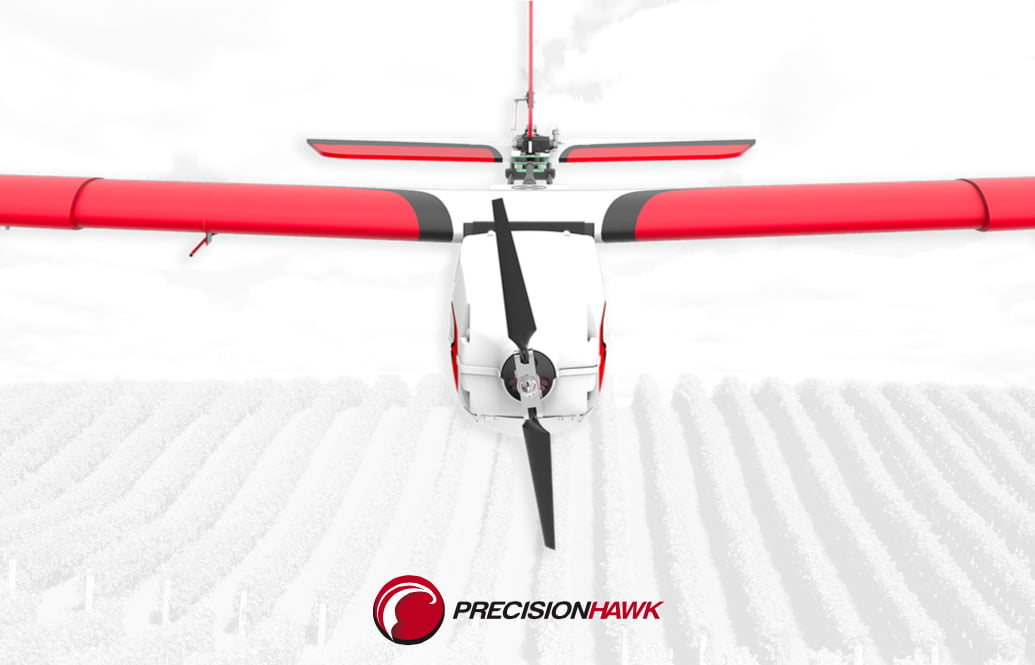
PrecisionHawk is a recognized provider in the field of drone-based aerial data collection and geospatial analysis, supporting industries