
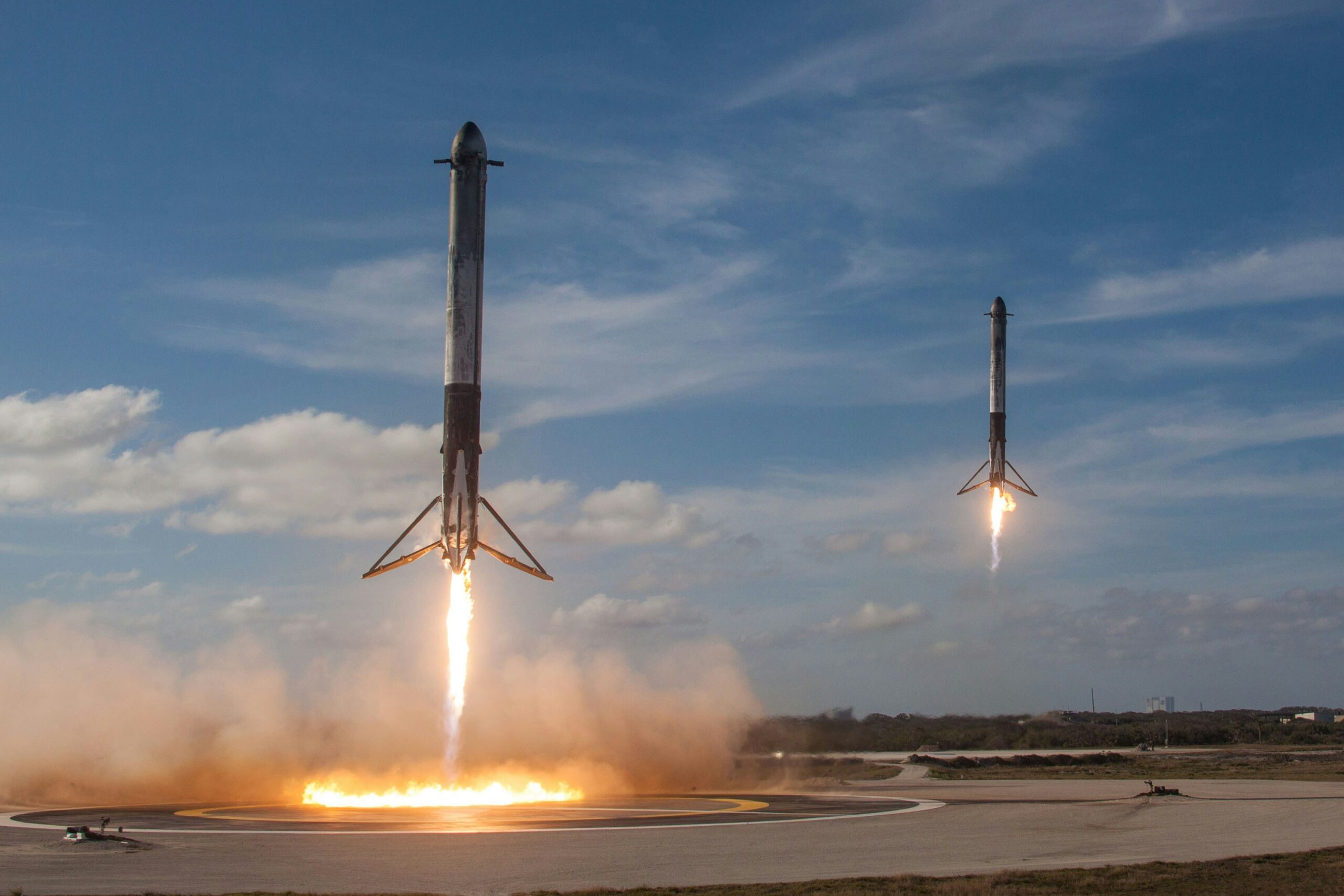
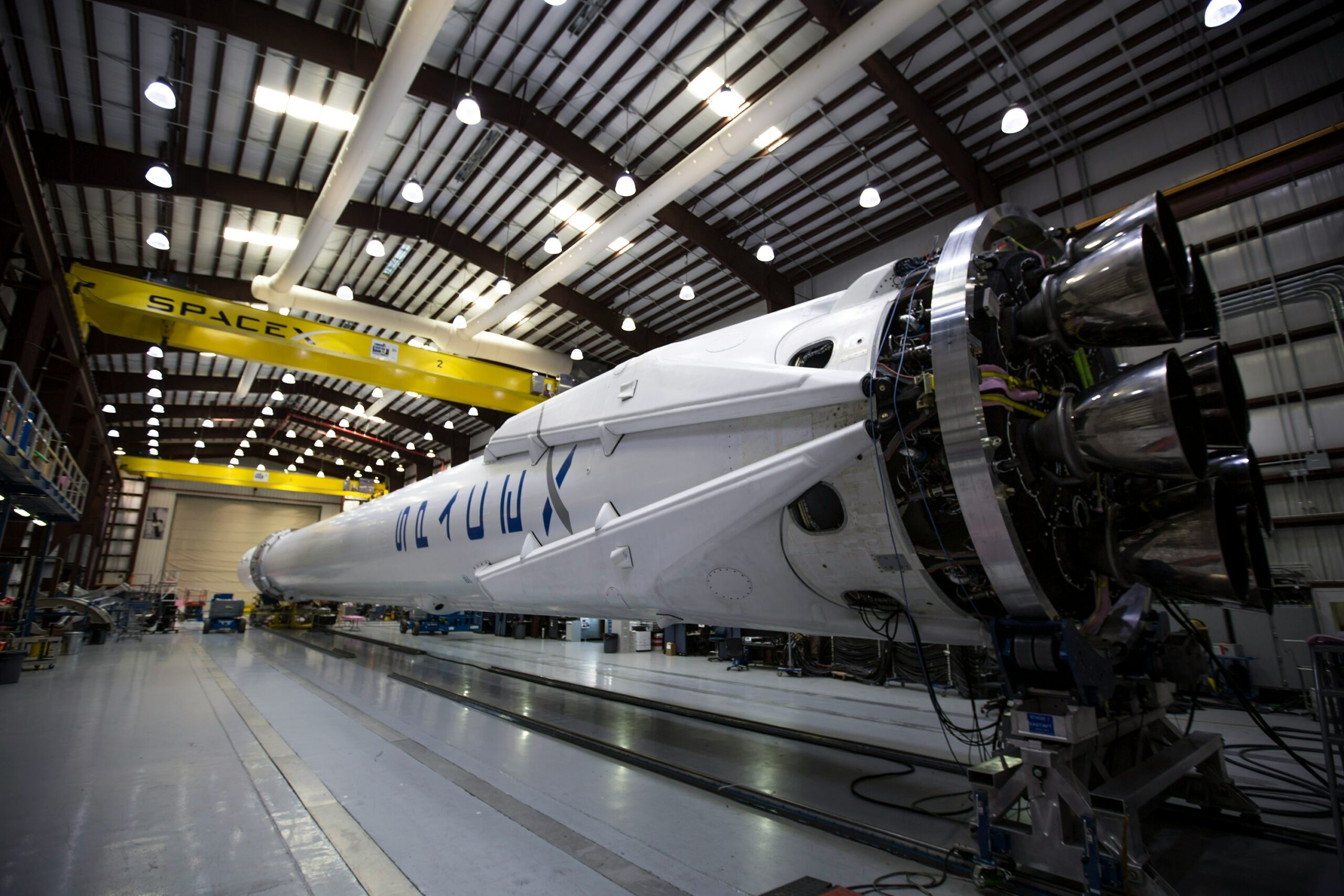
The Key Players in the Space Industry
The space industry is booming with companies at the forefront of innovation, pushing boundaries in exploration, technology, and
The space industry is booming with companies at the forefront of innovation, pushing boundaries in exploration, technology, and
Los Angeles has long been a hub for the aerospace industry, fostering innovation and groundbreaking advancements in space

San Diego is not only a coastal paradise but also a growing hub for the aerospace and space
As space exploration and satellite technology rapidly advance, the need for specialized insurance has become more critical than

Europe has emerged as a major player in the global aerospace industry, housing some of the most innovative

The concept of space habitats is no longer confined to science fiction. With advancements in technology and growing

The United States has long been at the forefront of space exploration, boasting a dynamic ecosystem of private

The universe has always sparked curiosity and ambition, inspiring humanity to reach for the stars. While NASA has

Colorado is at the forefront of the space industry, housing some of the most innovative companies shaping the