Geospatial Intelligence Software and AI Tools
Geospatial intelligence (GEOINT) software and AI tools are changing the way we understand and interact with the world.
Geospatial intelligence (GEOINT) software and AI tools are changing the way we understand and interact with the world.

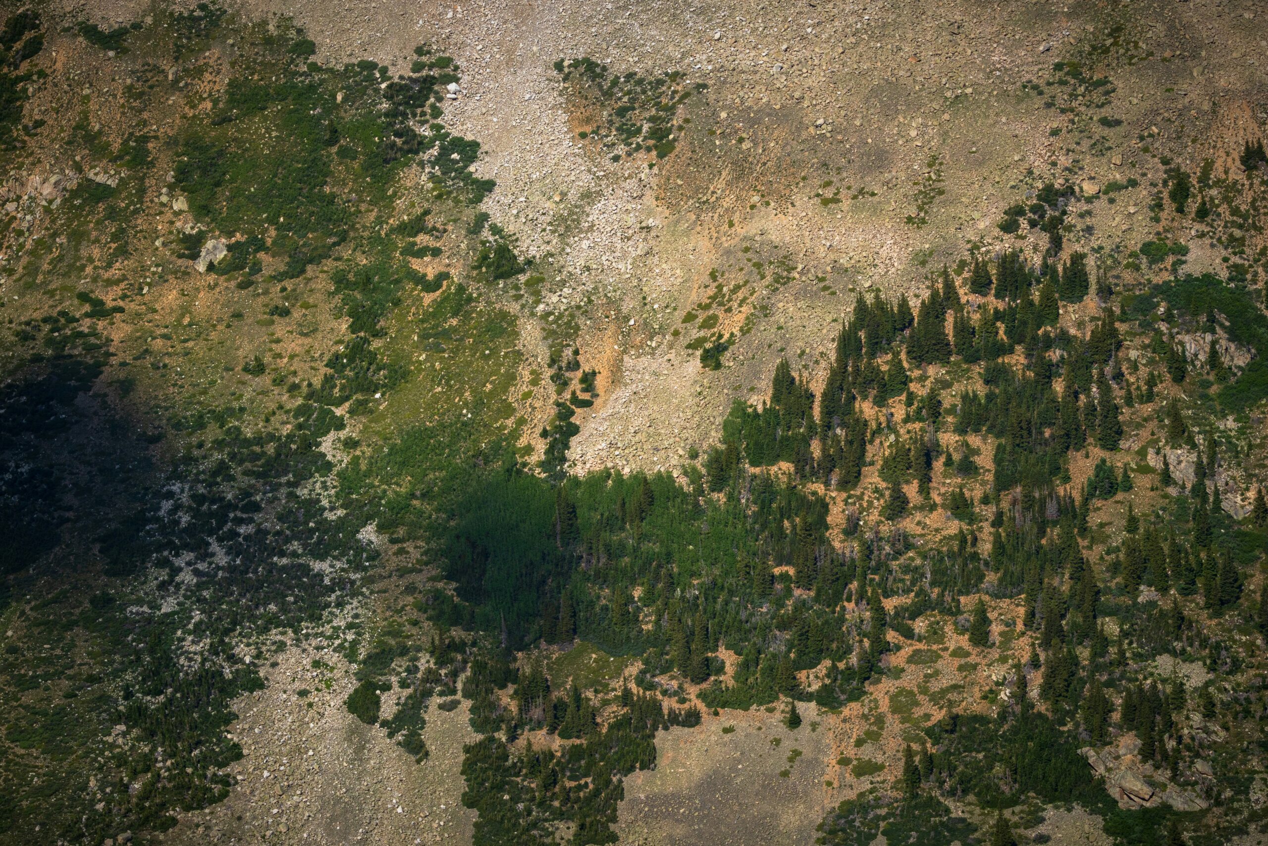
Geospatial data visualization is all about transforming raw geographic data into interactive maps and visual representations. These tools

Geospatial visualization software and AI tools help us make sense of data that has a location component. Whether

In today’s world, businesses and organizations are increasingly focused on reducing their environmental footprint. To make that happen,
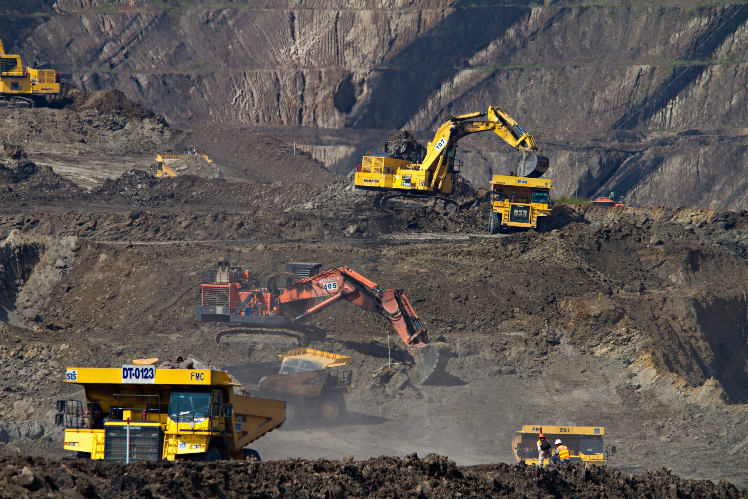
Mining today isn’t just about digging up rocks—it’s about using smart technology to make operations smoother, safer, and

In today’s world, farming isn’t just about the soil and seeds; it’s about data, too. With crop monitoring

Ever wonder how you can keep tabs on things in real-time without all the hassle? That’s where object
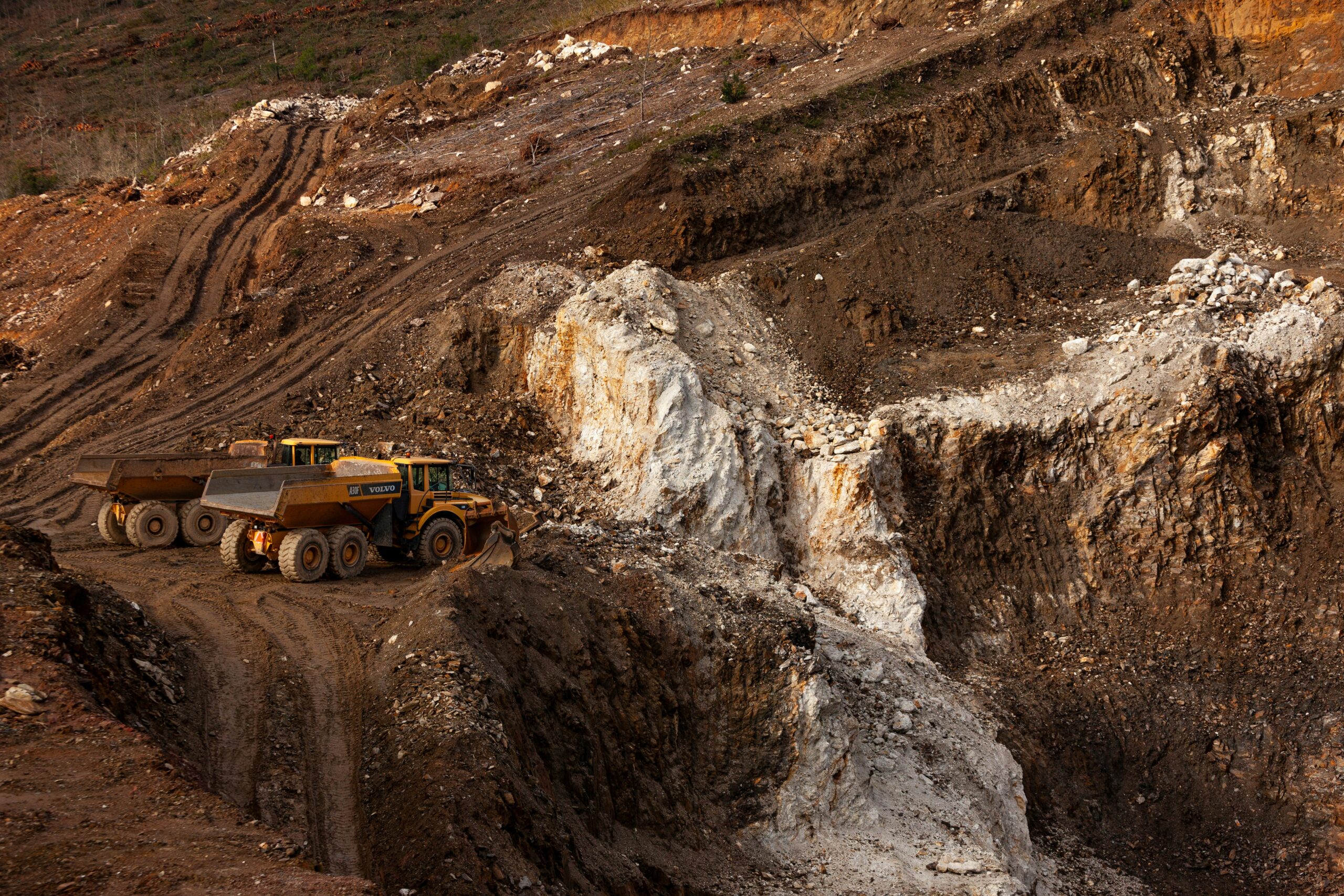
Mining inspections are crucial, but they don’t have to be complicated. Today, there are powerful software tools and

Drone survey software is transforming the way we map and monitor land. With advanced tools and AI integration,