Top Precision Farming Software, Tools & AI Solutions
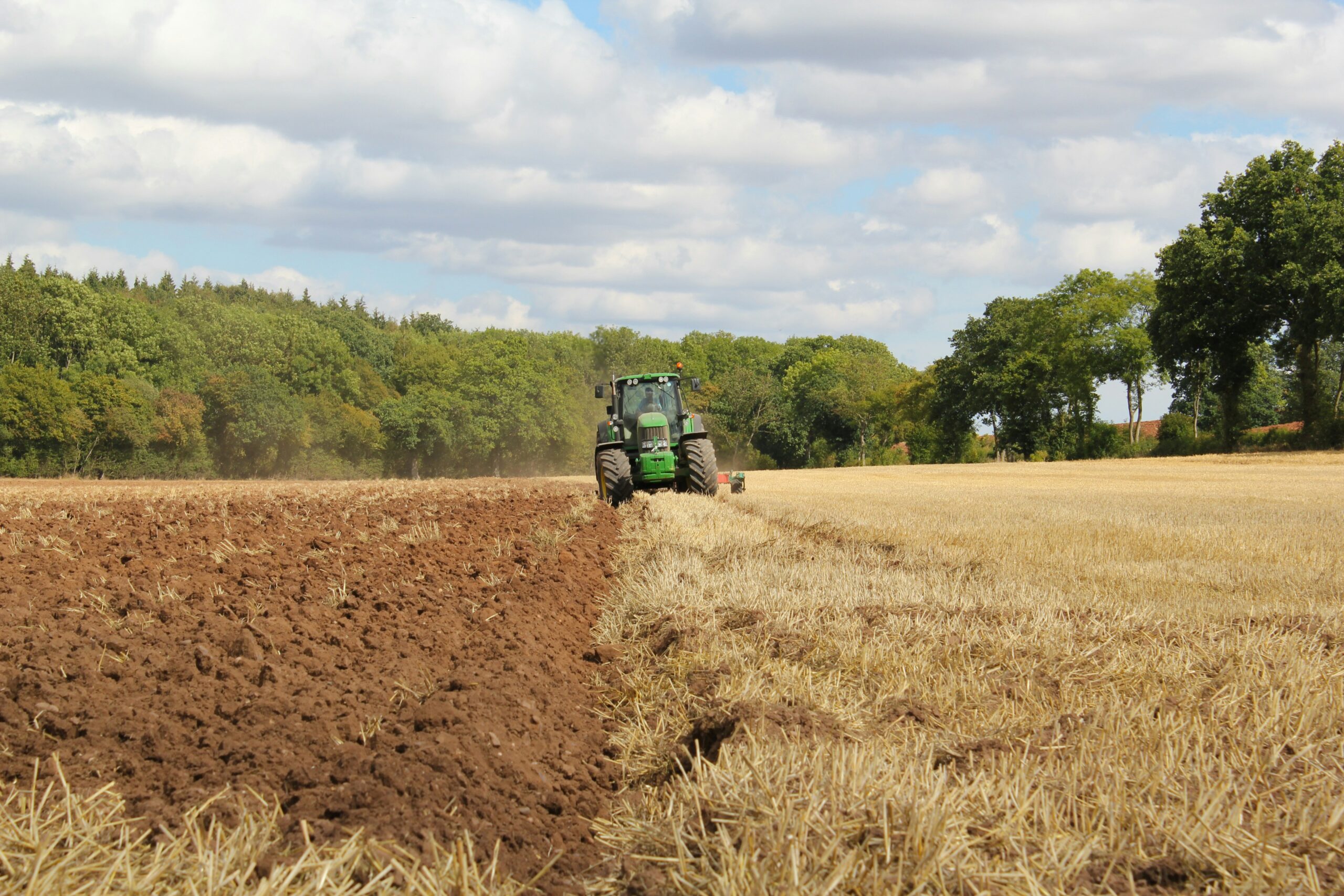
Farming isn’t just about hard work anymore—it’s about smart work. With precision farming software and AI-driven tools, farmers
Farming isn’t just about hard work anymore—it’s about smart work. With precision farming software and AI-driven tools, farmers

AI image recognition software tools are changing the way we interact with images. These tools can identify objects,

Managing forests effectively requires accurate data, and tree counting plays a crucial role in this process. Traditional methods

Drone technology is revolutionizing roof inspections by providing safe, efficient, and highly accurate assessments of residential and commercial

Geospatial modeling is all about analyzing and interpreting data tied to specific locations. It’s a powerful tool for

Aerial surveying has become increasingly sophisticated, thanks to advancements in software, tools, and AI technologies. Whether you’re managing

Industrial drones are reshaping how businesses manage operations, from inspecting infrastructure to monitoring large-scale projects. In the USA,

Satellite imagery software and AI tools have revolutionized how we analyze and interpret data from space. These technologies

Satellite image processing has become an essential part of many industries, from environmental monitoring to urban planning. With