AI-Powered Tools for Infrastructure Inspection
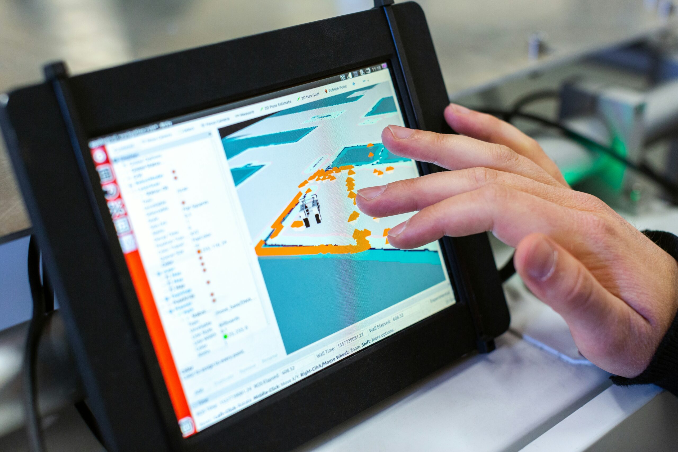
When it comes to keeping our infrastructure safe and sound, traditional methods of inspection can be slow and
When it comes to keeping our infrastructure safe and sound, traditional methods of inspection can be slow and

Aerial recognition software, driven by AI, is changing the game for various industries that rely on analyzing images

When it comes to working with images, whether for editing, analysis, or automation, having the right software and
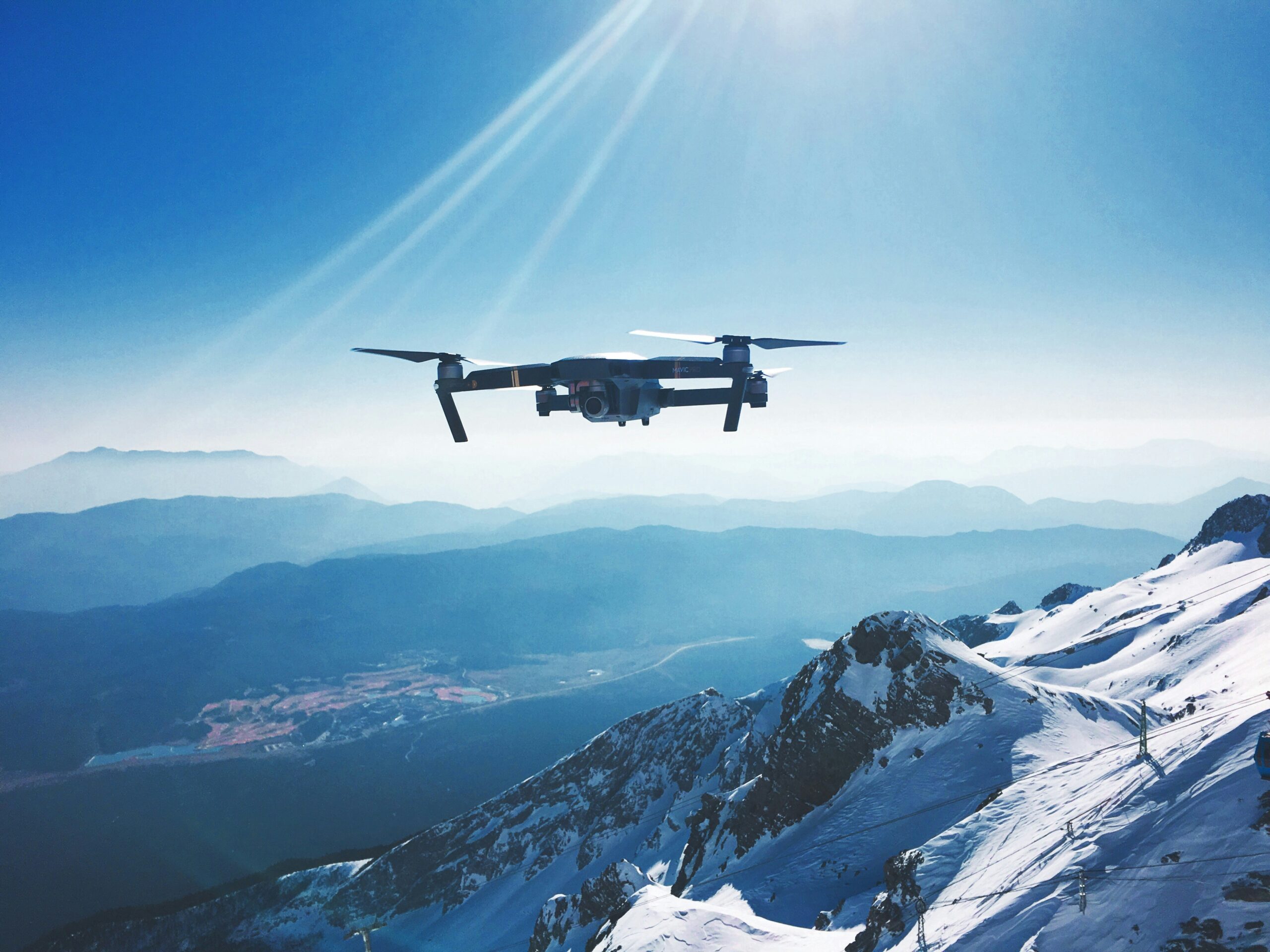
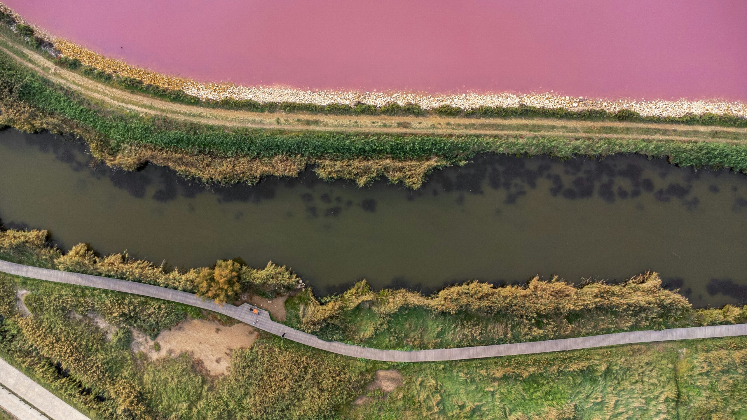
In the world of surveying and mapping, UAV (Unmanned Aerial Vehicle) technology has become a game-changer. With advancements
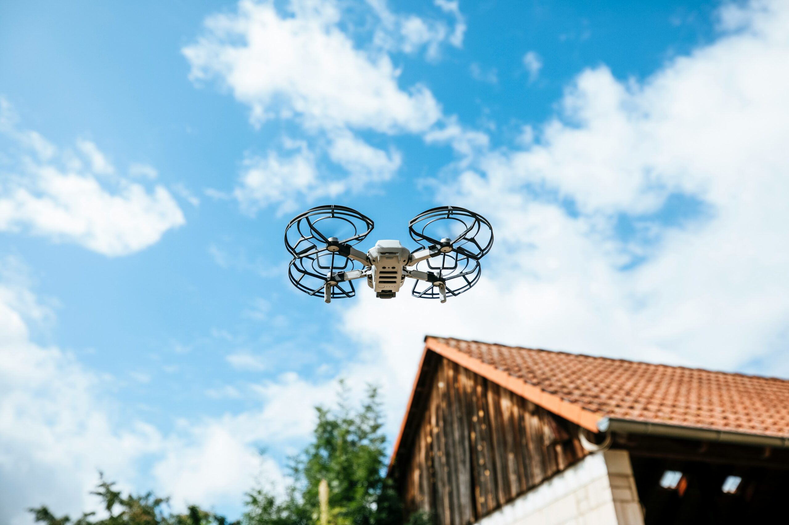
Drone technology has rapidly evolved, becoming a valuable asset across various industries. Whether you’re mapping landscapes, inspecting infrastructure,

Geospatial analytics software and AI tools are essential for understanding and visualizing geographic data. Whether you’re mapping out
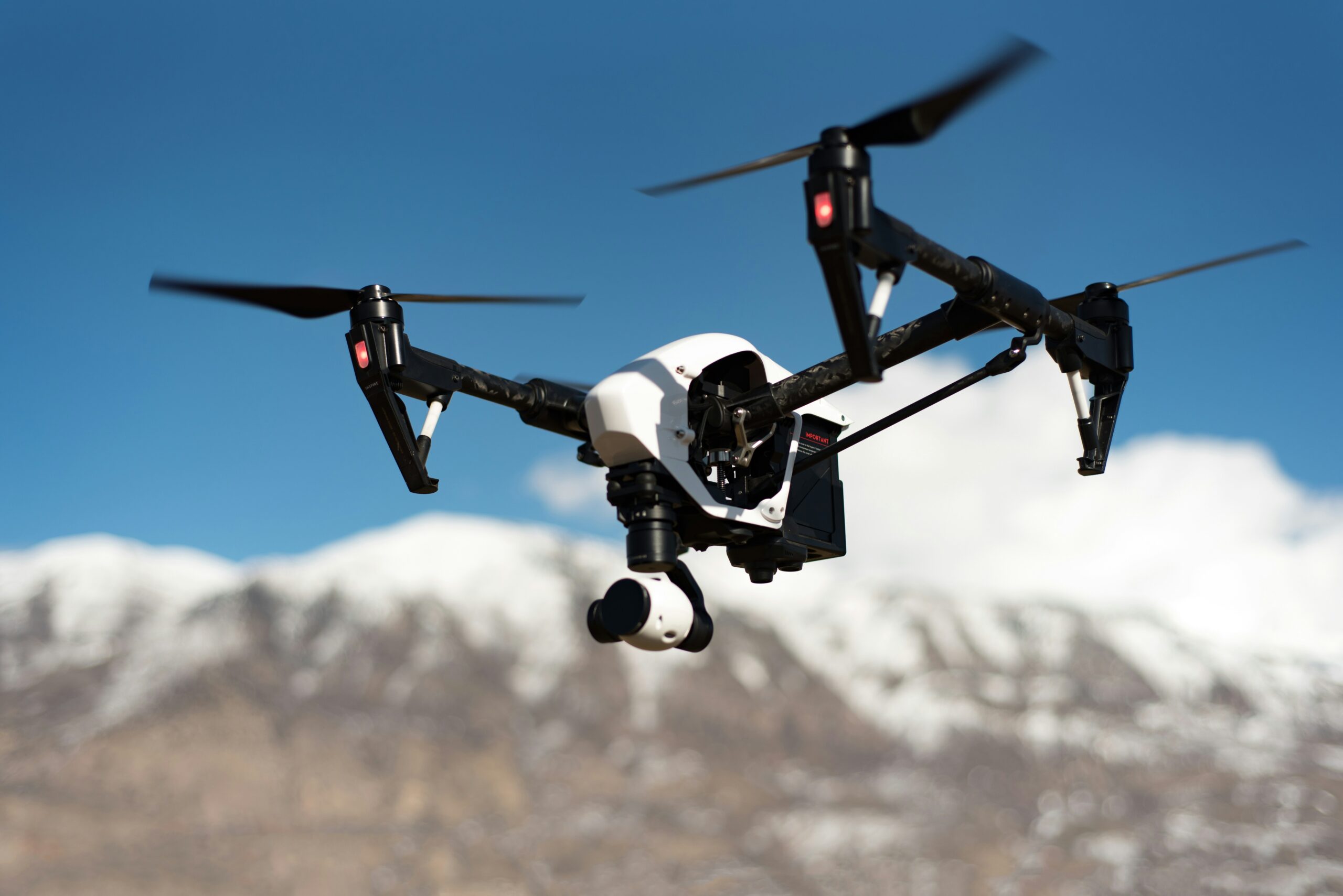
Drone technology has taken off in recent years, but capturing aerial footage is just the beginning. To really
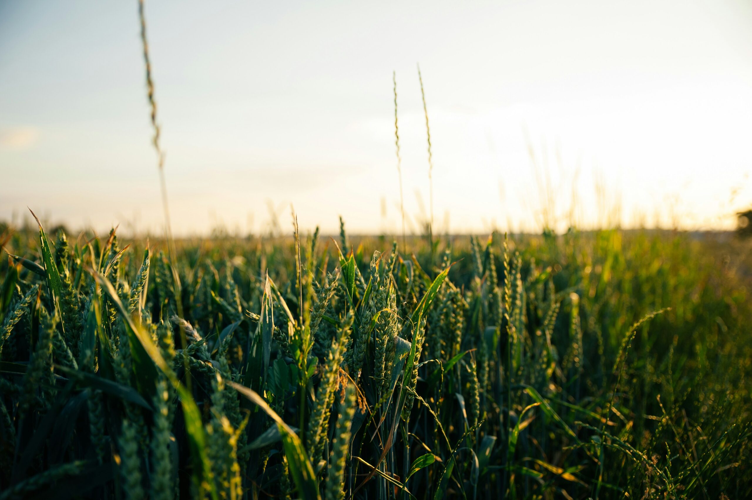
Field mapping software and AI tools are becoming essential in many industries, from agriculture to urban planning. These
Drone photography and videography are becoming more common, but raw footage often needs a bit of work before