
The Ultimate Guide to Geospatial Analysis Software and AI Tools
Navigating the world of geospatial analysis can feel like stepping into a different dimension—where maps come alive with
Navigating the world of geospatial analysis can feel like stepping into a different dimension—where maps come alive with
Remote sensing has become a crucial part of understanding our world, from monitoring environmental changes to aiding in
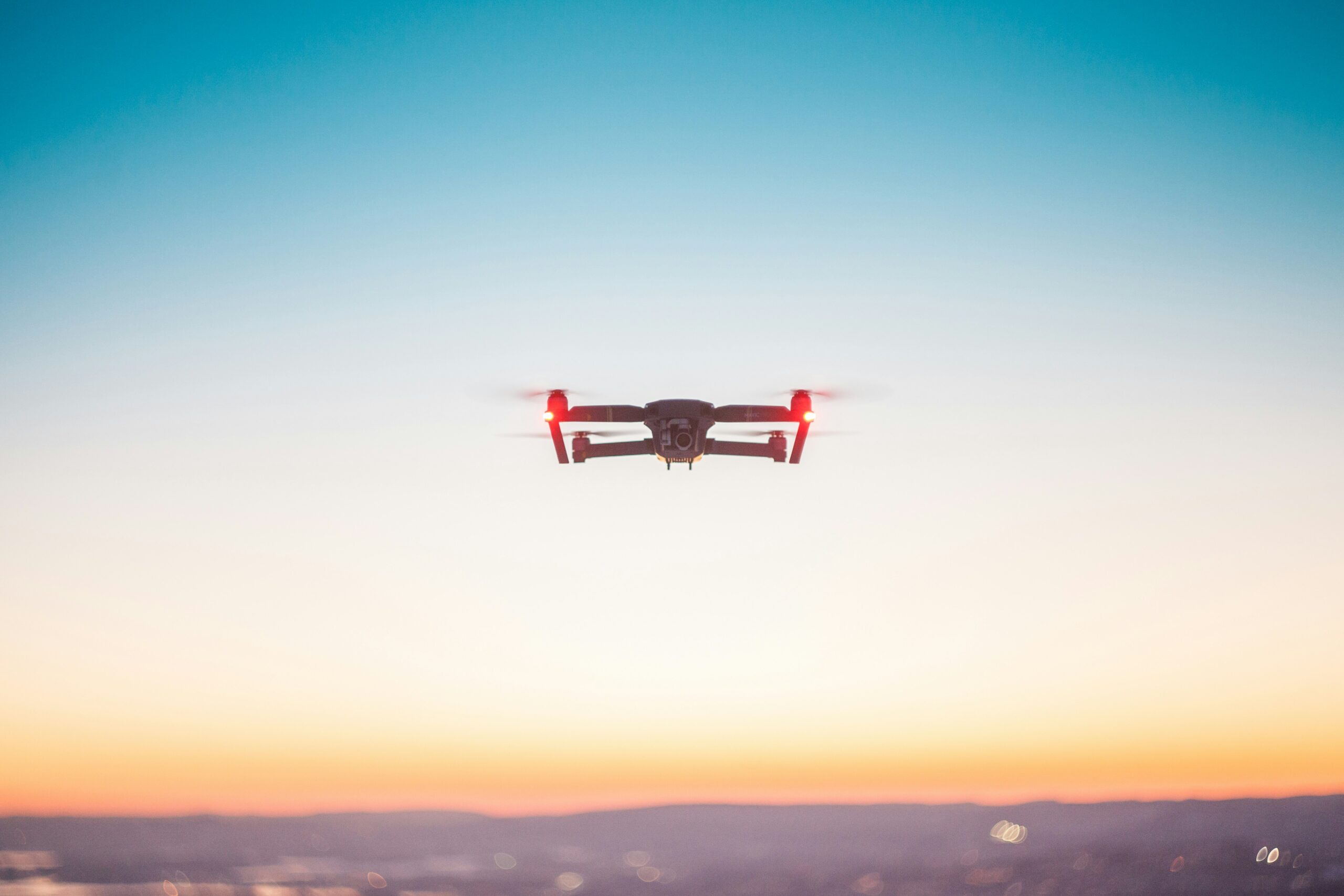
Drone technology is revolutionizing the inspection industry, providing efficient, safe, and cost-effective solutions for monitoring and maintaining infrastructure.

In the world of land surveying, technology is making a big impact. Traditional methods are being complemented, and

Ever wonder how those maps on your phone know exactly where you are or how cities plan out

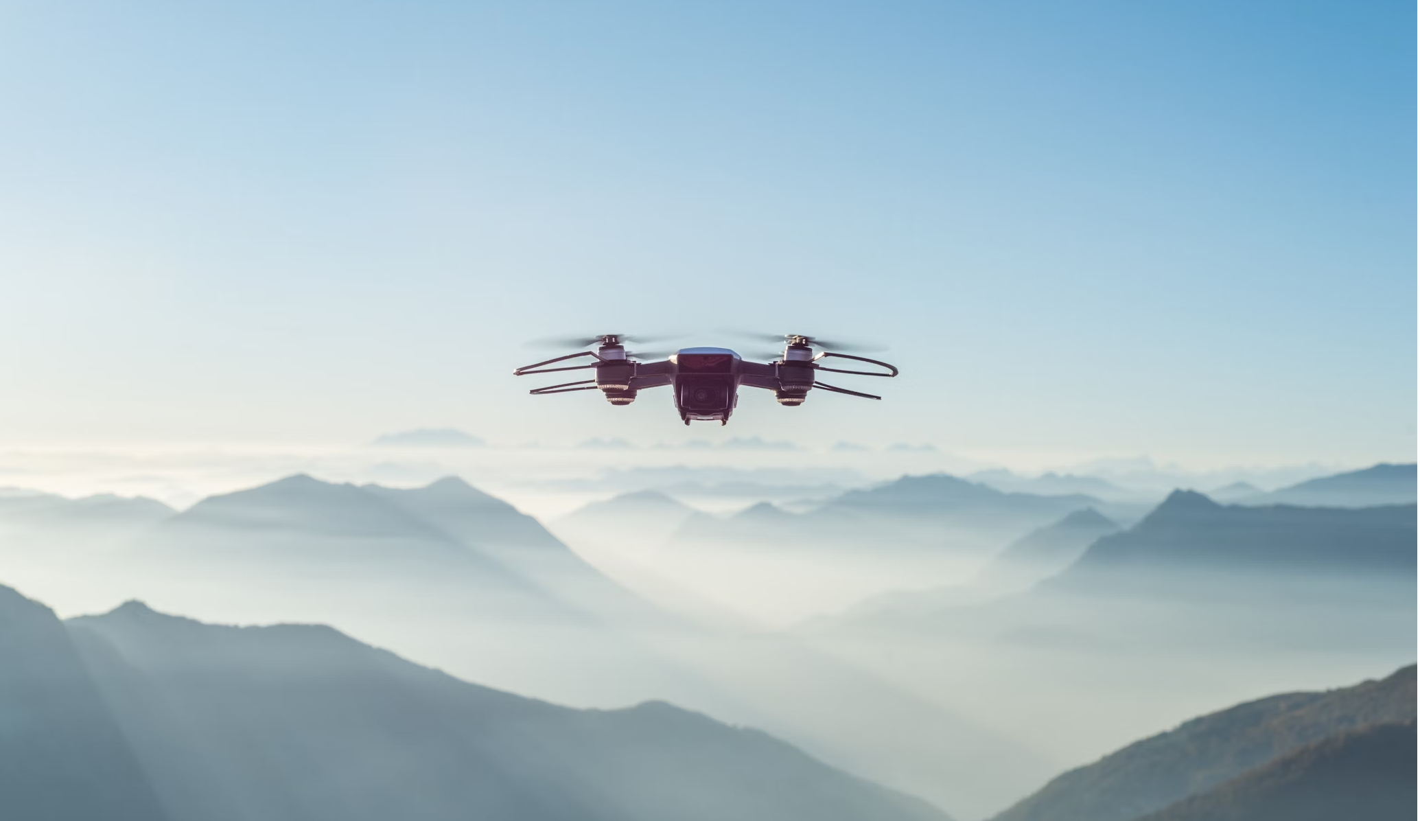
Drone mapping has come a long way in recent years. With the rise of sophisticated software, specialized tools,

France is a hub of innovation and technological advancement, particularly in the field of artificial intelligence (AI) and

Object detection technology has become a crucial component in various industries, from security and surveillance to automation and

Object detection technology has become a pivotal component in various industries, ranging from security and surveillance to manufacturing