Best Geospatial Data Visualization Tools for Real Insights
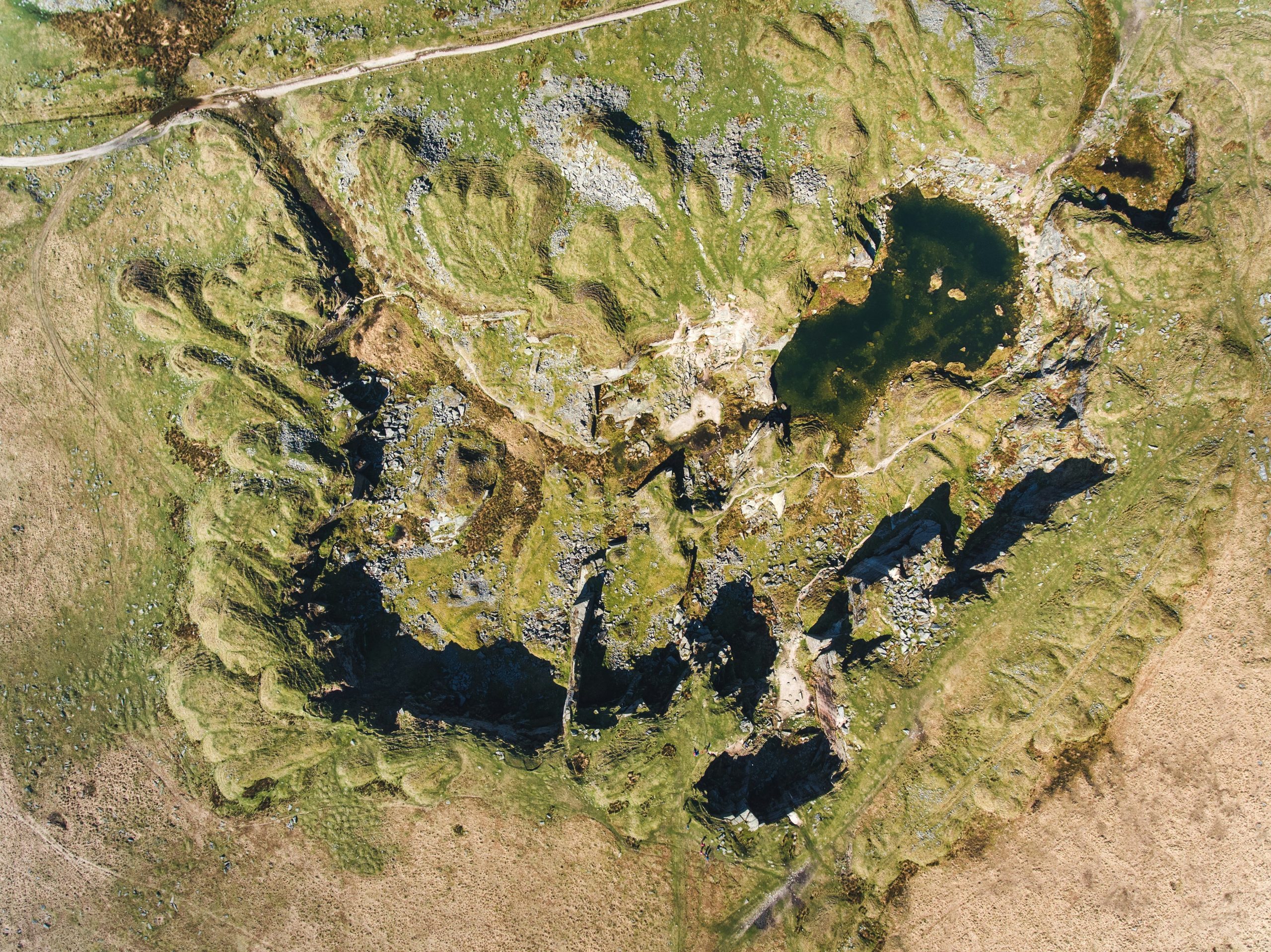
Let’s be honest, raw location data doesn’t really tell you much at first glance. It’s messy, hard to
Let’s be honest, raw location data doesn’t really tell you much at first glance. It’s messy, hard to
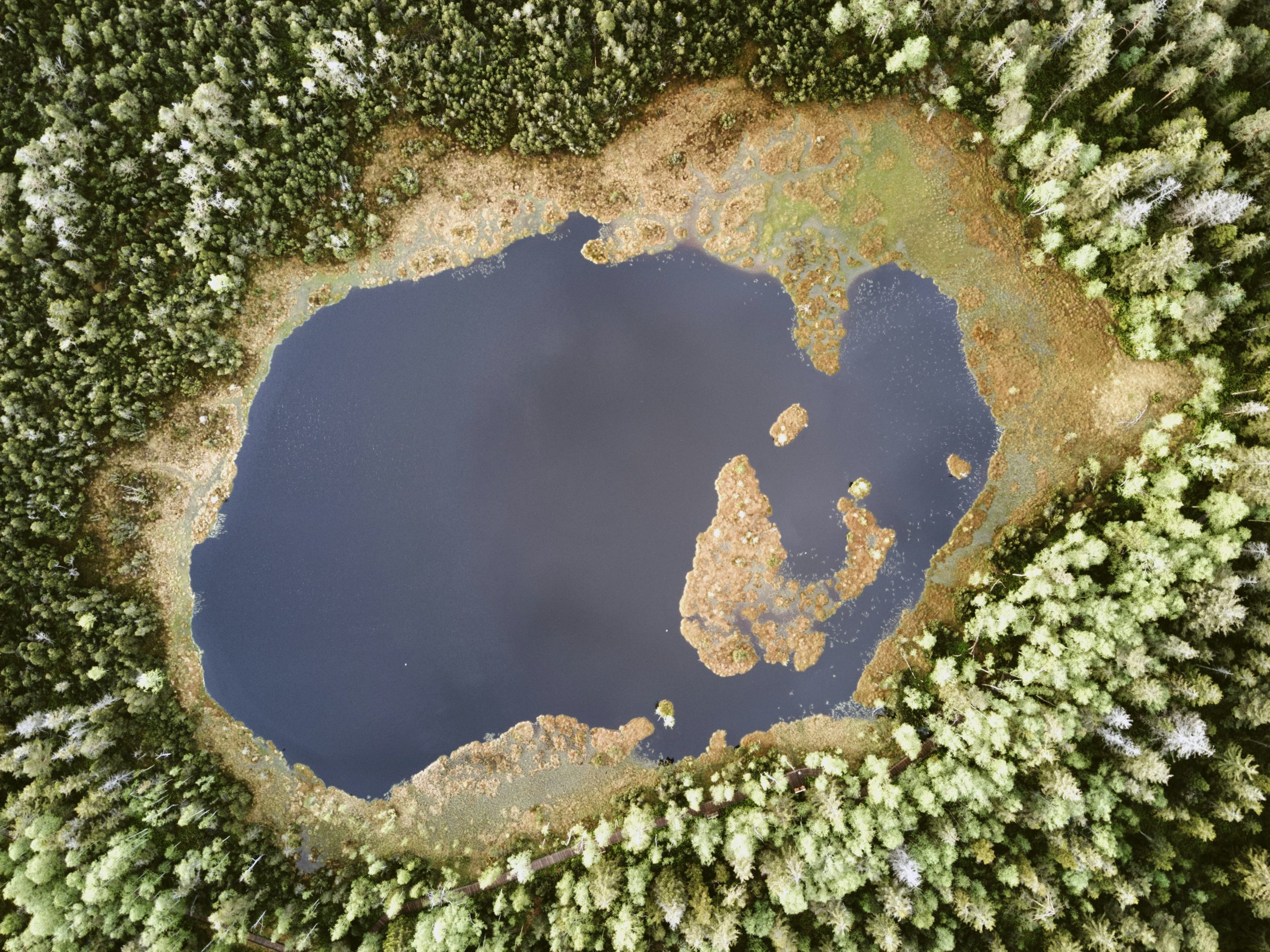
Integrating geospatial data is a critical step for industries like agriculture, urban planning, and environmental management. Whether it’s
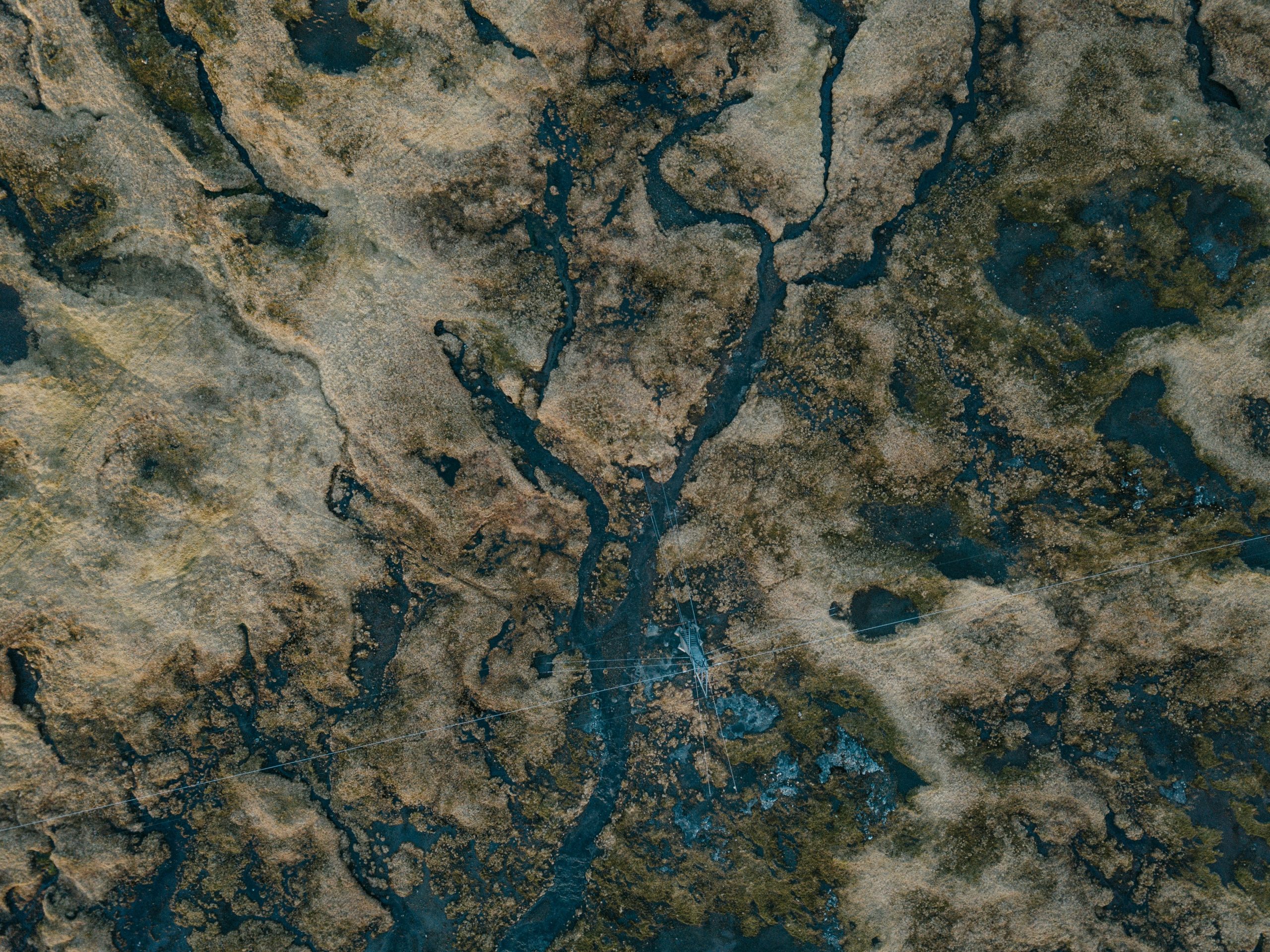
Understanding location data isn’t just for maps anymore. Whether you’re managing farmland, designing smarter cities, or keeping track
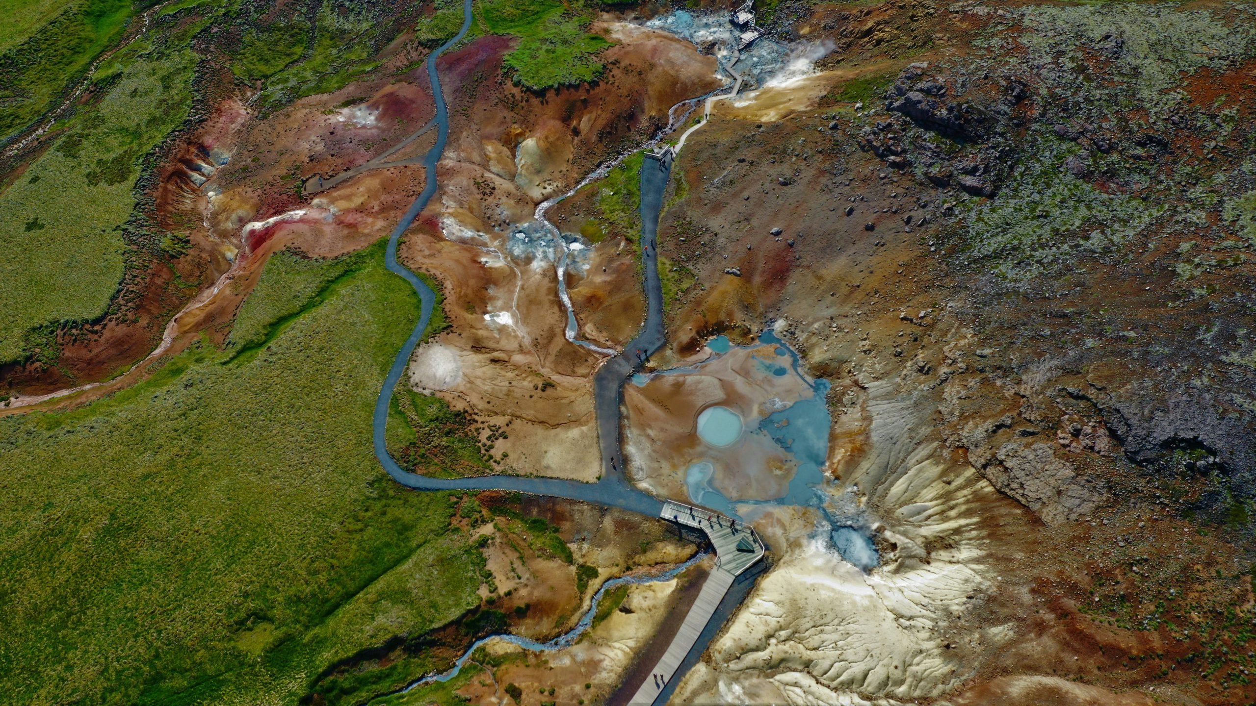
Understanding geospatial data has become essential across industries, from tracking environmental changes to guiding smarter urban development. Whether

Machine learning has come a long way, but even the most advanced models are only as good as

Image annotation plays a crucial role in training machine learning models, especially for tasks related to computer vision.

Image annotation plays a pivotal role in machine learning, computer vision, and AI projects. Whether you’re labeling images

When working on machine learning or AI projects, properly labeled images are crucial for training effective models. But

When diving into machine learning or AI projects, one of the most time-consuming yet essential tasks is data