Slope Stability Monitoring Tools: Smarter Ways to Watch the Ground
If you’ve ever seen a landslide – or even just photos of one – you know how quickly
If you’ve ever seen a landslide – or even just photos of one – you know how quickly
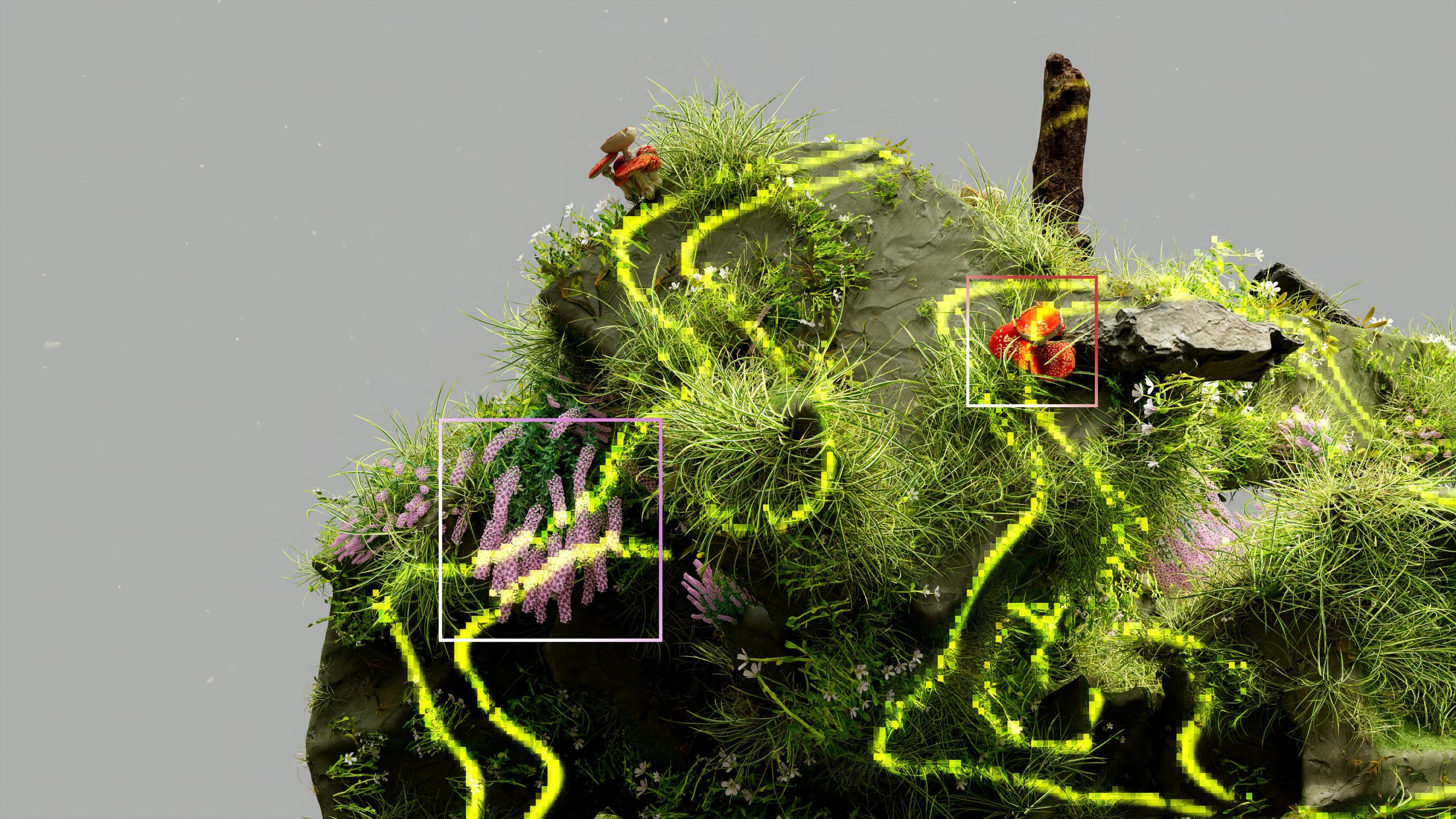
Ok, so terrain modeling isn’t just for geoscientists anymore. Whether you’re working in civil engineering, game design, urban
Thermal imaging from space sounds like sci-fi, but it’s very real (and very useful). Whether you’re tracking wildfires,
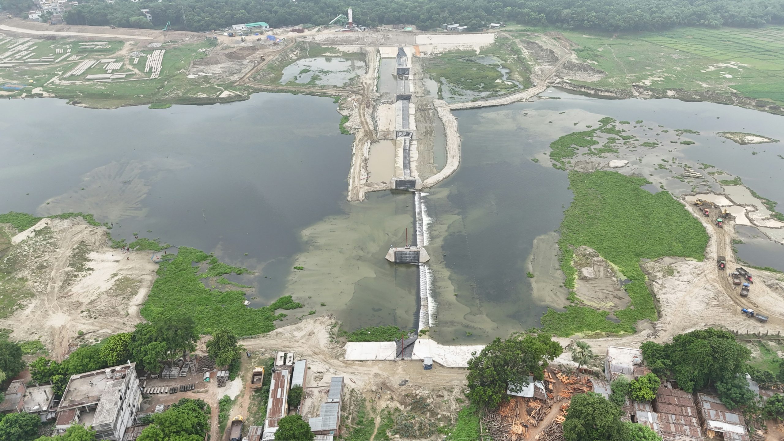
Tailings dams don’t usually make the news – until something goes wrong. That’s why keeping tabs on them
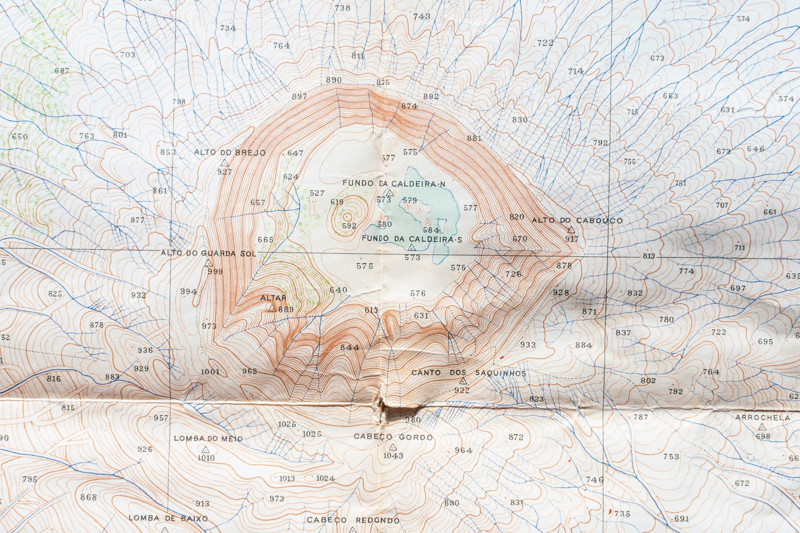
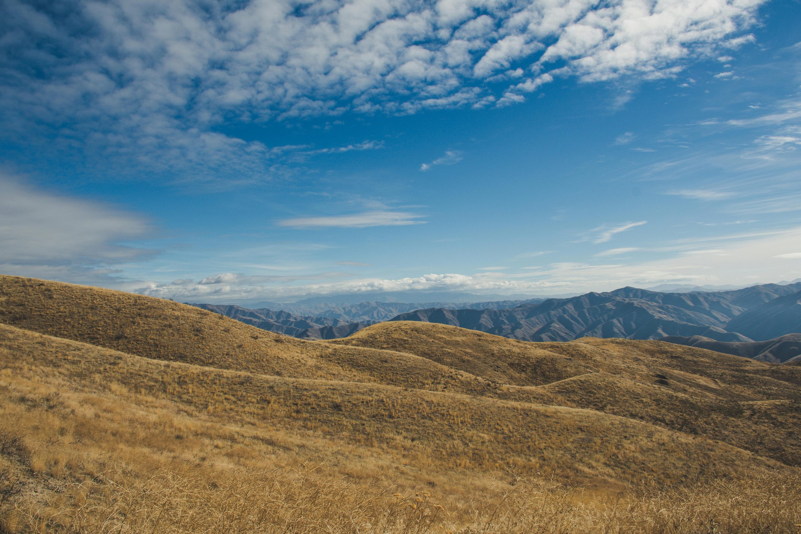
Topography is the quiet backbone of spatial intelligence. Mapping landforms, gradients, and surface changes used to take weeks

3D surface modeling turns visual data into measurable form. From topographic scans to aerial imagery, it builds the

Exploration geophysics tools form the backbone of modern subsurface studies. From seismic sensors that capture ground vibrations to
Mineral exploration isn’t glamorous; it’s long days, spotty signals, and mountains of data that need wrangling. But with

Hydrological mapping tools are a game-changer for anyone trying to figure out how water moves through landscapes. Whether