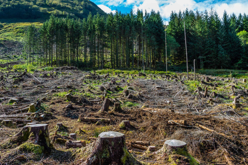
In recent times, the world has witnessed an increased focus on addressing the alarming rate of deforestation and forest degradation. Most recently, the European Parliament, has adopted the EU Deforestation Regulation (EUDR), a law aimed at curbing deforestation-associated products entering the European Union (EU).
The EUDR: A Paradigm Shift
The EU Deforestation Regulation is a piece of legislation that aims to put a halt to the import of commodities linked with deforestation into the European Union (EU). This regulation casts a wide net over various commodities associated with deforestation and forest degradation across the globe.
While the EUDR marks a crucial step towards combatting deforestation and ensuring sustainable trade practices, the effective implementation and enforcement of this law requires technology capable of monitoring and analyzing land-use changes. Geospatial AI stands out as a promising solution in this effort.
Leveraging Geospatial AI for Compliance
Geospatial Artificial Intelligence (AI) amalgamates geospatial data and advanced machine learning algorithms to provide insights regarding geographical phenomena. This technology has the capacity to analyze extensive quantities of satellite and drone imagery to detect patterns, trends, and potential risks. Moreover it plays a pivotal role in ensuring compliance with the EU Deforestation Regulation. Here’s how:
Identifying High-Risk Areas: Geospatial AI can swiftly identify regions with substantial deforestation or forest degradation. Using AI to analyze satellite imagery and remote sensing data can highlight areas that require immediate attention, allowing authorities to focus their efforts efficiently.
Land-Use Change Detection: The dynamic nature of land-use changes demands real-time monitoring. Geospatial AI excels in detecting changes in vegetation cover, land clearance, and forest fragmentation. By providing accurate and timely insights, it aids in preventing non-compliance and enforcing the EUDR.
Supporting Reforestation and Conservation: Geospatial AI assists not only in identifying deforestation but also in guiding reforestation and conservation initiatives. It can help identify suitable areas for reforestation, track the progress of such projects, and assess their impact over time.
FlyPix AI: Leading the Geospatial AI Revolution
With the ongoing threat of worldwide deforestation endangering biodiversity, the EU Deforestation Regulation signifies a pivotal advancement in tackling this issue. Geospatial AI’s capabilities, exemplified through diverse applications, have the capacity to transform the global approach to monitoring, enforcing, and mitigating deforestation.
Prominent players in geospatial AI field, such as FlyPix AI, are at the forefront of this transformative journey. By harnessing these advancements, governments, non-governmental organizations (NGOs), and businesses can enforce the implementation of the recent regulation and catalyze sustainable transformations.


