Natural disasters like hurricanes, wildfires, and earthquakes can strike at any time, causing widespread damage and disruption to communities. In such situations, rapid and effective disaster response is crucial to mitigate the impact on people and infrastructure. This is where Flypix.ai can play a vital role. In this blog post, we will explore the benefits of using Flypix.ai for disaster management and response.
Damage Assessment and Restoration
After a natural disaster strikes, one of the biggest challenges for emergency responders is assessing the extent of the damage to infrastructure and property quickly and accurately to guide support restoration efforts. With FlyPix AI, high-resolution aerial images can be captured and analyzed to provide a comprehensive view of the disaster-affected areas and the location of critical infrastructure such as power lines and pipelines, and areas that require immediate attention. This can help emergency responders prioritize their response efforts and allocate resources more effectively.
Identifying Hazards
During a disaster response, emergency responders must navigate hazardous terrain and structures to save lives and protect property. FlyPix AI can be used to analyze aerial imagery to detect and identify hazards, such as downed power lines or unstable structures, and provide a comprehensive view of disaster-affected areas, allowing emergency responders to avoid potential dangers and move more safely and quickly.
Monitoring and Mitigating Environmental Impacts
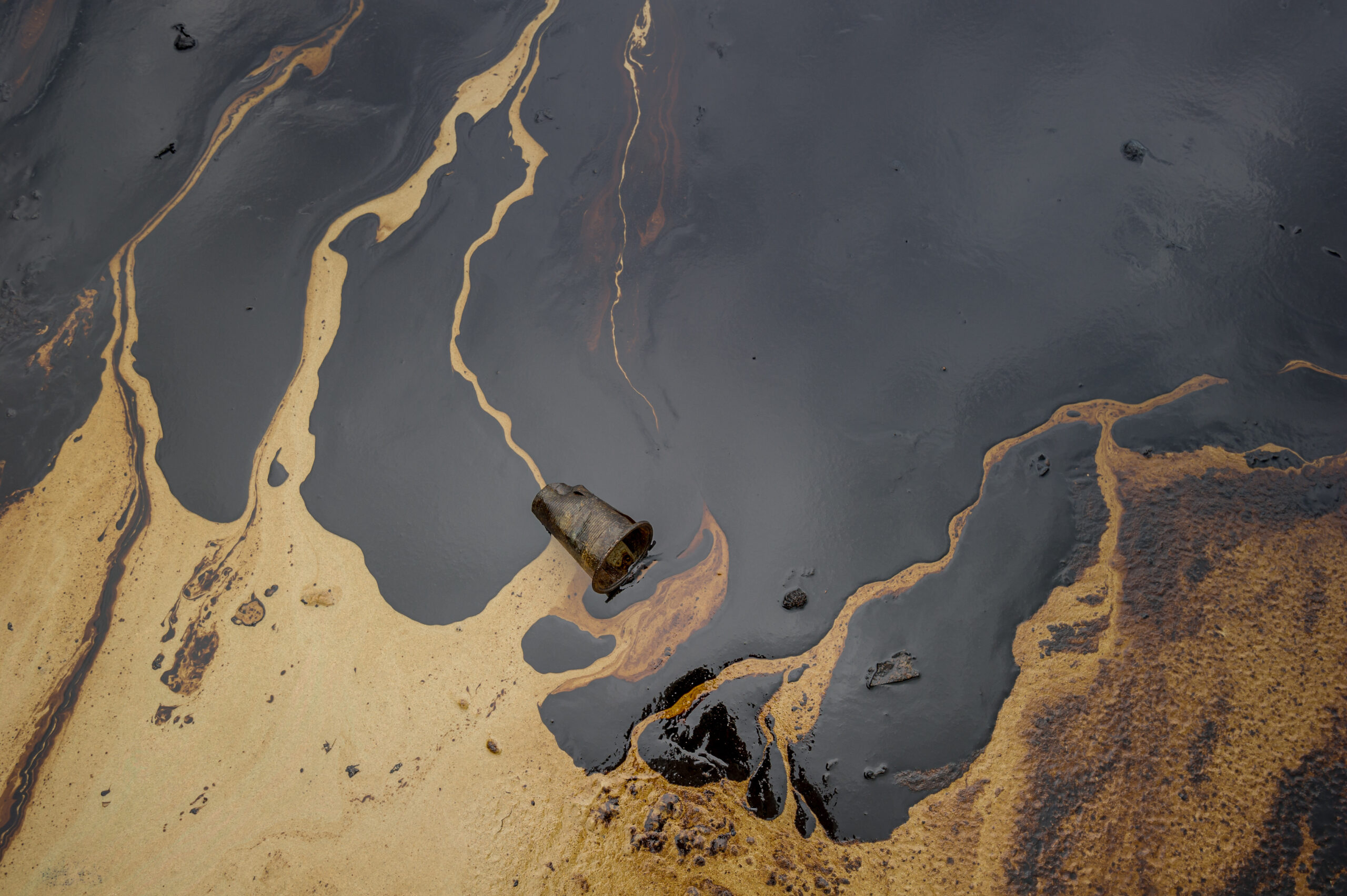
Natural disasters can have significant environmental impacts, such as soil erosion, water pollution, and deforestation. FlyPix AI can be used to monitor and help mitigate these impacts by analyzing high-resolution aerial images and detecting changes in the landscape over time. With this information, environmental experts can develop mitigation strategies to protect ecosystems, prevent further damage, and promote long-term sustainability.
Planning and Resource Allocation
Before a natural disaster strikes, FlyPix AI can be used to identify high-risk areas and develop emergency response plans in advance. FlyPix AI can analyze aerial images to provide a comprehensive view of the terrain and infrastructure, enabling emergency responders to identify potential risks and develop effective response plans. Additionally, with FlyPix AI, resources can be allocated more efficiently, ensuring that emergency responders have the right tools and equipment to carry out their operations.
Conclusion
FlyPix AI offers a range of benefits for disaster management and response. Its ability to capture and analyze aerial images in real-time can significantly enhance disaster response efforts, from rapid damage assessment to identifying hazards, and search and rescue operations. By integrating FlyPix AI into their operations, emergency responders can improve their response times, save more lives, and protect property more effectively.
If you’re interested in learning more about FlyPix AI and how it can benefit your disaster response or environmental management efforts, contact us today.


