OpenClaw vs Claude Code: A Simple Comparison in 2026
Claude Code and OpenClaw are two popular AI tools that help people get things done automatically. They both
Claude Code and OpenClaw are two popular AI tools that help people get things done automatically. They both
OpenClaw is an open-source tool that lets you turn a powerful language model into a personal assistant that

OpenClaw is an open-source personal AI assistant that lives in your regular chat apps – Telegram, WhatsApp, Discord,

AI tools launch every week. Most fade into the background. OpenClaw didn’t. Within days of its release, developers

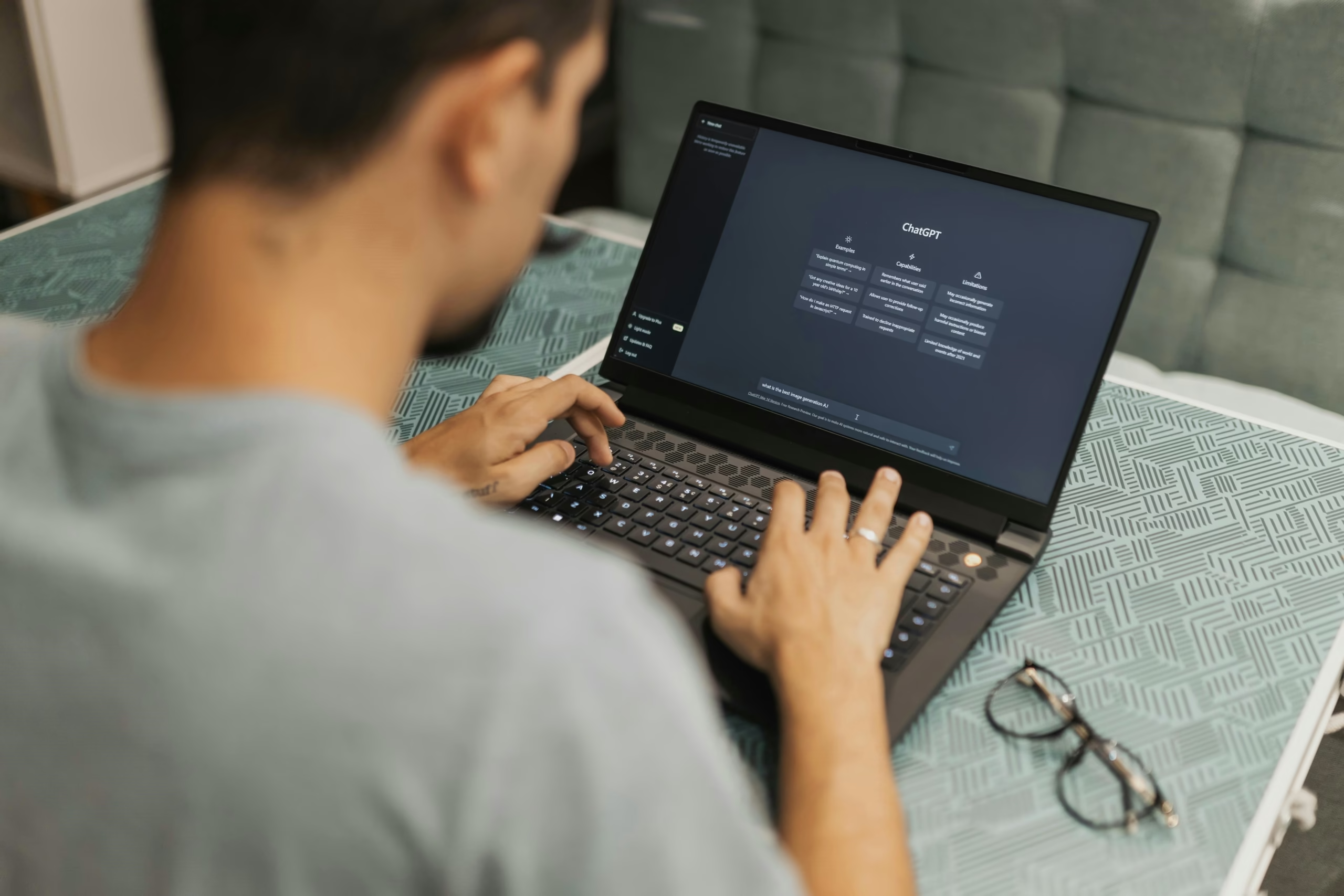
Most AI tools respond. OpenClaw executes. You send a message and something changes: files move, tests run, inboxes

OpenClaw isn’t just another chat interface with a fancy name. It’s closer to a control layer for AI

People often group OpenClaw and Claude Code together. They get labeled as AI agents, automation tools, developer assistants

OpenClaw isn’t a typical chatbot. It’s a local-first AI agent that connects through platforms like Telegram and executes

Most companies sit on more visual data than they realize. Product photos, security footage, drone images, scanned documents,