Monitoring Deforestation Using Remote Sensing
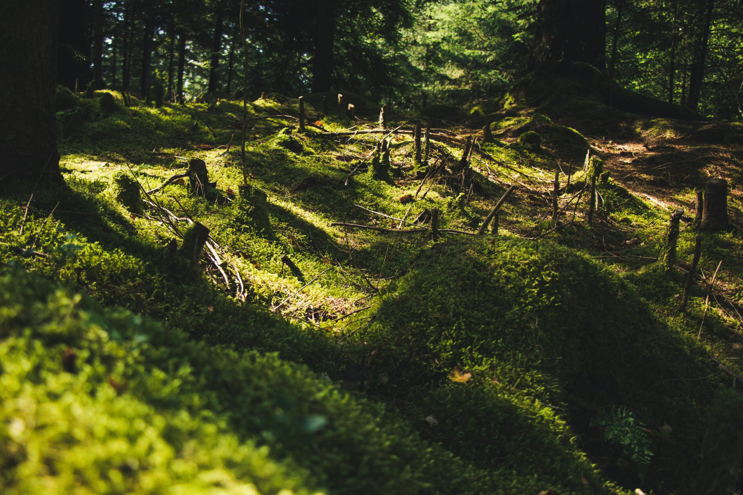
Forests are vital to our planet—they purify the air, regulate the climate, and provide habitats for countless species.
Forests are vital to our planet—they purify the air, regulate the climate, and provide habitats for countless species.
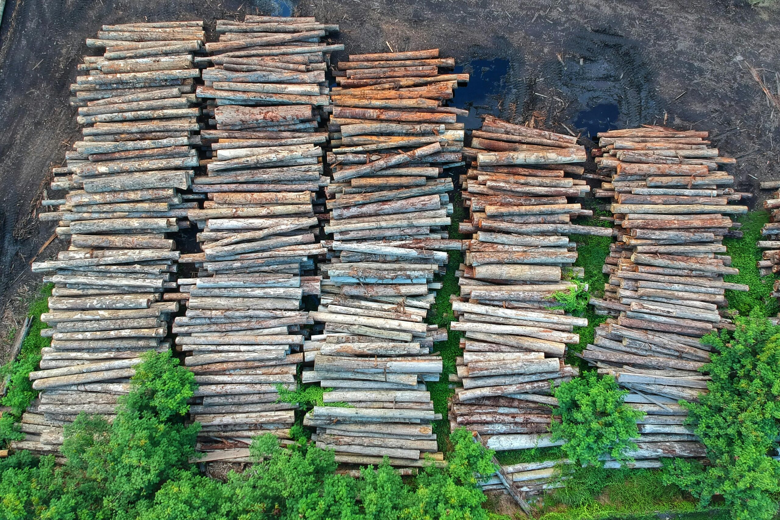
Illegal deforestation is a growing global challenge that threatens biodiversity, contributes to climate change, and disrupts local ecosystems.

Drone technology has transformed how industries conduct object counting and analysis, providing a cost-effective and precise way to
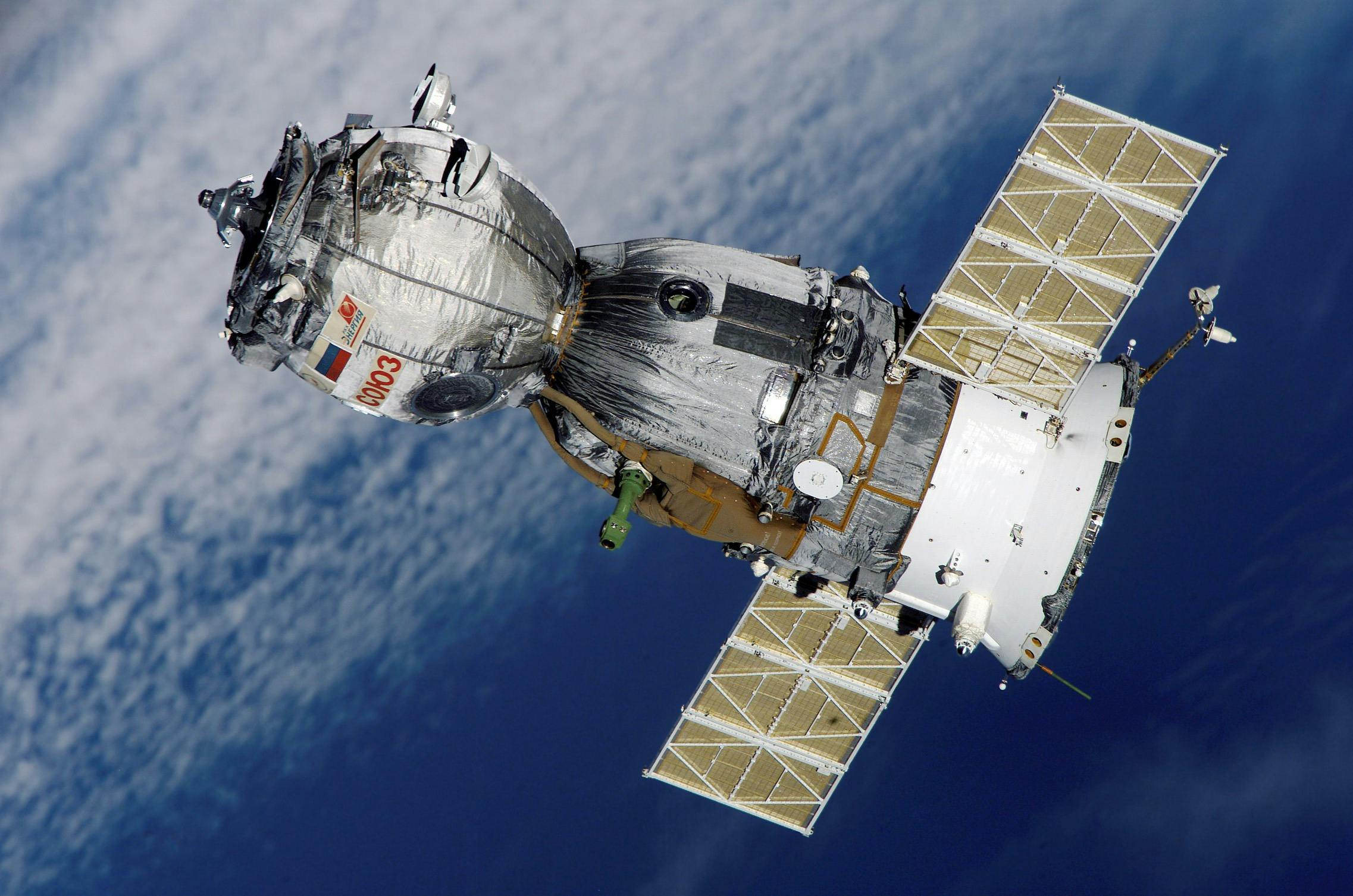
Satellite imagery has transformed how industries analyze and monitor environments. From tracking urban development to monitoring forests and

Ohio hosts several companies specializing in geospatial services, ranging from GIS mapping to remote sensing and data management.
Geospatial companies in Oklahoma provide critical services that support a wide range of industries, including infrastructure development, agriculture,
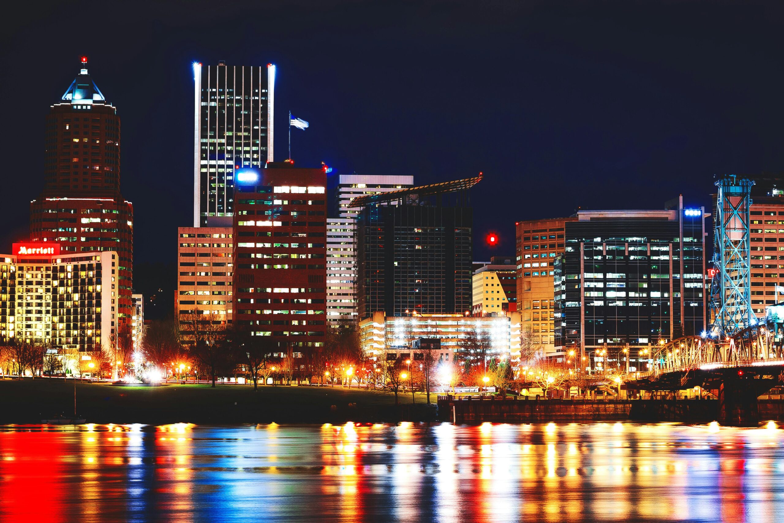
Geospatial companies in Oregon play a vital role in industries like infrastructure, environmental management, and urban planning. By
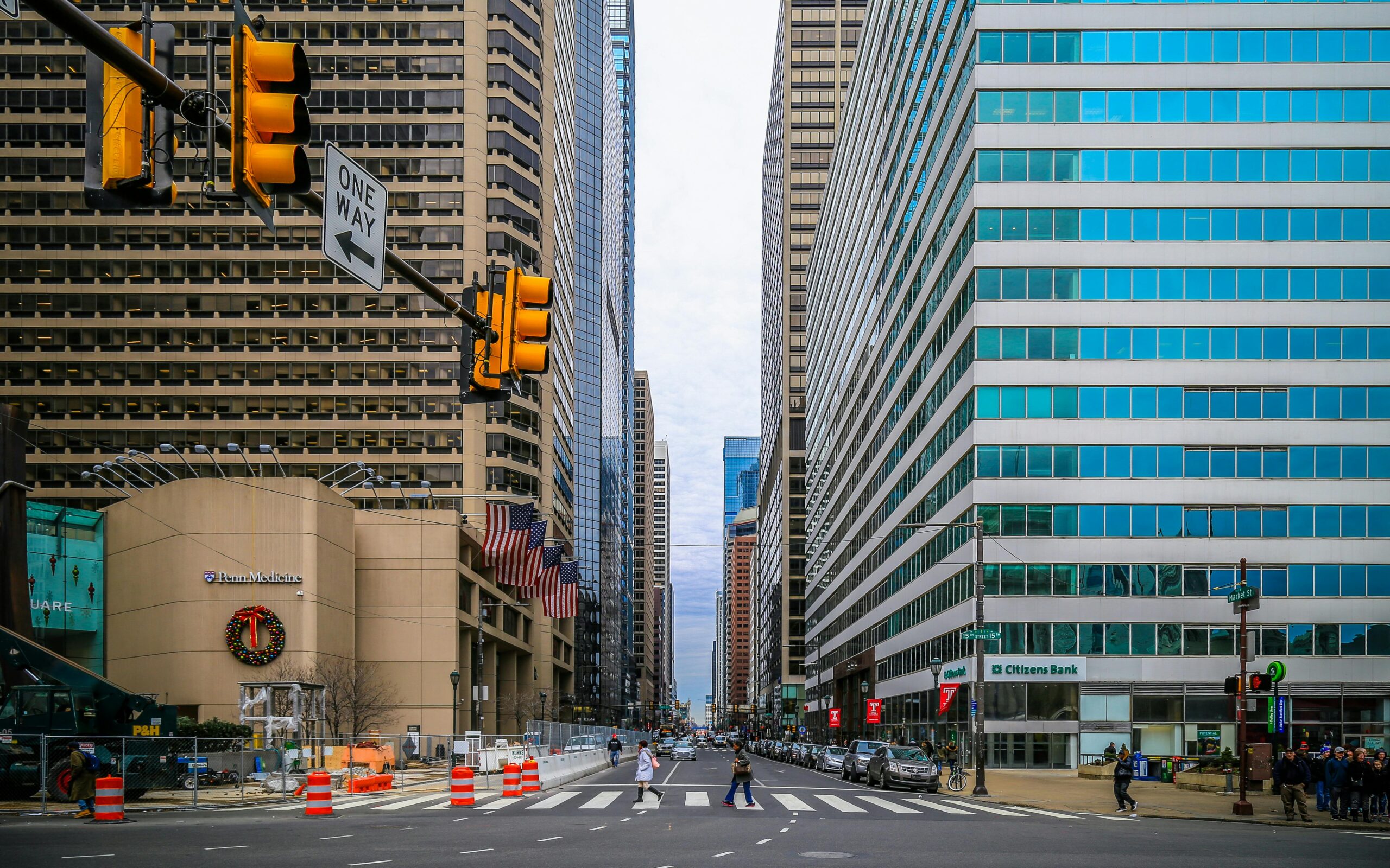
Geospatial technology is essential in Pennsylvania for industries like infrastructure, urban planning, and environmental management. Companies specializing in

Geospatial companies in Rhode Island provide practical solutions for mapping, data analysis, and surveying. These services support various