PrecisionHawk Alternatives: Comprehensive Guide to the Top 15 Solutions
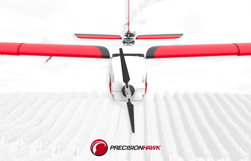
PrecisionHawk is a recognized provider in the field of drone-based aerial data collection and geospatial analysis, supporting industries
PrecisionHawk is a recognized provider in the field of drone-based aerial data collection and geospatial analysis, supporting industries

Kespry is a leading provider of drone-based solutions for aerial data collection and analytics. However, many alternatives in

Pix4DMapper is widely recognized for its photogrammetry and GIS capabilities, allowing users to generate highly detailed 3D models

Percepto has been a leading provider of autonomous aerial data collection and inspection solutions, used across various industries

Space exploration has evolved significantly over the last century, transitioning from a realm solely occupied by governmental entities

Space exploration is a dynamic and evolving field that continues to captivate humanity. With the combined efforts of

The increasing congestion in space is becoming an urgent issue for the global community. The rise of reusable

Space debris, or “space junk,” has become an escalating issue for satellites and spacecraft orbiting Earth. From defunct

In a world that’s becoming increasingly interconnected, satellite tracking solutions are becoming indispensable for industries across the globe.