
Top Intelex Alternatives for EHSQ Management
What Is Intelex and How It Works Intelex is a comprehensive software solution designed for environmental, health, safety,
What Is Intelex and How It Works Intelex is a comprehensive software solution designed for environmental, health, safety,
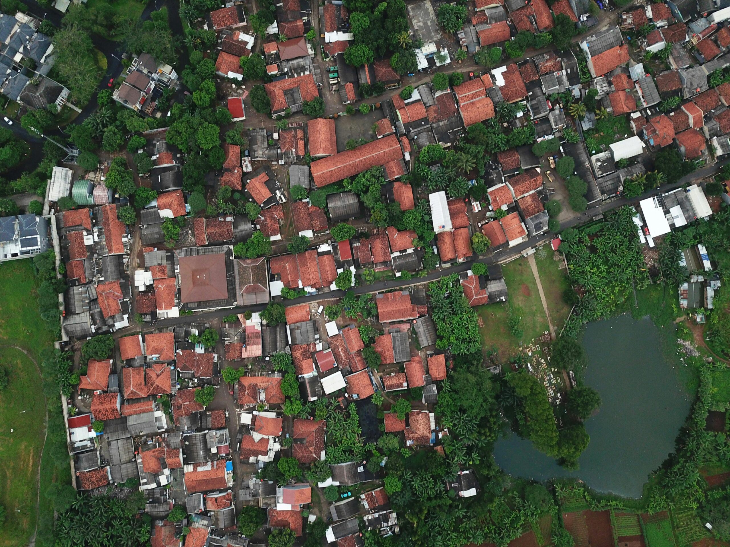
Pix4D is one of the leading programs for creating 3D models and orthophotos, widely used in aerial photography,

Google Earth Engine (GEE) is widely used for satellite data analysis and monitoring environmental changes. However, for tasks
Maxar Technologies is a well-known leader in satellite imagery and geospatial intelligence, serving industries like defense, environmental monitoring,

Planet Labs is a satellite imagery and geospatial data, helping organizations monitor the Earth in near real-time. Their

DroneDeploy is a popular software for drone mapping and management, widely used for various tasks in agriculture, construction,

If you’re developing a mapping or navigation app, you’re probably familiar with Mapbox, a popular tool for adding

QGIS is one of the most popular open-source Geographic Information System (GIS) tools, but it’s not the only

If you’ve been using Groundhog but feel like it’s time for a change, you’re not alone. There are