Los mejores software de mantenimiento de minas y herramientas de inteligencia artificial para 2024
Las operaciones mineras dependen en gran medida de estrategias de mantenimiento eficaces para garantizar la seguridad y la productividad. Con los avances tecnológicos y de software
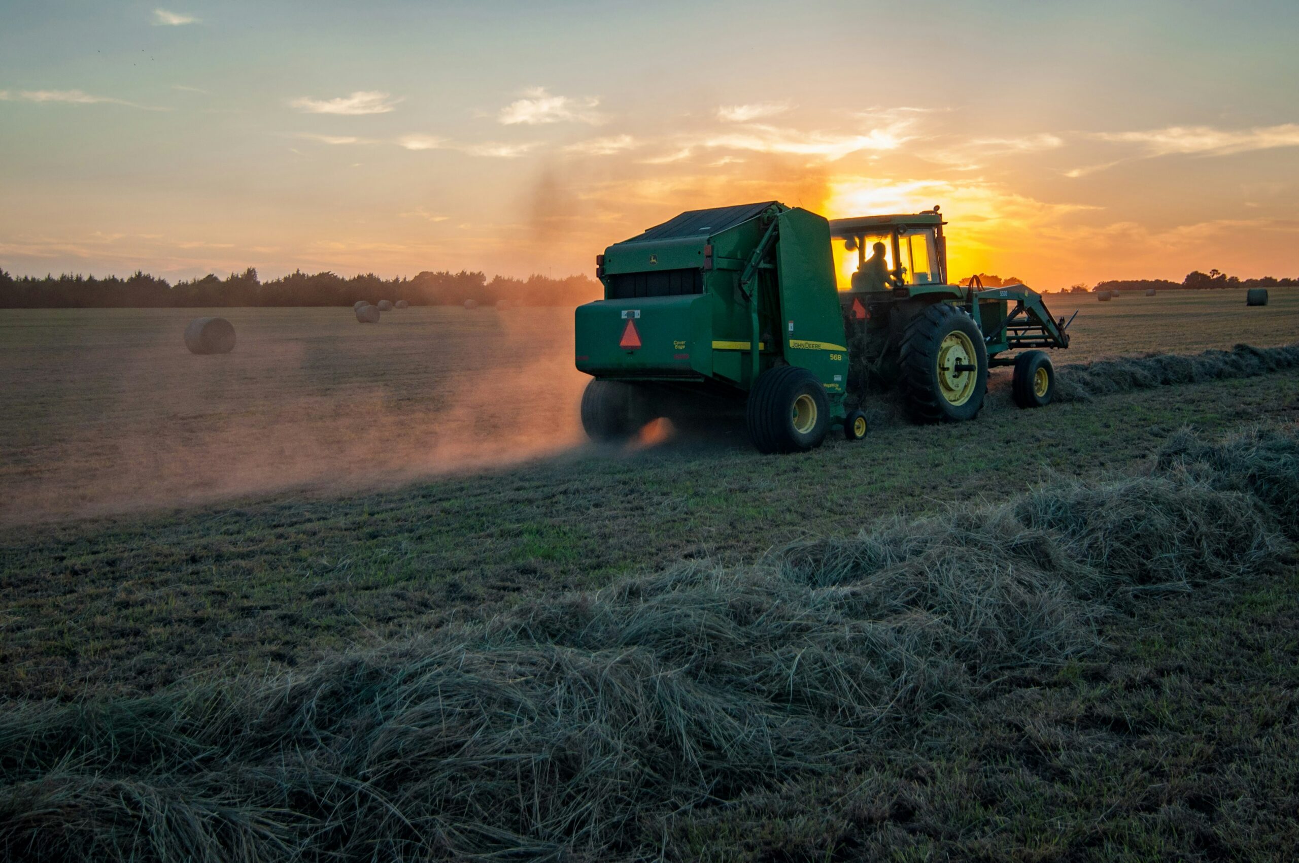
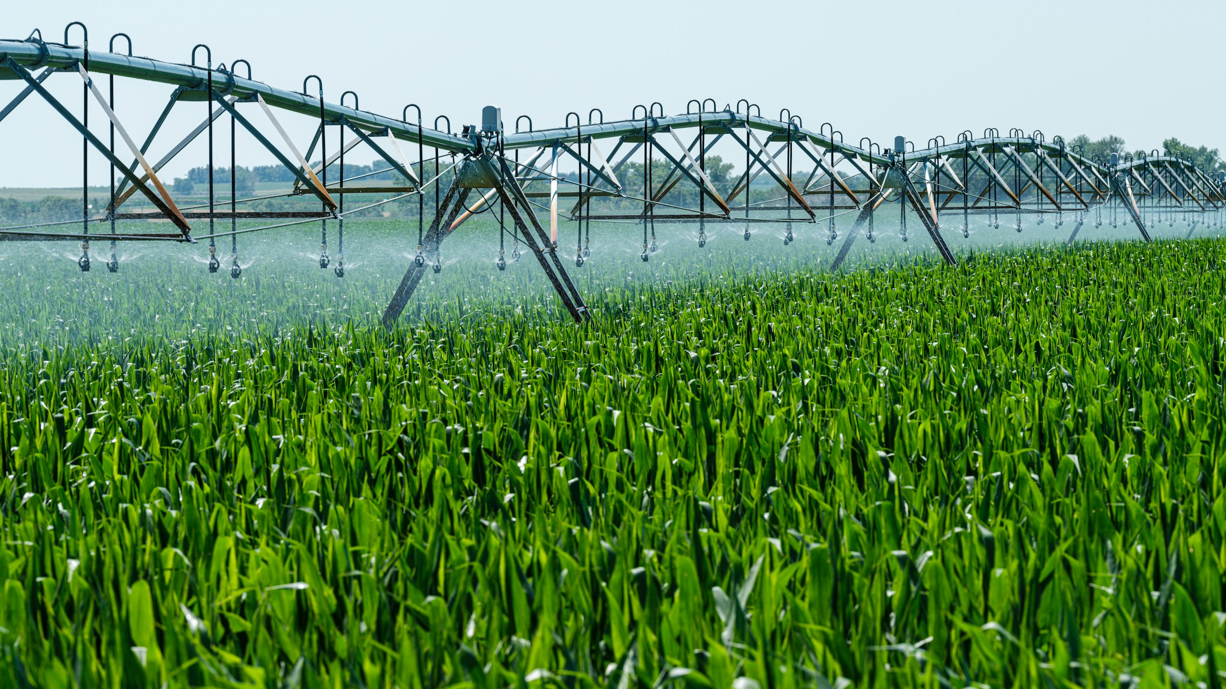
Entendiendo la agricultura de precisión: herramientas, software e inteligencia artificial
La agricultura está cambiando rápidamente con el auge de la tecnología, y la agricultura de precisión está a la vanguardia de esto.

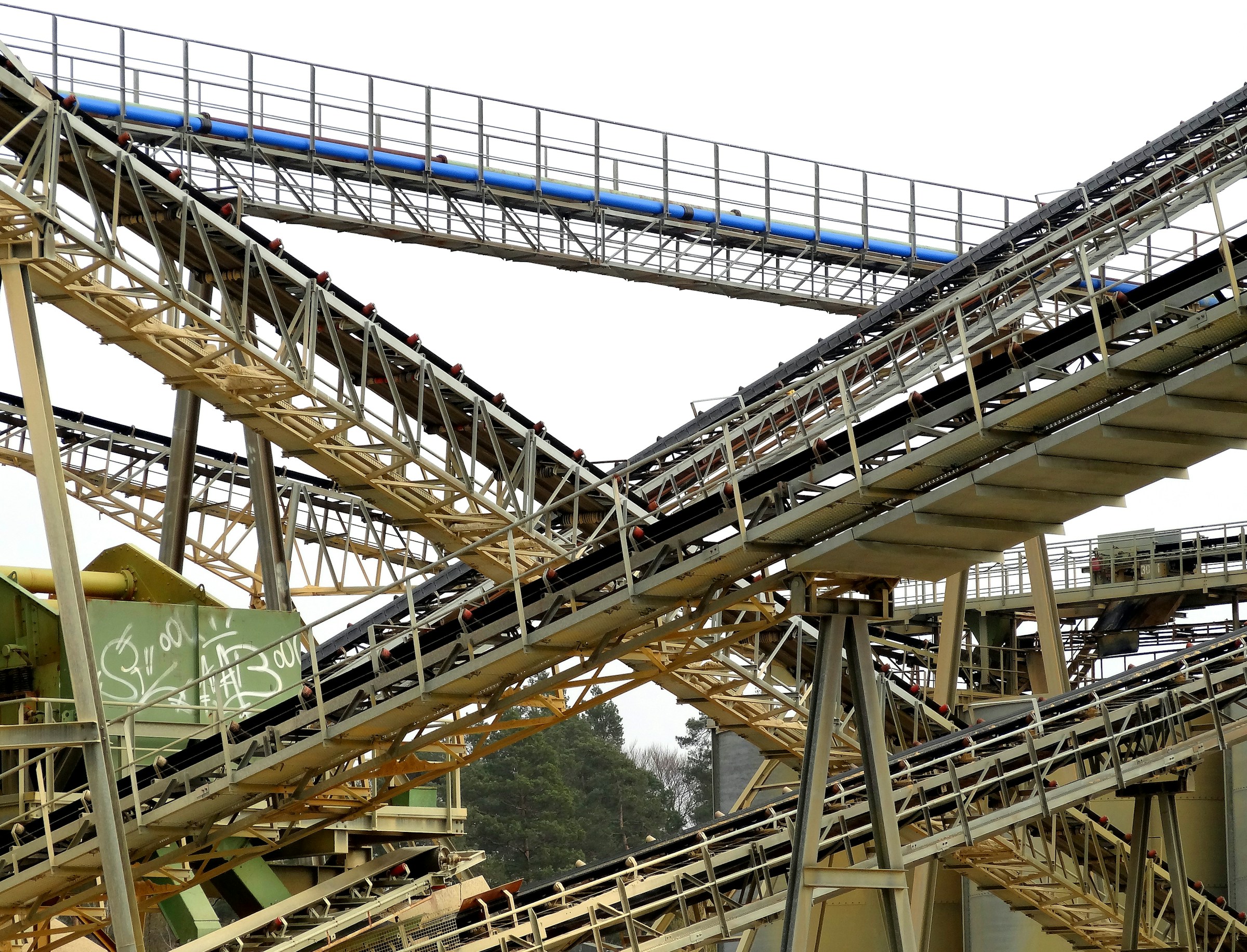
Software, herramientas y soluciones de inteligencia artificial esenciales para la industria minera
La industria minera ha recurrido cada vez más a software, herramientas y soluciones de inteligencia artificial para abordar sus complejos desafíos.
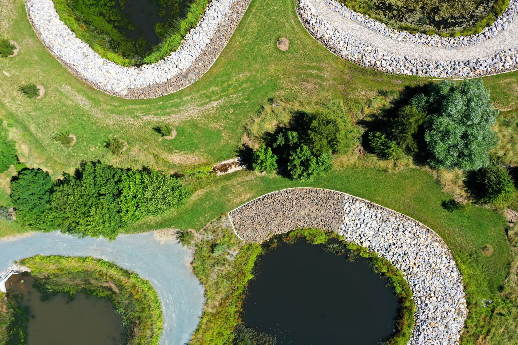
Las mejores herramientas, software y soluciones de inteligencia artificial para la gestión de tierras
Gestionar la tierra eficientemente requiere más que solo métodos tradicionales. Hoy en día, el software de gestión de tierras y las herramientas de IA ofrecen potentes...
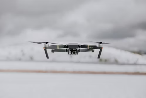
Principales empresas de mapeo con drones en EE. UU.
El mapeo con drones está revolucionando la forma en que industrias como la construcción, la agricultura y el sector inmobiliario realizan estudios y recopilan datos.
Principales empresas de inspección de aerogeneradores con drones en EE. UU.
Las turbinas eólicas son componentes críticos de la infraestructura de energía renovable y garantizar su rendimiento óptimo requiere un mantenimiento regular y

Principales empresas de topografía con drones en EE. UU.
La topografía con drones se ha convertido en una herramienta esencial para las industrias que requieren una recopilación de datos precisa y eficiente

Principales empresas de drones comerciales en EE. UU.
La industria de los drones comerciales en EE. UU. está en auge, con empresas que lideran el camino en el suministro de UAV innovadores.
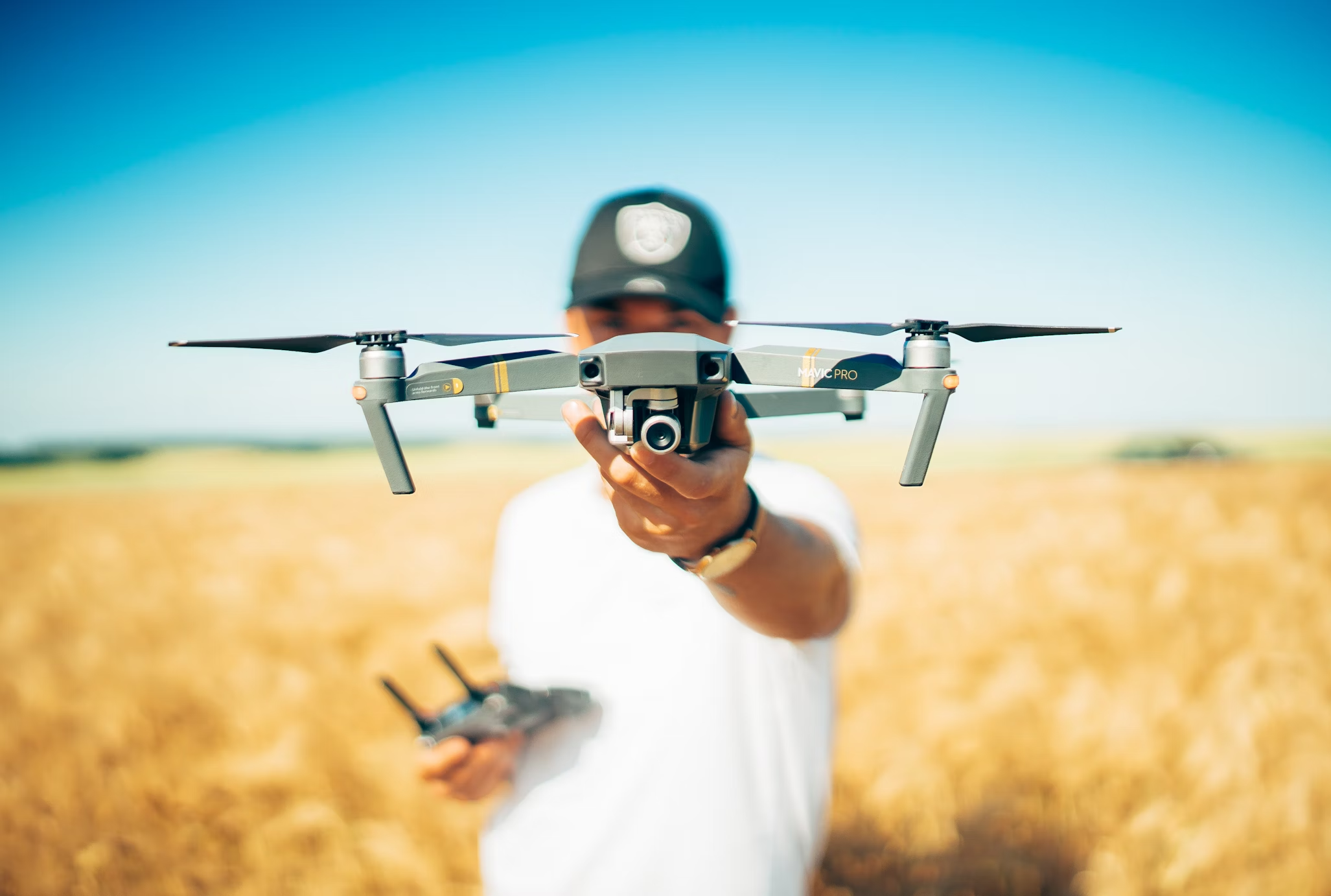
Principales empresas de drones agrícolas en EE. UU.
Los drones agrícolas están transformando la industria agrícola al brindarles a los agricultores herramientas poderosas para monitorear cultivos y evaluar el suelo.