
Alternativas a Maxar Technologies: Principales empresas de imágenes satelitales y datos geoespaciales
Maxar Technologies es un líder reconocido en imágenes satelitales e inteligencia geoespacial, que presta servicios a industrias como defensa, monitoreo ambiental,

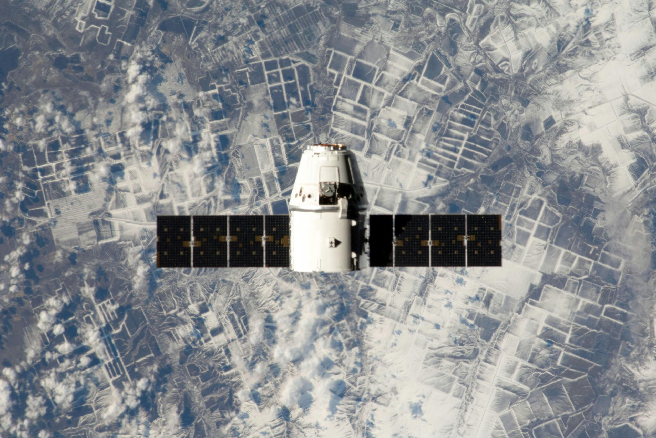
Las 15 mejores alternativas a Planet Labs para imágenes satelitales y datos geoespaciales
Planet Labs es un servicio de imágenes satelitales y datos geoespaciales que ayuda a las organizaciones a monitorear la Tierra casi en tiempo real.

Las mejores alternativas a DroneDeploy para la gestión de datos aéreos
DroneDeploy es un software popular para el mapeo y la gestión de drones, ampliamente utilizado para diversas tareas en agricultura, construcción,

Las mejores alternativas a Mapbox para mapas y navegación en 2024
Si está desarrollando una aplicación de mapas o navegación, probablemente esté familiarizado con Mapbox, una herramienta popular para agregar

Las mejores alternativas a QGIS para la cartografía SIG en 2024
QGIS es una de las herramientas de sistemas de información geográfica (SIG) de código abierto más populares, pero no es la única

Las mejores alternativas a Groundhog para una mejor gestión de proyectos
Si has estado usando Groundhog pero sientes que es hora de un cambio, no estás solo. Hay

Conferencias sobre tecnología espacial 2024-2025: Impulsando la innovación espacial
La tecnología espacial está evolucionando rápidamente, con nuevas innovaciones y avances que dan forma al futuro de la exploración, las comunicaciones por satélite y

Principales conferencias aeroespaciales 2024-2025: dando forma al futuro de la aviación y la exploración espacial
La industria aeroespacial está experimentando una rápida transformación, con avances en tecnologías como el diseño de aeronaves, los sistemas de propulsión y la autonomía.

Principales empresas de drones en California
California se ha convertido en un centro de innovación en tecnología de drones, hogar de varias empresas que desarrollan drones de última generación y