
Principais empresas fabricantes de drones em 2024
A indústria de drones evoluiu rapidamente, com inúmeras empresas liderando inovações em tecnologia aérea. Essas empresas estão revolucionando

Principais empresas de drones nos Emirados Árabes Unidos
Os Emirados Árabes Unidos estão emergindo como líderes em tecnologia de drones, com uma série de empresas fornecendo serviços aéreos de ponta

Principais empresas de marketing de drones
O marketing de drones está transformando rapidamente a maneira como as marcas alcançam seus públicos, fornecendo conteúdo exclusivo e cativante

Principais empresas de drones na Virgínia
A Virgínia se tornou um centro de tecnologia inovadora de drones, com várias empresas oferecendo serviços especializados em todos os setores. De
As melhores companhias de seguros para drones para proteger seu UAV
O seguro de drones é essencial para operadores de drones recreativos e comerciais para proteção contra riscos potenciais e garantir

Empresas Líderes em Drones no Colorado Impulsionando a Inovação Aérea
As paisagens diversas do Colorado e o cenário tecnológico crescente fazem dele um local privilegiado para a inovação de drones. De levantamento aéreo
Empresas de drones de crescimento mais rápido revolucionando a indústria
À medida que os drones continuam a ganhar força em vários setores, várias empresas estão emergindo como líderes em inovação e

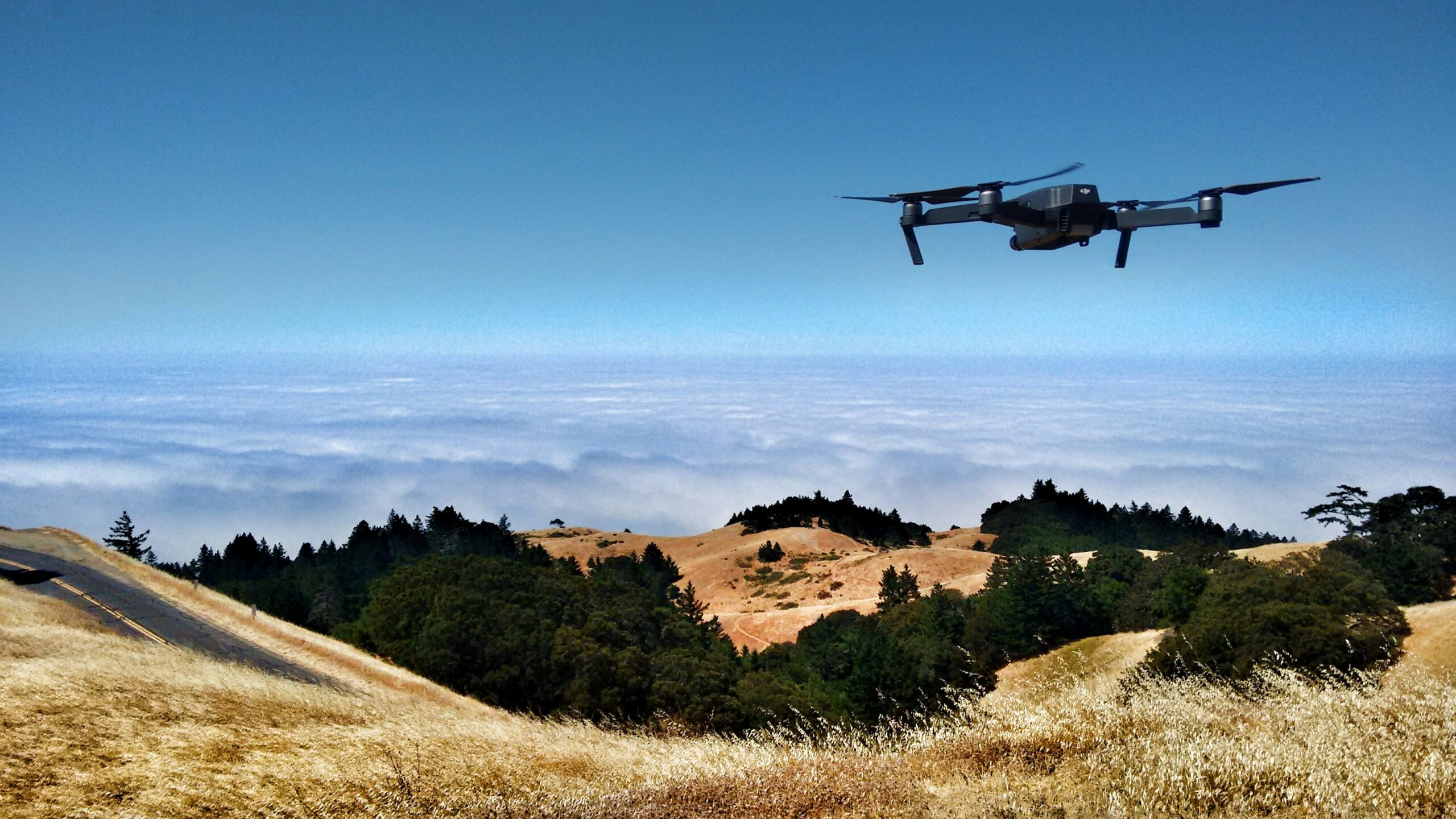
Principais empresas de drones na Bay Area impulsionando a inovação
A Bay Area é um centro de inovação tecnológica, e a indústria de drones não é exceção. Com sua
Empresas líderes em drones de IA transformando indústrias modernas
A integração da inteligência artificial com a tecnologia de drones abriu novas fronteiras em várias indústrias. Da agricultura de precisão