
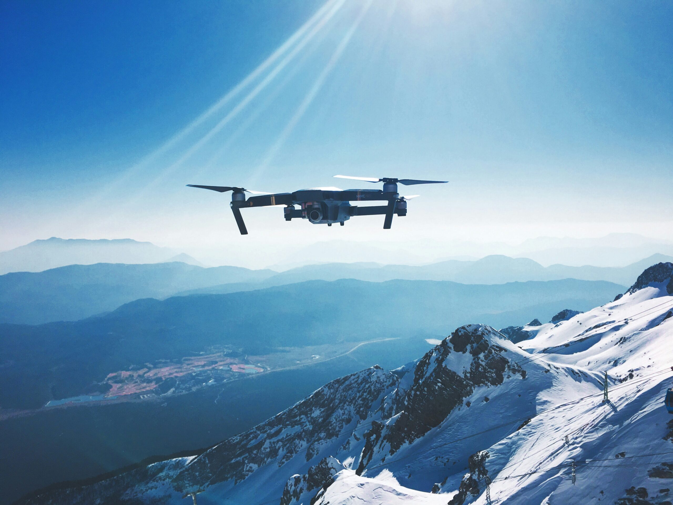
أكبر شركات الطائرات بدون طيار التي تشكل مستقبل تكنولوجيا الطيران في عام 2024
مع استمرار تطور تكنولوجيا الطائرات بدون طيار، برزت العديد من الشركات في طليعة الصناعة، مما دفع الابتكار
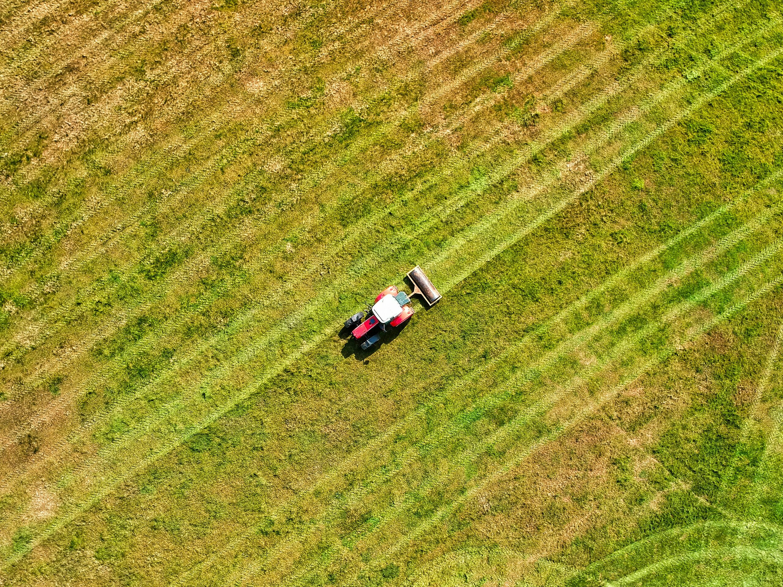
أفضل شركات رش الطائرات بدون طيار الزراعية التي ستحدث ثورة في الزراعة في عام 2024
تعمل الطائرات الزراعية بدون طيار المزودة بالرشاشات على تحويل صناعة الزراعة من خلال تمكين التطبيق الدقيق للأسمدة والمبيدات الحشرية
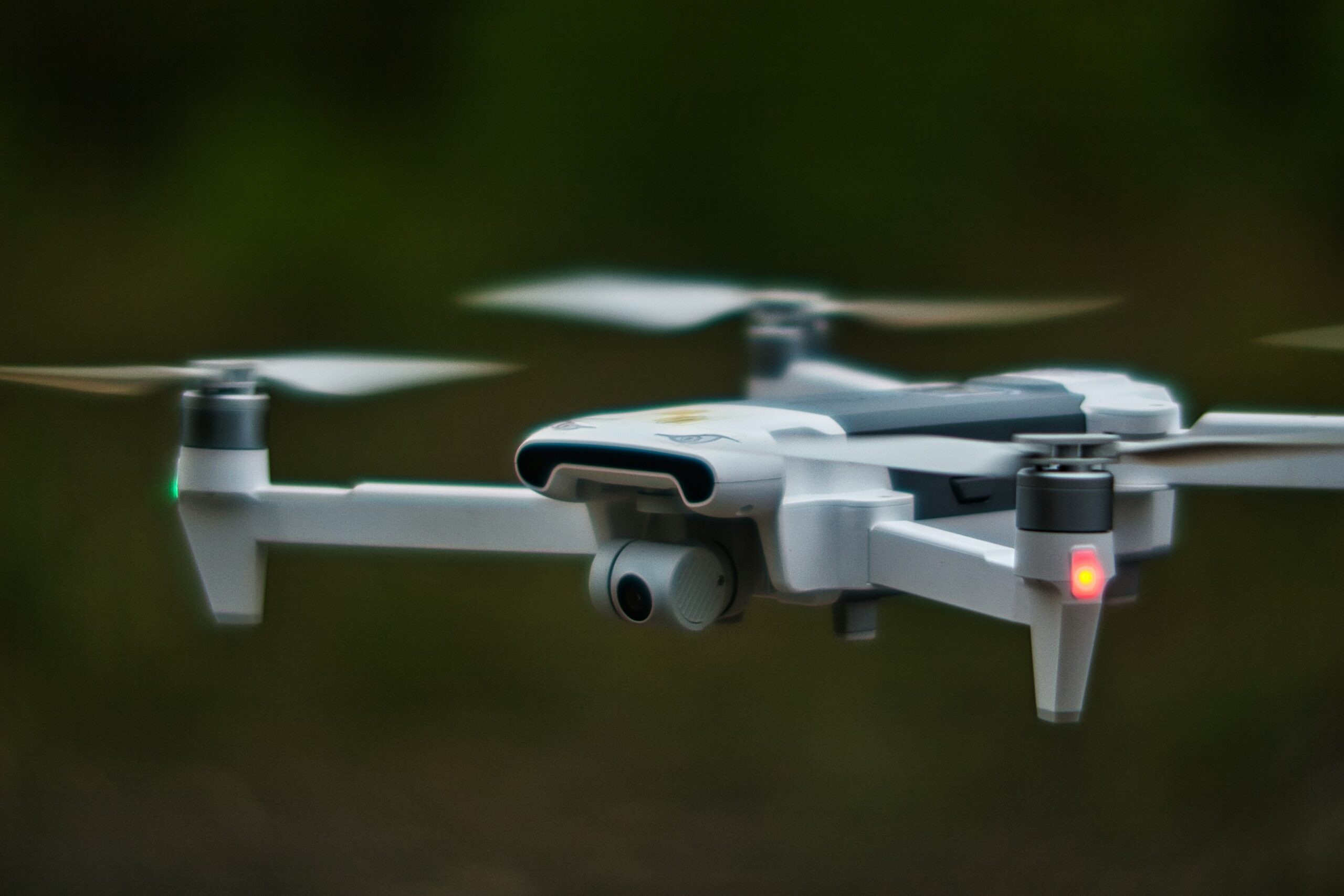
أفضل شركات تصنيع الطائرات بدون طيار التي تشكل المستقبل في عام 2024
شهدت تكنولوجيا الطائرات بدون طيار تطورات ملحوظة في السنوات الأخيرة، حيث استفادت العديد من الصناعات من هذه الحلول الجوية متعددة الاستخدامات.
أفضل شركات الطائرات بدون طيار الرائدة في مجال الابتكار في عام 2024
لقد غيرت الطائرات بدون طيار الصناعات من الزراعة إلى صناعة الأفلام، حيث قدمت إمكانيات جديدة في التكنولوجيا الجوية. ومع تزايد الطلب على الطائرات بدون طيار،
أفضل شركات التوصيل بالطائرات بدون طيار التي أحدثت ثورة في مجال الخدمات اللوجستية
تعمل عمليات التسليم بواسطة الطائرات بدون طيار على إعادة تشكيل صناعة الخدمات اللوجستية بسرعة، حيث توفر حلولاً أسرع وأكثر كفاءة لنقل البضائع.

فهم برامج التصور الجغرافي وأدوات الذكاء الاصطناعي
تساعدنا برامج التصور الجغرافي وأدوات الذكاء الاصطناعي في فهم البيانات التي تحتوي على عنصر الموقع. سواء

كيف تعمل أدوات الذكاء الاصطناعي والبرمجيات على تغيير تتبع الأثر البيئي
في عالم اليوم، تركز الشركات والمؤسسات بشكل متزايد على تقليل بصمتها البيئية. ولتحقيق ذلك،
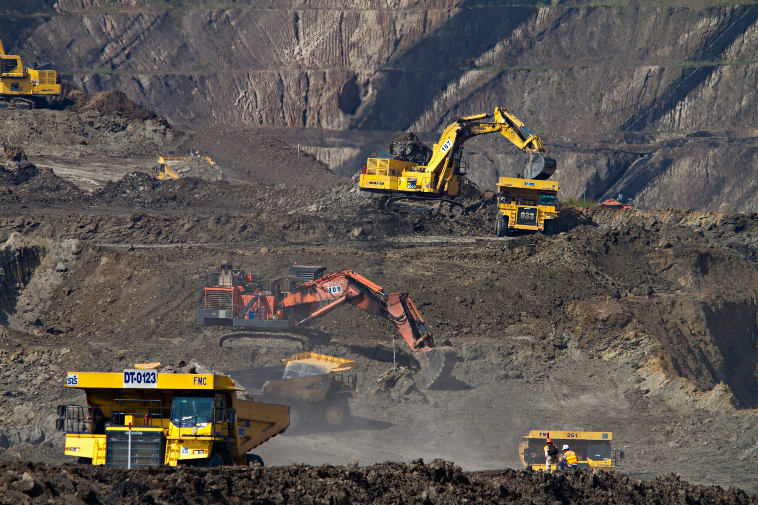
برامج مراقبة التعدين: الأدوات والذكاء الاصطناعي يغيران قواعد اللعبة
لا يقتصر التعدين اليوم على حفر الصخور فحسب، بل يتعلق أيضًا باستخدام التكنولوجيا الذكية لجعل العمليات أكثر سلاسة وأمانًا وفعالية.
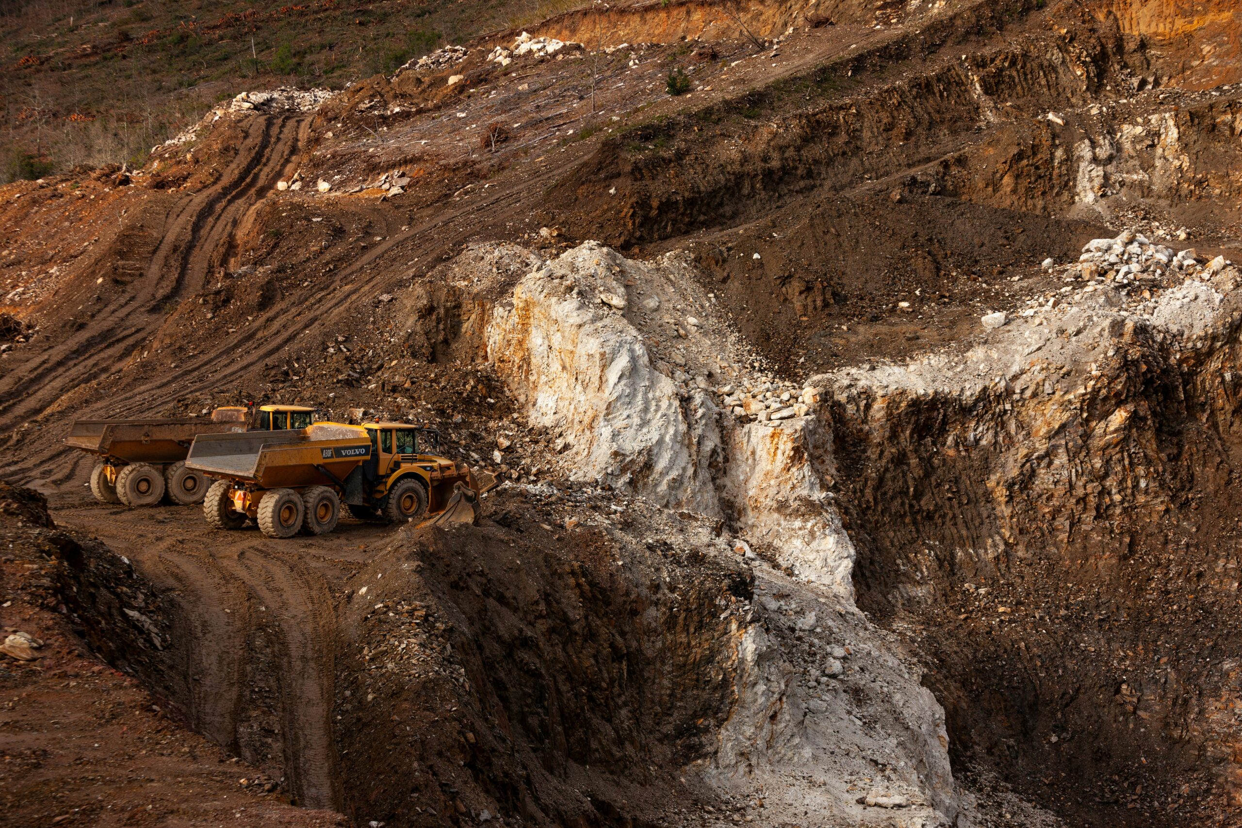
أفضل برامج فحص التعدين وأدوات الذكاء الاصطناعي لتحقيق نتائج أفضل
تعتبر عمليات التفتيش في المناجم بالغة الأهمية، ولكنها لا يجب أن تكون معقدة. اليوم، توجد أدوات برمجية قوية و