أفضل برامج صيانة المناجم وأدوات الذكاء الاصطناعي لعام 2024
تعتمد عمليات التعدين بشكل كبير على استراتيجيات صيانة فعّالة لضمان السلامة والإنتاجية. مع التقدم التكنولوجي، والبرمجيات
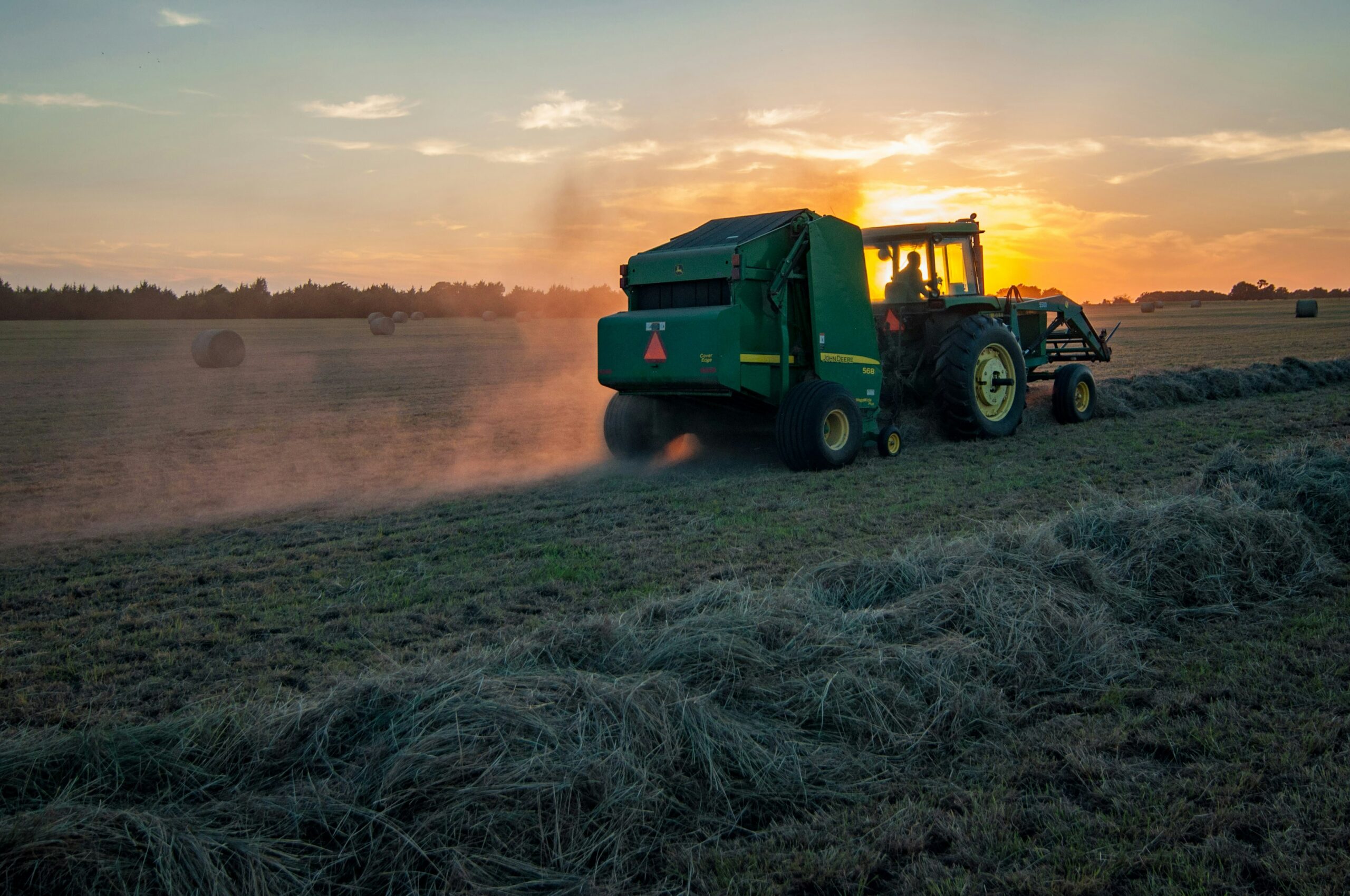
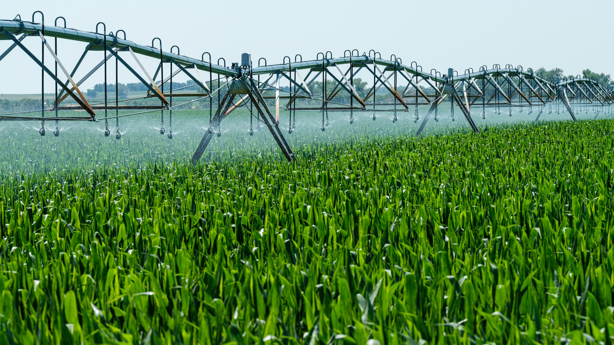
فهم الزراعة الدقيقة: الأدوات والبرمجيات والذكاء الاصطناعي
تتغير الزراعة بسرعة مع ظهور التكنولوجيا، والزراعة الدقيقة في طليعة هذا

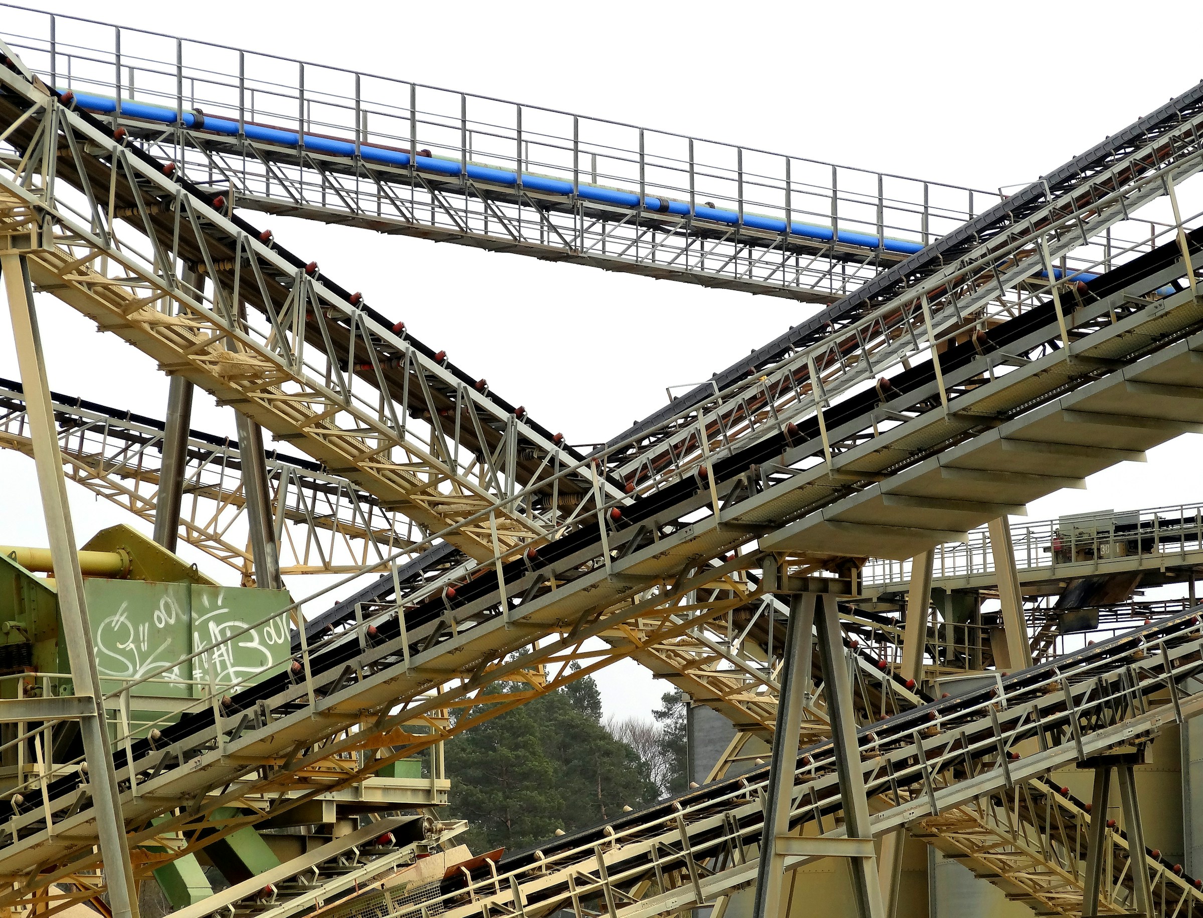
برامج وأدوات وحلول الذكاء الاصطناعي الأساسية لصناعة التعدين
لقد لجأت صناعة التعدين بشكل متزايد إلى البرمجيات والأدوات وحلول الذكاء الاصطناعي لمواجهة تحدياتها المعقدة.
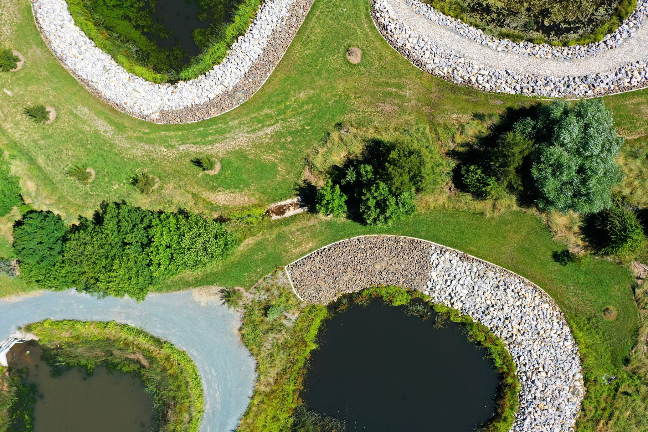
أفضل برامج وأدوات إدارة الأراضي وحلول الذكاء الاصطناعي
تتطلب إدارة الأراضي بكفاءة أكثر من مجرد الطرق التقليدية. اليوم، تُقدم برامج إدارة الأراضي وأدوات الذكاء الاصطناعي حلولاً فعّالة
أفضل شركات رسم الخرائط باستخدام الطائرات بدون طيار في الولايات المتحدة
إن رسم الخرائط باستخدام الطائرات بدون طيار يحدث ثورة في كيفية إجراء الصناعات مثل البناء والزراعة والعقارات للمسوحات وجمع البيانات.
أفضل شركات فحص توربينات الرياح باستخدام الطائرات بدون طيار في الولايات المتحدة
تعتبر توربينات الرياح مكونات أساسية للبنية التحتية للطاقة المتجددة، ويتطلب ضمان أدائها الأمثل الصيانة المنتظمة والدورية.

أفضل شركات المسح باستخدام الطائرات بدون طيار في الولايات المتحدة الأمريكية
أصبح مسح الطائرات بدون طيار أداة أساسية للصناعات التي تتطلب جمع بيانات دقيقة وفعالة من

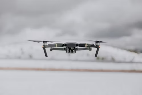
أفضل شركات الطائرات بدون طيار التجارية في الولايات المتحدة الأمريكية
تشهد صناعة الطائرات بدون طيار التجارية في الولايات المتحدة ازدهارًا كبيرًا، حيث تقود الشركات الطريق في توفير الطائرات بدون طيار المبتكرة
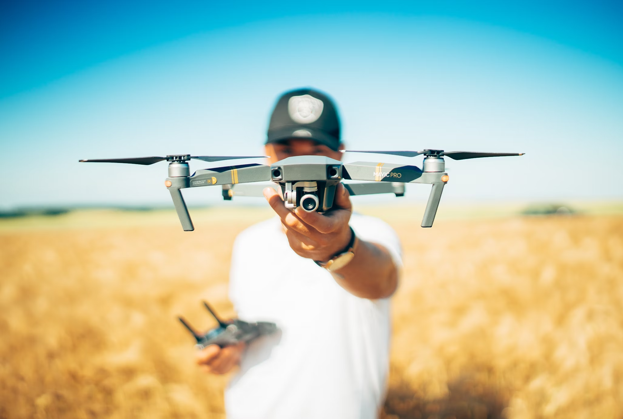
أفضل شركات الطائرات بدون طيار للزراعة في الولايات المتحدة الأمريكية
تعمل الطائرات بدون طيار الزراعية على تحويل صناعة الزراعة من خلال تزويد المزارعين بأدوات قوية لمراقبة المحاصيل وتقييم التربة