Top UAV Aerial Inspection Tools for Accurate Assessments
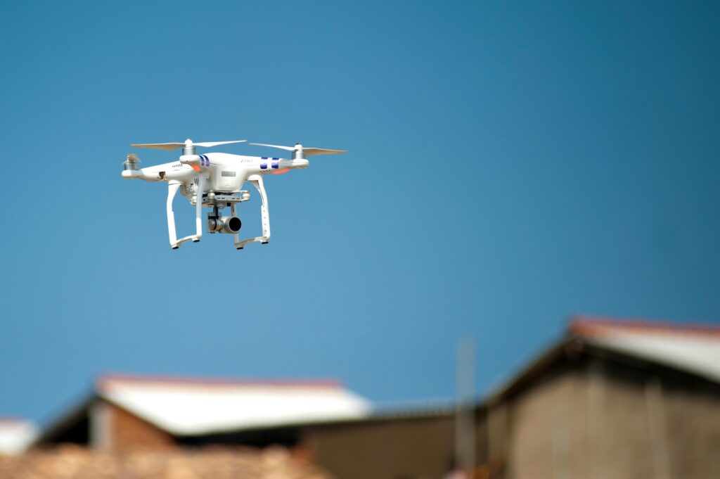
Unmanned Aerial Vehicles (UAVs) have revolutionized the way inspections are conducted across industries like construction, energy, and agriculture. With advanced imaging, thermal sensors, and AI-powered analytics, UAVs provide efficient, safe, and cost-effective solutions for inspections. 1. FlyPix AI At FlyPix AI, we are redefining how UAV technology is used for aerial inspections across industries. Our […]
Top Agricultural Zoning Tools to Optimize Your Land Use
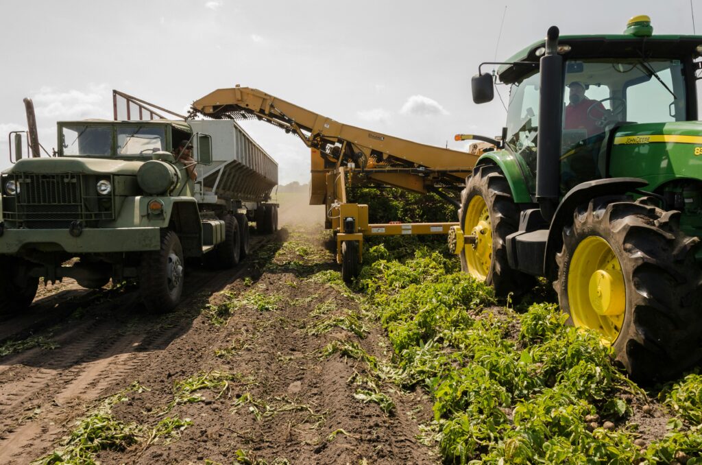
When it comes to managing large agricultural plots, zoning is key to maximizing efficiency. With the right tools, farmers can divide land into different zones, each designed for optimal productivity based on factors like soil type, climate, and water availability. Let’s dive into some of the top agricultural zoning tools that are making land management […]
Best Solar Farm Assessment Tools to Optimize Performance
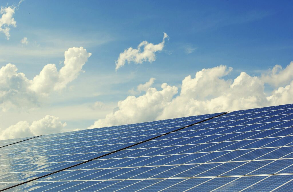
When it comes to managing a solar farm, choosing the right assessment tools is crucial. These tools help you monitor energy production, calculate costs, and assess overall efficiency. Whether you’re a solar farm owner or a project manager, having the best tools at your disposal ensures that you can make informed decisions and boost the […]
Top Terrain Classification Tools for Accurate Mapping
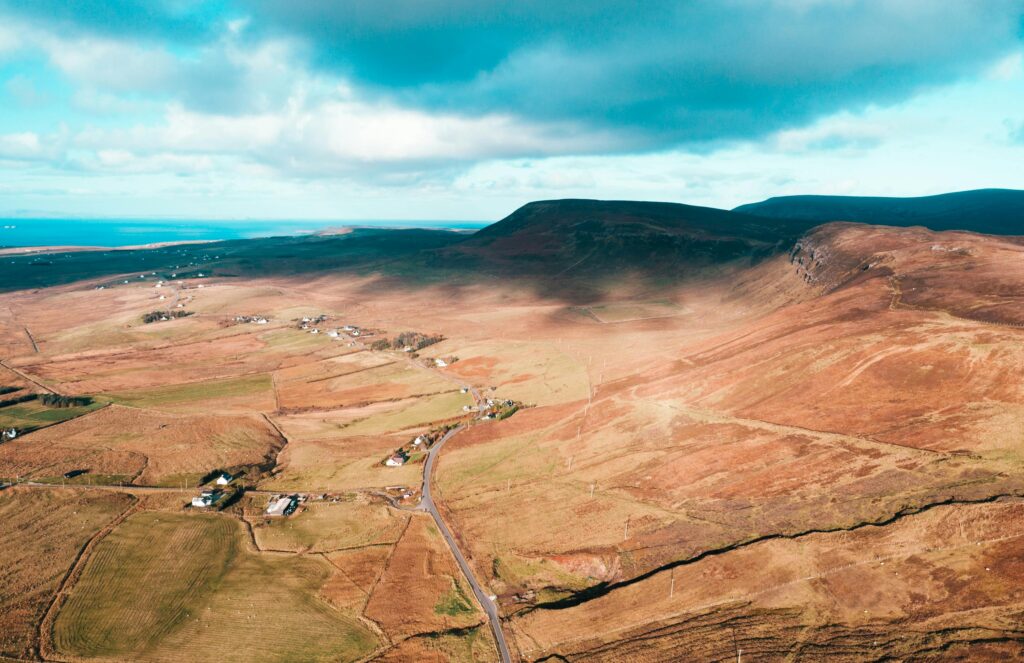
Understanding terrain is crucial for mapping, environmental planning, and land assessment. Whether you’re a GIS professional, researcher, or engineer, having the right terrain classification tools can make all the difference. In this guide, we’ll break down the best software and technologies that help analyze landscapes, from satellite imaging to AI-powered classification. Let’s dive in and […]
Reality Capture vs Photoscan: Key Differences Explained
The rise of 3D scanning and photogrammetry technologies has revolutionized how we capture and analyze the world around us. Two of the most popular methods for creating 3D models from photographs are Reality Capture and Photoscan (now known as Agisoft Metashape). Both offer unique advantages, but understanding the differences between them can help you choose […]
Reality Capture Network Conferences: Must-Attend Events

Reality capture technology is revolutionizing industries, from construction to heritage preservation. If you want to stay updated on the latest advancements in 3D scanning, AI-powered modeling, and digital twins, attending the right conferences is essential. Below, we’ve compiled a list of the top Reality Capture Network conferences where professionals gather to exchange ideas, discover new […]
Understanding the Reality Capture Process
Reality capture is the process of digitally recording the physical world using advanced technologies such as laser scanning, photogrammetry, and LiDAR. This method enables the creation of precise 3D models for various applications, including architecture, engineering, construction, and heritage preservation. By transforming real-world environments into digital assets, reality capture improves efficiency, reduces errors, and enhances […]
Telecommunications Reality Capture: Transforming Network Infrastructure
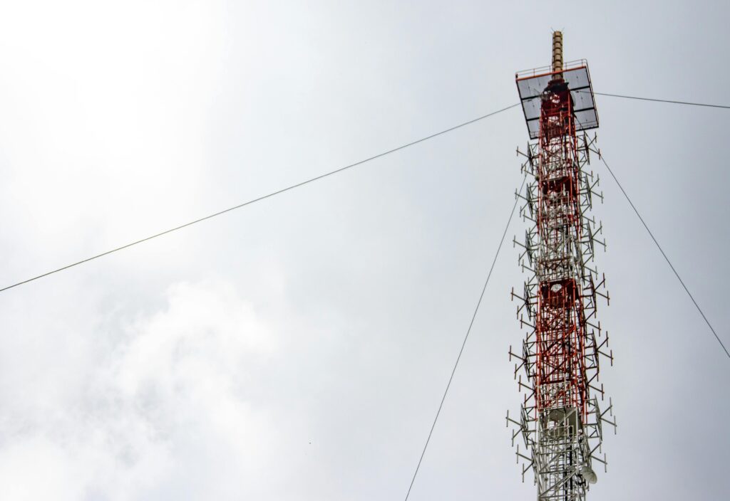
Telecommunications reality capture is revolutionizing how network infrastructure is designed, built, and maintained. By using technologies like LiDAR, photogrammetry, and 3D modeling, telecom companies can create highly accurate digital representations of their assets. This enhances network planning, reduces costs, and improves operational efficiency. In this article, we explore the role of reality capture in telecommunications, […]
Reality Capture Cloud Processing: Transforming 3D Data into Actionable Insights

In the modern world of construction, engineering, and architecture, accuracy and efficiency are paramount. One of the most transformative advancements in these fields is reality capture cloud processing. This technology allows for the capture, storage, and processing of 3D data in the cloud, enabling professionals to visualize, analyze, and collaborate on projects in real time. […]
Top Carbon Footprint Analysis Tools to Track Your Environmental Impact

As the world faces increasing environmental challenges, understanding and managing your carbon footprint has never been more important. Carbon footprint analysis tools provide individuals and businesses with the resources needed to measure their emissions and take actionable steps toward sustainability. In this article, we will explore some of the most effective tools available to help […]