Leading Satellite Imagery Companies

Satellite imagery companies play a crucial role in providing high-quality images of the Earth’s surface, offering valuable insights for everything from agriculture and urban planning to disaster management and environmental monitoring. These companies use advanced satellite technology to capture detailed images, helping organizations make informed decisions based on real-time data. In this article, we’ll explore […]
Top 15 Remote Sensing Companies

Remote sensing transforms how we observe and understand the world, leveraging satellites, drones, and advanced software to collect and analyze data for agriculture, infrastructure, environmental monitoring, and beyond. These leading companies deliver innovative tools and insights, blending cutting-edge imagery with analytics to empower decision-making across diverse sectors. Below are the top 15 firms shaping the […]
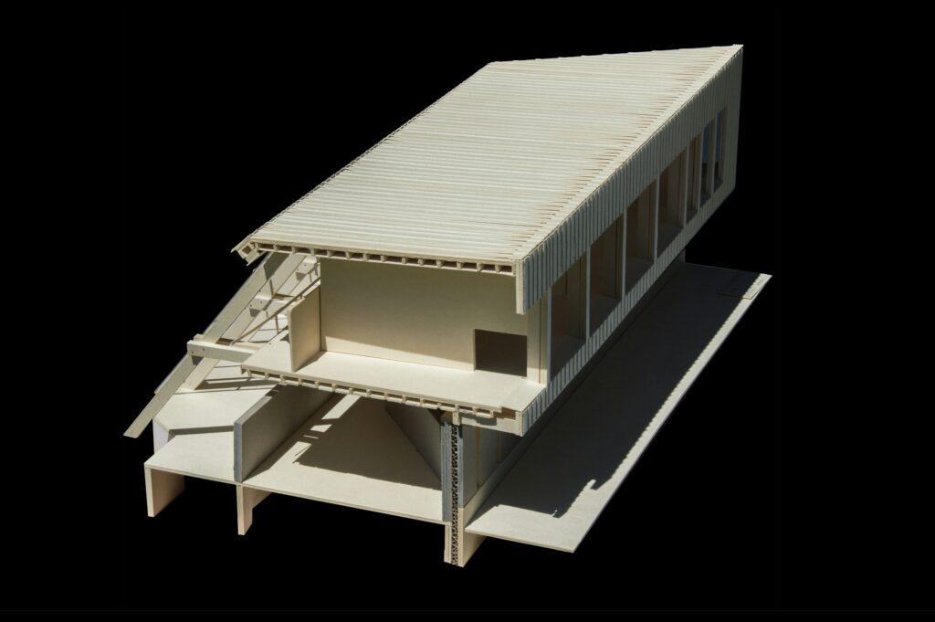
Top Urban Planning Companies Shaping the Future of Our Cities

Urban planning is a vital aspect of creating cities that are functional, sustainable, and livable. Whether it’s designing green spaces, improving public transportation, or creating mixed-use developments, urban planning companies play a crucial role in shaping the communities where we live. In this article, we’ll take a closer look at some of the leading urban […]
Best Crop Monitoring Companies to Boost Farm Productivity
Crop monitoring is a game-changer for modern agriculture. With the help of technology, farmers can now keep a closer eye on their crops, detect issues early, and make smarter decisions that lead to better yields. In this article, we’ll introduce you to some of the top crop monitoring companies that are helping farmers make the […]
Leading Drone Image Processing Companies You Should Know About

Drone image processing has become a game-changer for various industries, providing detailed and high-quality aerial imagery that can be analyzed for countless applications. From agriculture to construction, these companies specialize in transforming raw drone footage into actionable data. In this article, we’ll explore some of the top drone image processing companies that are leading the […]
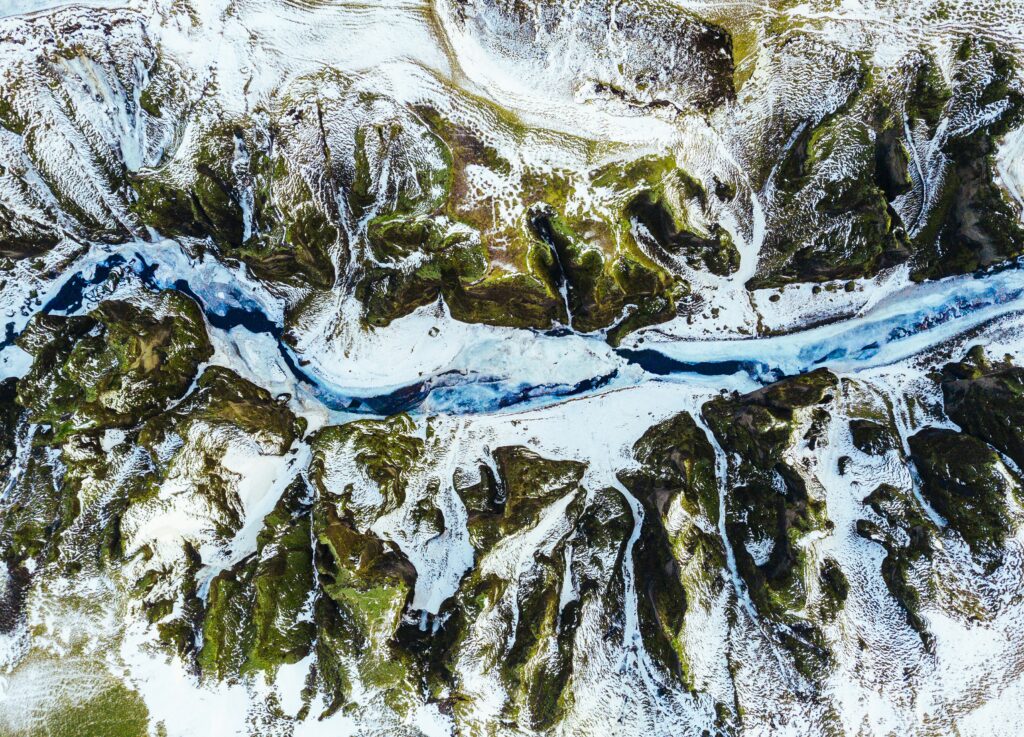
Top Geospatial Analysis Companies

Geospatial analysis is a key tool for businesses and governments alike, helping to understand the world through the lens of maps, data, and location insights. From urban planning to environmental monitoring, these companies specialize in turning complex location-based data into valuable information. Whether you’re working in logistics, real estate, or environmental science, knowing the best […]
Reality Capture for Office Buildings: A Complete Guide

Reality Capture is revolutionizing how office buildings are designed, constructed, and managed. Using advanced 3D scanning technologies like LiDAR, photogrammetry, and drones, businesses can create highly accurate digital twins of their spaces. This technology enhances architectural planning, facility management, and real estate optimization, making office operations more efficient and cost-effective. In this guide, we’ll explore […]
3D Reality Capture for Building Construction
3D reality capture is changing the way buildings are designed, constructed, and managed. By using advanced scanning technologies like LiDAR, photogrammetry, and drones, construction professionals can create precise digital models of real-world structures. This technology enhances accuracy, reduces errors, and improves collaboration across all project phases. What is 3D Reality Capture in Building Construction 3D […]
Reality Capture Methods: Digitizing the World Made Simple

Reality capture is the fascinating process of transforming the physical world-your cluttered desk, a sprawling park, or a delicate handmade object-into a digital format you can explore, measure, or manipulate. With tools like everyday cameras, high-tech lasers, and buzzing drones, it’s more accessible than it sounds. This guide dives deep into the core methods-photogrammetry, LiDAR, […]
Reality Capture in Surveying: Technologies, Applications & Future Trends
Reality Capture is changing the way surveyors collect and analyze data. With advanced tools like LiDAR, drones, and 3D scanning, professionals can create highly detailed 3D models, accurate maps, and digital twins. This technology improves accuracy, efficiency, and safety in various industries, from construction and urban planning to environmental monitoring and infrastructure assessment. Let’s explore […]