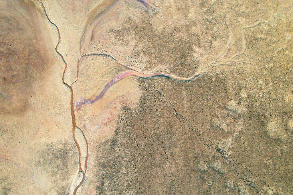
Geospatial Companies in Louisiana: Mapping Innovation

Louisiana is known for its rich cultural heritage and unique geography, but did you know it’s also home to some of the most innovative geospatial companies in the country? These businesses specialize in Geographic Information Systems (GIS), mapping, and location-based technologies that power industries like environmental conservation, urban planning, and disaster management. Let’s dive into […]
Best Geospatial Companies in Kentucky

Geospatial companies in Kentucky provide essential services such as GIS mapping, aerial imaging, and spatial analysis, supporting industries like transportation, urban development, and environmental management. In this article, we highlight the top geospatial companies operating in the state, outlining their key offerings and contact information. 1. FlyPix AI We at FlyPix AI focus on advanced […]
Best Geospatial Companies in Kansas

Kansas is home to a range of geospatial companies offering services that include GIS mapping, data analysis, surveying, and remote sensing. These companies provide essential tools and expertise for industries like agriculture, transportation, urban planning, and environmental management. In this article, we highlight some of the best geospatial companies in Kansas, detailing their services and […]
Best Geospatial Companies in Iowa

Iowa has a range of geospatial companies offering essential GIS and mapping services across sectors such as agriculture, transportation, and local government. These organizations provide tools for spatial data management, visualization, and analysis, supporting effective decision-making and operational efficiency. Below, we list the top geospatial companies in Iowa, including their services and key details. 1. […]
Best Geospatial Companies in Indiana
Geospatial technologies are critical for industries that rely on spatial data to manage resources, plan infrastructure, and make informed decisions. Indiana is home to several companies specializing in geospatial services such as GIS mapping, data integration, and geospatial analysis. These organizations serve industries like agriculture, urban planning, construction, and environmental management, providing essential tools for […]
Best Geospatial Companies in Illinois
Geospatial technologies have become essential tools for a wide range of industries, helping businesses and governments make informed decisions based on spatial data. In Illinois, several companies are leading the way in providing advanced geospatial solutions, from GIS consulting and mapping services to AI-driven analytics. These companies cater to industries like urban planning, agriculture, environmental […]
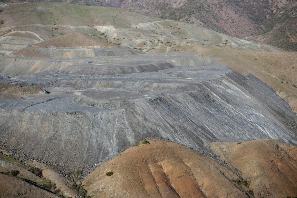
Best Reality Capture Services in Sydney

Looking for top-notch reality capture services in Sydney? Whether you need 3D scanning, LiDAR mapping, or photogrammetry, finding the right provider is key. These advanced technologies help architects, engineers, and construction professionals get precise digital representations of real-world spaces. In this guide, we’ll explore the best reality capture services in Sydney and how they can […]
Reality Capture Hardware: What You Need for High-Quality 3D Scanning

Reality Capture depends on the right hardware to turn real-world objects into precise digital models. From high-resolution cameras to LiDAR scanners, drones, and powerful computers, every component plays a role in capturing and processing accurate 3D data. Whether you’re scanning buildings, landscapes, or small objects, choosing the best gear ensures smoother workflows and better results. […]
SimActive Correlator3D Alternatives: A Complete Guide to Choosing the Best Solution
SimActive Correlator3D is a leading photogrammetry software used for creating high-precision 3D models, mapping, and imagery analysis. Its advanced features cater to industries like surveying, agriculture, and urban planning. However, businesses may seek alternatives due to budget considerations, specific feature needs, or licensing preferences. In this guide, we’ll explore 18 top alternatives, highlighting their strengths […]
Fortem TrueView Alternatives: A Complete Guide to Choosing the Best Solution

Fortem TrueView is a leading AI-powered security solution designed for advanced threat detection and autonomous monitoring. Known for its cutting-edge technology in the drone detection and airspace security space, TrueView offers unmatched precision and real-time threat intelligence. However, organizations seeking more specialized, flexible, or cost-effective options may find alternatives that better suit their specific needs. […]