Leading GIS Conferences Worth Attending
Geographic Information Systems (GIS) conferences serve as crucial hubs for professionals working with spatial data, mapping technology, and…
Read More »: Leading GIS Conferences Worth Attending
Geographic Information Systems (GIS) conferences serve as crucial hubs for professionals working with spatial data, mapping technology, and…
Read More »: Leading GIS Conferences Worth AttendingGeospatial conferences serve as major touchpoints for professionals working in GIS, remote sensing, cartography, and spatial data science.…
Read More »: Geospatial Conferences: Key Events for Mapping and Location Intelligence ProfessionalsRemote sensing continues to play a critical role in monitoring the planet, managing resources, and supporting data-driven decision-making.…
Read More »: Remote Sensing Conferences: Global Events for Geospatial InnovationIn the age of digital transformation, Earth Observation (EO) data has emerged as a potent tool for enhancing operational efficiency across…
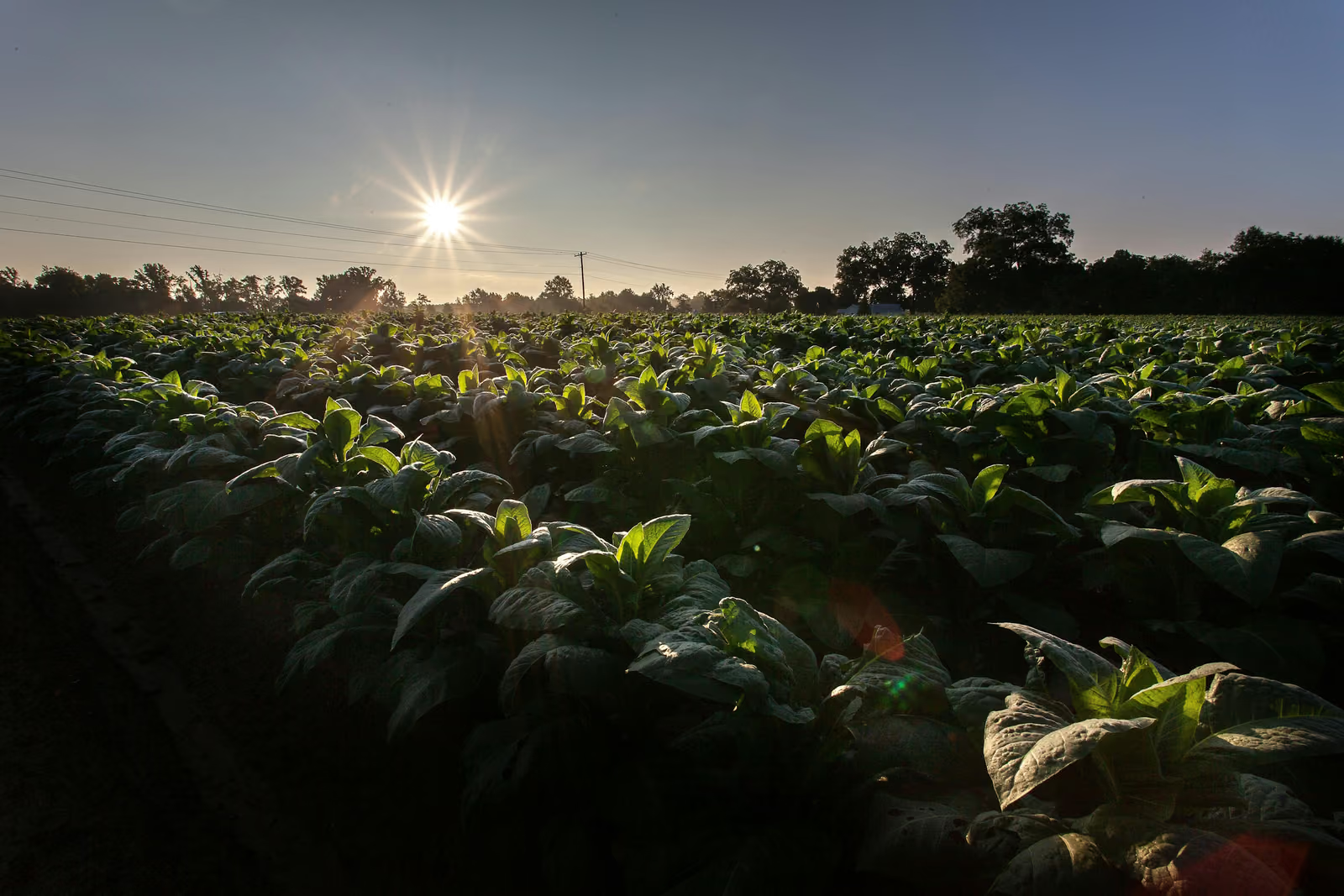
Read More »: Harnessing Earth Observation Data to Revolutionize the Tobacco Wholesale IndustryIn the rapidly evolving world of animal production, leveraging cutting-edge technology is no longer a luxury but a necessity. Earth…
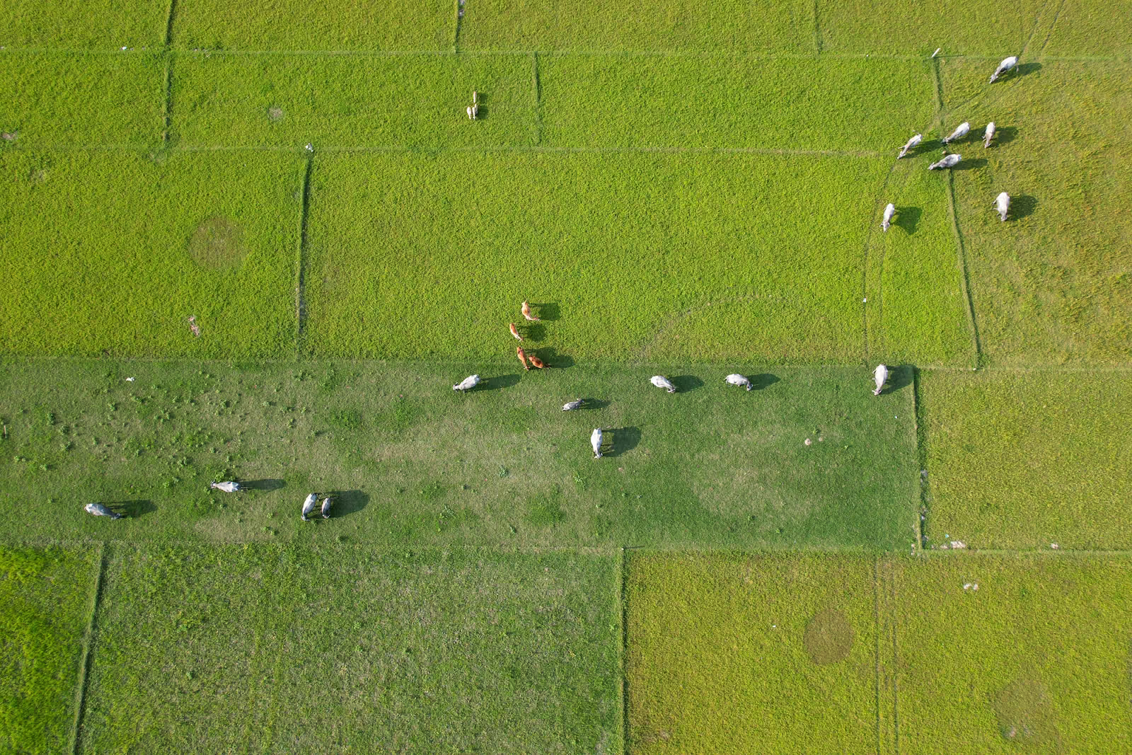
Read More »: Unlocking Enhanced Animal Production: The Power of Earth Observation DataIn the swiftly evolving landscape of retail, the integration of advanced technologies is becoming indispensable. The retail sale of medical…
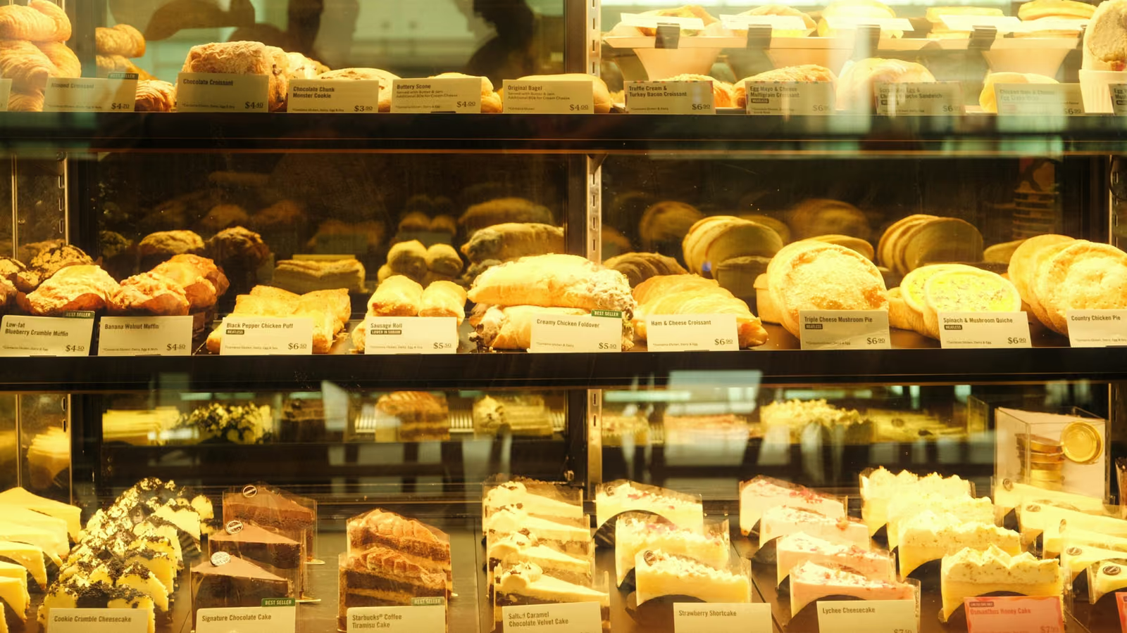
Read More »: Harnessing Earth Observation Data to Revolutionize Retail Sale of Medical and Orthopaedic GoodsIn the fast-paced world of retail, especially in the niche yet ubiquitous sector of bread, cake, and confectionery, staying ahead of the…
Read More »: Harnessing Earth Observation Data for Retail Success in Bread, Cake, and ConfectioneryIn the rapidly evolving landscape of the perfume and cosmetics wholesale industry, staying ahead of the curve requires innovative approaches…
Read More »: Unlocking the Power of Earth Observation Data in the Perfume and Cosmetics Wholesale IndustryImagine trying to make sense of a massive map with layers of data - population trends, weather patterns, or traffic flows. It’s…
Read More »: 10 Best GeoAI Tools and AI Software (2026)Geospatial artificial intelligence, or GeoAI, is changing how we analyze maps, satellite images, and location data. It’s about using AI to…
Read More »: Master GeoAI: Top Courses for Geospatial AI SkillsWe value your privacy
We use cookies to enhance your browsing experience, serve personalized ads or content, and analyze our traffic. By clicking "Accept All", you consent to our use of cookies. Privacy Policy