Best Tree Counting Services Companies
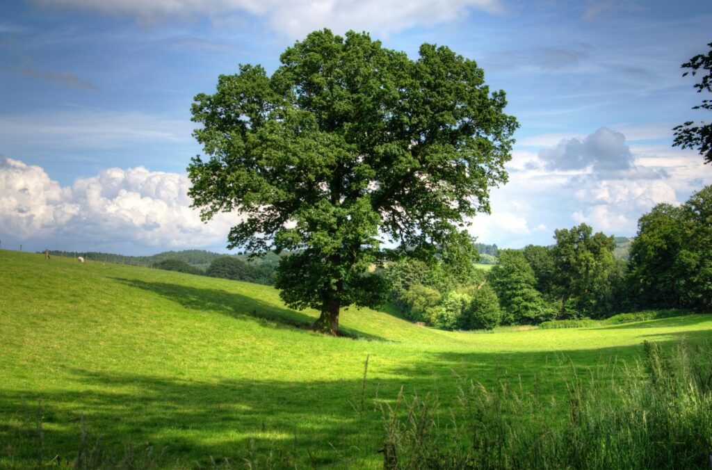
Tree counting services play a critical role in forestry, agriculture, and environmental management. By combining cutting-edge technologies such as artificial intelligence, drones, and geospatial data analysis, these companies offer efficient and accurate solutions for monitoring tree densities, assessing resources, and planning conservation efforts. Below, we highlight the best tree counting services companies, detailing their key […]
Top Geospatial Companies and Technologies for Deforestation Monitoring

Deforestation continues to pose significant environmental challenges, from habitat destruction to climate change. Monitoring these changes is crucial for conservation efforts, policy-making, and sustainable development. Fortunately, advanced software and tools are making it easier than ever to track and analyze deforestation using satellite imagery and geospatial data. In this article, we explore leading deforestation monitoring […]
Satellite Monitoring for Deforestation: Leaders in Technologies

Deforestation is one of the most pressing environmental challenges of our time. With vast areas of forests disappearing each year, satellite monitoring has emerged as a game-changing solution to track, analyze, and mitigate the damage. Thanks to advanced tools and software, we now have the ability to observe forests from space and make data-driven decisions […]
Monitoring Deforestation Using Remote Sensing

Forests are vital to our planet—they purify the air, regulate the climate, and provide habitats for countless species. But deforestation, driven by agriculture, logging, and urban expansion, continues to threaten these ecosystems. Thankfully, remote sensing technology offers a powerful way to monitor and address deforestation. By providing accurate, large-scale data, it helps us understand where […]
Innovative Solutions for Monitoring Illegal Deforestation
Illegal deforestation is a growing global challenge that threatens biodiversity, contributes to climate change, and disrupts local ecosystems. Thankfully, advancements in technology are making it easier to monitor and combat these activities. In this article, we’ll explore the most effective software and tools available to help governments, organizations, and individuals track and mitigate illegal deforestation. […]
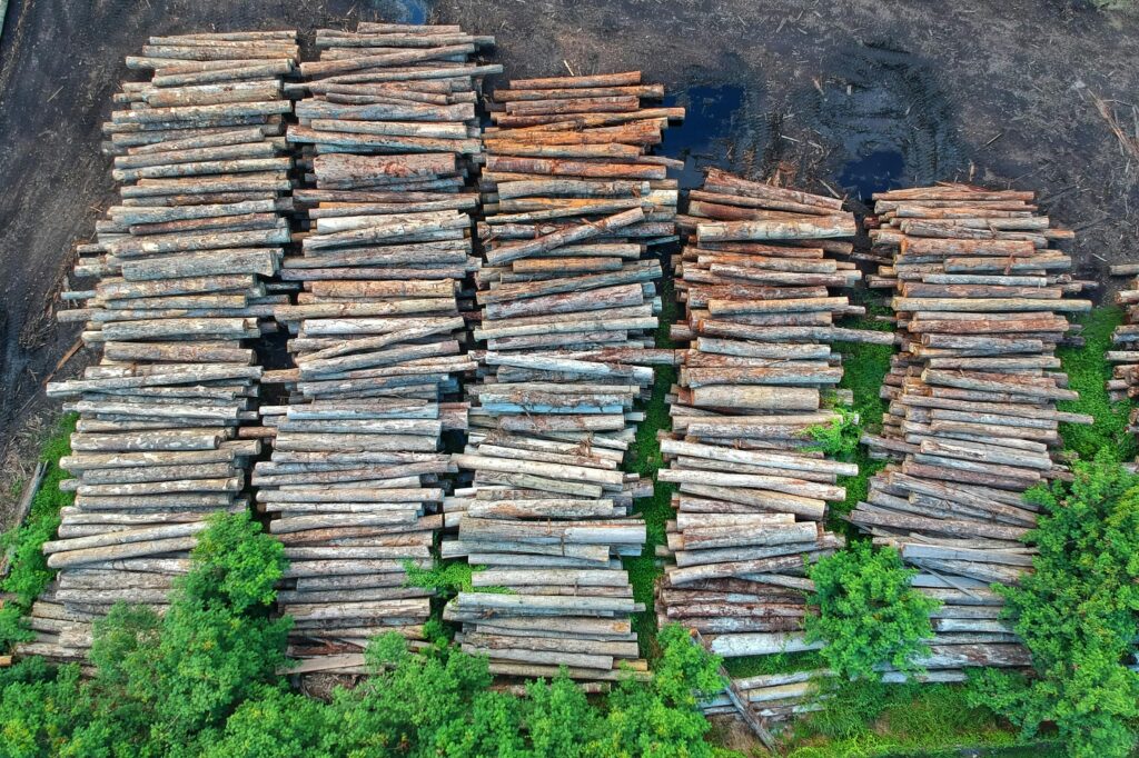
Best Software for Free Counting from Drone

Drone technology has transformed how industries conduct object counting and analysis, providing a cost-effective and precise way to monitor and manage resources. From forestry and agriculture to urban planning, the integration of drones and advanced software enables automated counting and tracking of objects with unparalleled accuracy. This article presents the best free software solutions for […]
Best Software for Free Counting from Satellite

Satellite imagery has transformed how industries analyze and monitor environments. From tracking urban development to monitoring forests and crops, specialized software enables efficient object counting and analysis using advanced geospatial technology. In this article, we explore the best free software solutions for satellite-based counting, focusing on their key highlights, services, and industry applications. 1. FlyPix […]
Best Geospatial Companies in Ohio

Ohio hosts several companies specializing in geospatial services, ranging from GIS mapping to remote sensing and data management. These firms play a vital role in supporting industries such as transportation, infrastructure development, and environmental management. Below, we highlight some of the top geospatial companies in Ohio and their key contributions. 1. FlyPix AI We at […]
Best Geospatial Companies in Oklahoma

Geospatial companies in Oklahoma provide critical services that support a wide range of industries, including infrastructure development, agriculture, energy, and environmental management. These firms specialize in GIS mapping, remote sensing, aerial imagery, and spatial data analysis to deliver precise and actionable insights. From public sector initiatives to private industry projects, geospatial services are instrumental in […]
Best Geospatial Companies in Oregon

Geospatial companies in Oregon play a vital role in industries like infrastructure, environmental management, and urban planning. By utilizing advanced mapping, GIS, and spatial data technologies, these companies provide solutions that support decision-making, resource management, and operational efficiency. This article highlights some of the leading geospatial firms in Oregon and their unique contributions. 1. FlyPix […]