Transforming the World with Reality Capture Software

Imagine being able to capture the essence of a space—its dimensions, textures, and details—with just a few clicks. That’s the magic of reality capture software. This cutting-edge technology uses advanced tools like lasers, drones, and cameras to create highly accurate digital replicas of physical environments. Whether you’re an architect planning your next masterpiece or a […]
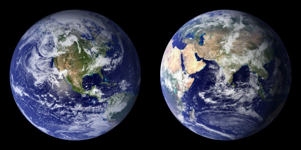
Discover the Best Earth Observation Software
Earth observation software is like having a bird’s-eye view of our planet, right at your fingertips. Whether you’re tracking climate changes, mapping urban growth, or monitoring natural resources, these tools make it easier to analyze satellite images and geospatial data. They’re used by scientists, researchers, and even businesses to better understand and manage our world. […]
Harnessing the Power of Real-Time Earth Observation Software

In today’s fast-paced world, staying on top of environmental changes and natural events is crucial. That’s where real-time Earth observation software comes in. By using advanced technology, this software allows us to monitor and understand changes to our planet as they happen—helping us make smarter decisions, faster. Whether it’s tracking weather patterns, observing wildfires, or […]
Exploring Earth Observation Analytics Software
In today’s fast-paced world, understanding our planet is more important than ever. Earth observation analytics software lets us tap into the vast amount of data collected from satellites, drones, and sensors to make smarter decisions. Whether it’s tracking environmental changes, improving agriculture, or planning urban development, this software is transforming how we view and interact […]
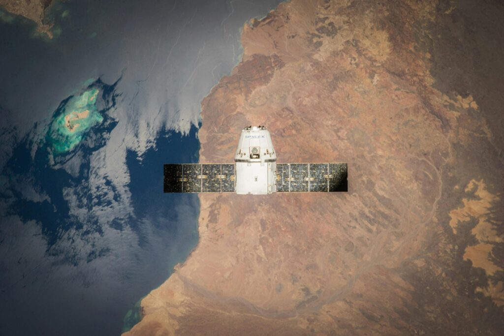
Top Earth Observation Satellite Companies Changing the Game

Earth observation satellites are transforming the way we understand our planet. From monitoring climate change to improving agriculture, these satellites provide invaluable data that drives innovation across industries. Let’s take a closer look at the companies leading the charge in this exciting field. 1. FlyPix AI FlyPix AI is a geospatial analysis platform designed to […]
Leading Earth Observation Companies Driving Innovation

Earth observation companies are revolutionizing how we understand and interact with our planet. From monitoring climate changes to improving agricultural practices, these companies use satellite imagery and advanced data analytics to tackle global challenges. Let’s explore some of the top players in this industry and how they’re making a difference in our everyday lives. 1. […]
Reality Capture Definition – Turning the Physical World into 3D Models

Reality Capture refers to the process of creating digital 3D models of real-world objects, spaces, and environments using technologies like photogrammetry and LiDAR. This method is widely used in construction, archaeology, gaming, and urban planning to improve accuracy, efficiency, and visualization. Whether for preserving historical sites or monitoring construction projects, Reality Capture is transforming how […]
Understanding Reality Capture Control Points
Reality capture is a crucial process for creating accurate and detailed 3D models of real-world objects and environments. By using technologies like photogrammetry and laser scanning, it’s possible to digitize the world in ways that were once unimaginable. Central to this process is the concept of control points, which play an integral role in ensuring […]
360 Reality Capture: Transforming Construction Workflows

The construction industry is experiencing a digital transformation, and 360 reality capture is leading the charge. This innovative technology has shifted the way construction sites are documented, monitored, and managed, offering unparalleled accuracy and convenience. From simplifying progress tracking to enhancing collaboration, 360 reality capture is helping construction professionals unlock new efficiencies and deliver better […]
RealityCapture Requirements: What You Need for Optimal Performance

If you’re diving into the world of photogrammetry with RealityCapture, you need the right setup to make the most of its powerful features. Whether you’re a professional creating 3D models from photos and laser scans or a hobbyist exploring its capabilities, having the proper hardware and software can mean the difference between smooth performance and […]