Top Alternatives to FlytNow for Drone Management
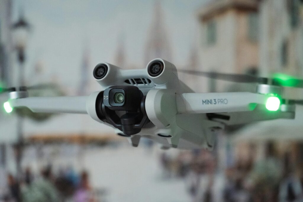
FlytNow is a powerful tool for automating and managing drone operations, but it’s not the only option available. If you’re looking for software that suits specific needs — like enhanced real-time data streaming, better integration capabilities, or a more budget-friendly approach — there are several alternatives to consider. Whether you’re in public safety, agriculture, or […]
Reality Capture in Construction: Benefits, Challenges, and Best Practices

In construction, success often hinges on the smallest details. Missed measurements, outdated drawings, or poor communication can lead to costly mistakes. Enter reality capture—a game-changing technology that brings precision, efficiency, and collaboration to every phase of a construction project. By leveraging advanced tools like LiDAR scanners, drones, and 360-degree cameras, reality capture creates accurate digital […]
Best Alternatives to Esri ArcGIS Online

Esri ArcGIS Online is a powerful tool for mapping and spatial analysis, but it’s not the only option out there. Whether you’re looking for open-source platforms, cost-effective solutions, or specialized tools for your industry, there are plenty of alternatives to explore. These options cater to a variety of needs, from basic mapping to advanced geospatial […]
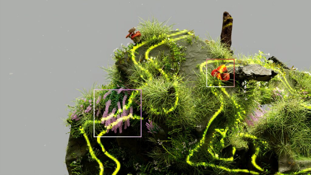
Understanding 3D Reality Capture: Revolutionizing the Digital World
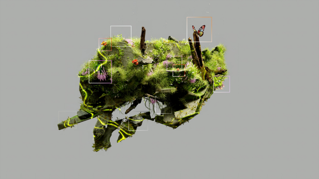
In today’s tech-driven world, advancements in 3D reality capture are reshaping how industries operate. From design and visualization to asset management and construction planning, this technology brings real-world environments into the digital space with unprecedented accuracy. Let’s dive deep into what 3D reality capture is, how it works, and its transformative potential. What Is 3D […]
Best Alternatives to Trimble GPS Pathfinder

If you’re looking for alternatives to Trimble GPS Pathfinder, you’ve come to the right place. Whether you’re in utilities, agriculture, forestry, or infrastructure management, there are plenty of reliable tools out there to meet your GPS and GIS needs. From advanced data accuracy to seamless integration with mapping software, these alternatives offer a range of […]
Best Alternatives to Pix4DCloud for Drone Data Processing

If you’re exploring options beyond Pix4DCloud for handling your drone data, you’re in the right place. Whether you’re looking for better pricing, specific features, or just want to see what else is out there, we’ve rounded up some great alternatives. From mapping and photogrammetry to real-time collaboration tools, these platforms offer diverse solutions to meet […]
What Is Reality Capture?

Reality capture is changing the way we approach design, construction, and asset management. By combining advanced technologies like LiDAR, drones, and 360 cameras, reality capture creates detailed digital representations of physical environments. This technology isn’t just about high-tech gadgets; it’s about efficiency, accuracy, and unlocking new possibilities for industries worldwide. In this article, we’ll explore […]
Best Reality Capture Experts: Top Companies to Know
Reality capture technology is revolutionizing industries like construction, real estate, and manufacturing. With advanced 3D scanning and digital twin solutions, experts in this field help businesses capture and analyze real-world environments with precision. In this guide, we’ll introduce you to the top reality capture companies leading the way. 1. FlyPix AI At FlyPix AI, we […]
Leica Infinity Alternatives: Comprehensive Solutions for Surveying and Geospatial Analysis

Leica Infinity is a highly advanced geospatial software widely used for managing, processing, and analyzing surveying data with precision. It offers tools for geospatial data visualization, 3D modeling, terrain analysis, and data integration from various sources, making it a go-to solution for surveyors and geospatial professionals. However, the industry offers several robust alternatives that provide […]
Skydio Enterprise Alternatives: Reliable Solutions for Autonomous Drone Operations
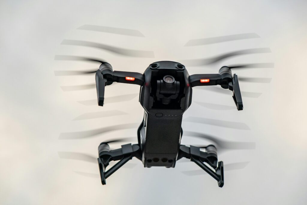
Skydio Enterprise is a leading provider of autonomous drone technology for industrial inspections, mapping, and security. Known for its advanced AI-driven navigation and obstacle avoidance capabilities, Skydio has become a go-to choice for businesses seeking precision and automation. However, there are several alternatives that offer comparable autonomous drone solutions tailored to diverse industries, including infrastructure, […]