Pix4DSurvey Alternatives: A Complete Guide to Choosing the Best Solution
Pix4DSurvey is a renowned software solution in the surveying and mapping industry, widely used for converting point cloud data into actionable insights. Known for its precision and compatibility with various data sources, Pix4DSurvey has become a go-to tool for professionals in construction, urban planning, and environmental monitoring. However, its specialized features, pricing structure, or integration […]
Aeryon SkyRanger Alternatives: A Complete Guide to Choosing the Best Solution
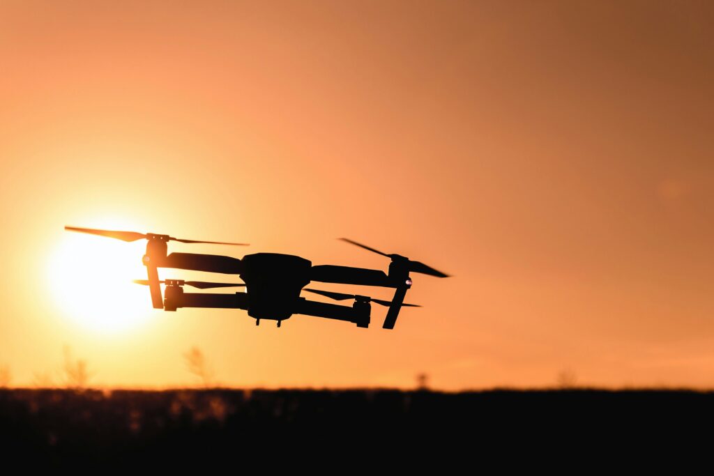
The Aeryon SkyRanger has long been a trusted name in unmanned aerial systems (UAS), known for its exceptional reliability and performance in aerial surveillance and data collection. However, evolving technological demands and diverse industry needs have led many businesses to explore alternatives that offer competitive features, specialized applications, or cost-efficiency. In this guide, we review […]
Inspectivity Alternatives: A Complete Guide to Choosing the Best Solution

Inspectivity has established itself as a trusted platform for managing inspection workflows and asset integrity across various industries. With features like digital inspection, data visualization, and reporting, it streamlines operations in sectors such as construction, energy, and mining. However, businesses often seek alternatives that cater to unique needs, budgets, or additional functionalities. This guide explores […]
Reality Capture for BIM: Transforming the Construction Industry
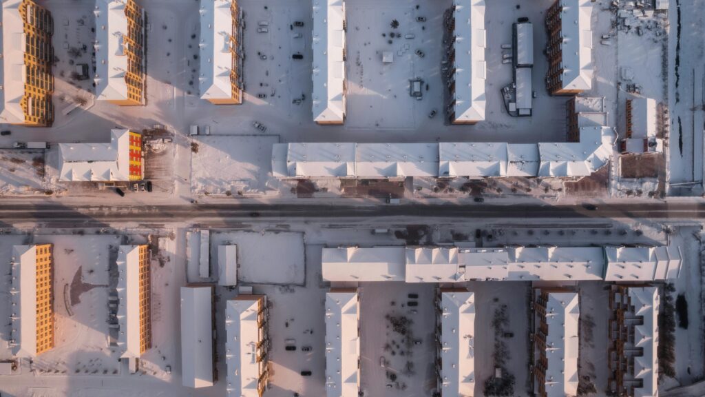
In the rapidly evolving world of construction and facility management, reality capture technology is revolutionizing how projects are planned, executed, and maintained. By integrating advanced tools such as 3D laser scanners, drones, and 360° cameras, professionals can create precise digital representations of physical spaces. These digital models, when combined with Building Information Modeling (BIM), enhance […]
The Rise of Reality Capture Companies
Reality capture is reshaping the way we view and interact with the world around us. From 3D scanning to photogrammetry, these advanced technologies are making it possible to capture the physical world with stunning accuracy. Reality capture companies are at the forefront of this revolution, providing tools and services that benefit industries like construction, real […]
Motion Capture in Virtual Reality: A Game-Changing Technology

Virtual reality (VR) has evolved significantly in recent years, offering users immersive experiences that were once the stuff of science fiction. From gaming and entertainment to training and content creation, VR is pushing boundaries. Yet, one technology is taking it to the next level—motion capture (mocap). By bringing natural human movement into the virtual realm, […]
Understanding Reality Capture Solutions

Reality capture solutions are changing how industries visualize and interact with the physical world. Using tools like 3D scanning, drones, and AI-powered software, these technologies provide accurate digital representations of real-world environments. From construction and manufacturing to energy and logistics, reality capture makes planning, monitoring, and collaboration easier and more efficient. Whether you’re mapping a […]
Transforming the World with Reality Capture Software

Imagine being able to capture the essence of a space—its dimensions, textures, and details—with just a few clicks. That’s the magic of reality capture software. This cutting-edge technology uses advanced tools like lasers, drones, and cameras to create highly accurate digital replicas of physical environments. Whether you’re an architect planning your next masterpiece or a […]
Discover the Best Earth Observation Software
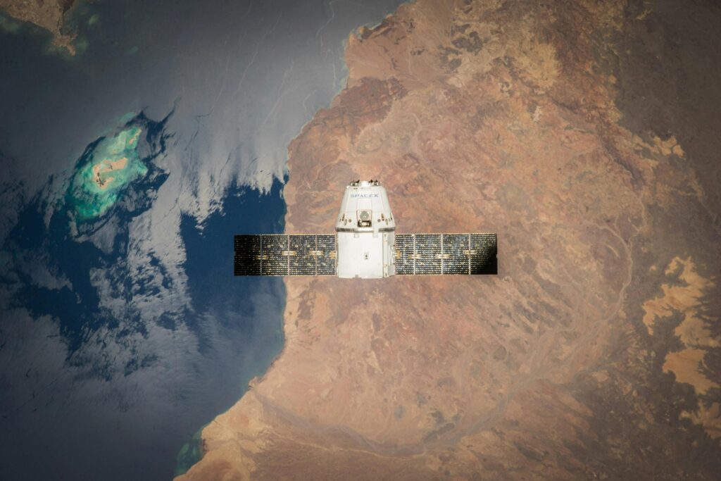
Earth observation software is like having a bird’s-eye view of our planet, right at your fingertips. Whether you’re tracking climate changes, mapping urban growth, or monitoring natural resources, these tools make it easier to analyze satellite images and geospatial data. They’re used by scientists, researchers, and even businesses to better understand and manage our world. […]
Harnessing the Power of Real-Time Earth Observation Software

In today’s fast-paced world, staying on top of environmental changes and natural events is crucial. That’s where real-time Earth observation software comes in. By using advanced technology, this software allows us to monitor and understand changes to our planet as they happen—helping us make smarter decisions, faster. Whether it’s tracking weather patterns, observing wildfires, or […]