Hexagon Geospatial Alternatives: Reliable GIS and Mapping Solutions
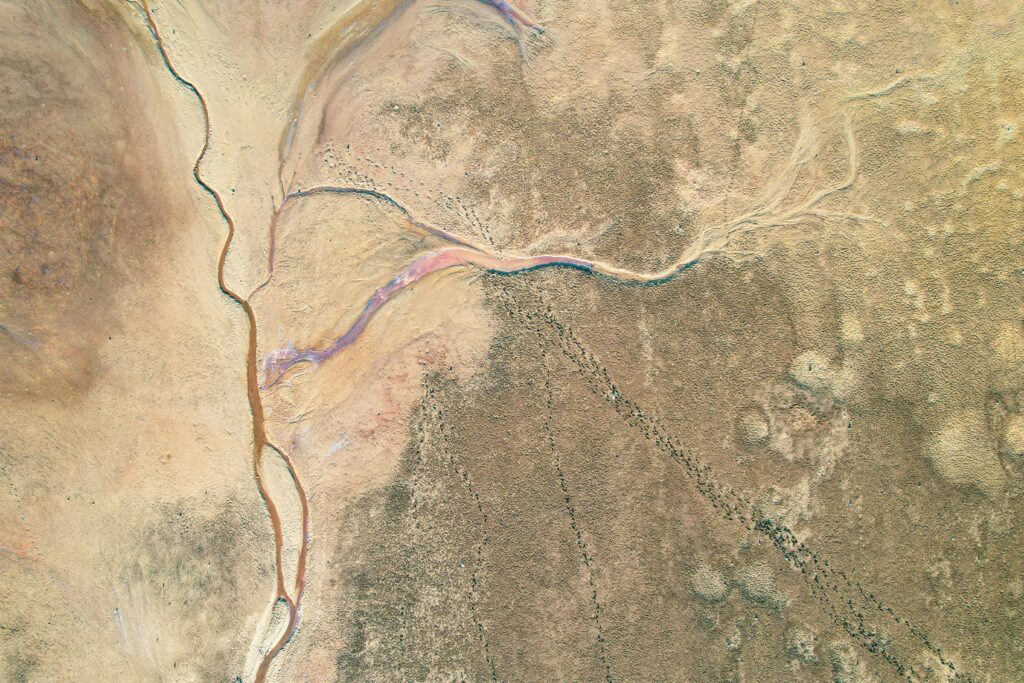
Hexagon Geospatial is a widely recognized provider of tools for mapping, geospatial analysis, and 3D modeling. However, several alternative platforms offer comparable features and functionalities tailored to industries like urban planning, infrastructure, and environmental monitoring. This article reviews these solutions to help you find the best fit for your geospatial needs. 1. FlyPix AI At […]
Carlson Software Alternatives: Comprehensive Guide to Top CAD and Engineering Tools

Carlson Software is renowned for its robust CAD tools and civil engineering solutions, supporting professionals in surveying, hydrology, and road design. Its integrated suite of software allows engineers, architects, and designers to streamline workflows and create detailed models efficiently. However, there are many competitive alternatives available, offering similar or even enhanced capabilities for drafting, modeling, […]
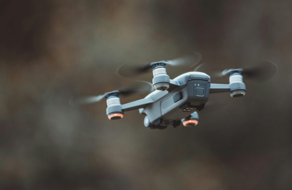
SkyGrid Alternatives: Comprehensive Guide to Leading Drone-Based Solutions

SkyGrid is recognized for its innovative approach to managing drone operations and aerial data. Skygrid offers a solution that allows businesses to monitor asset performance and condition in real-time. This system integrates sensors connected to devices, which transmit data to Skygrid’s IoT platform, designed to function seamlessly across various networks. The platform handles sensor management, […]
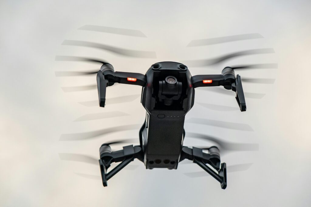
SkyCatch Alternatives: Comprehensive Overview of Top Solutions
SkyCatch is a popular platform for drone mapping, offering robust solutions for 3D modeling and data management. Despite its reputation, many businesses may require alternatives that better align with their specific needs or offer additional functionality. Below, we explore reliable alternatives to SkyCatch, focusing on their features, services, and industry applications. 1. FlyPix At FlyPix, […]
AirData UAV Alternatives: Comprehensive Guide to Top Solutions

AirData UAV is a widely recognized platform offering tools for drone fleet management, compliance, and data analytics. However, the market provides many alternatives that cater to similar needs with unique features and functionalities. This article reviews reliable alternatives to AirData UAV, highlighting their services, key features, and industry applications. 1. FlyPix AI At FlyPix AI, […]
FlytBase Alternatives: Top Solutions for Drone Fleet Management and Autonomy
FlytBase is a renowned provider of drone fleet management and autonomy platforms. However, the drone industry features several alternatives with innovative and unique solutions tailored to various industries, such as logistics, security, agriculture, and infrastructure. Below are top FlytBase alternatives, including their key highlights, services, and contact information, to help you identify the best option […]
Global Satellite Tracking: Revolutionizing Fleet Management, Aviation, and Beyond
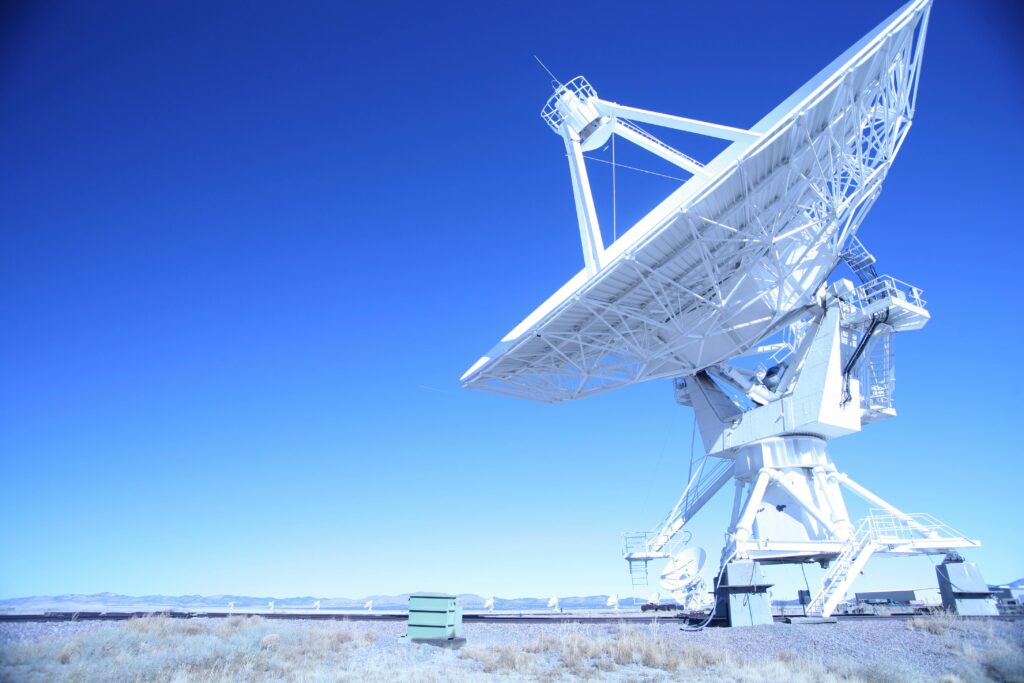
Satellite tracking has become an indispensable tool in modern business operations, with applications ranging from fleet management to aviation safety. This technology leverages satellite networks, like the Global Navigation Satellite System (GNSS), to provide precise location and real-time data for a variety of industries. In this article, we will explore the mechanics of satellite tracking, […]
Real-Time Satellite Data: Current Capabilities, Limitations, and Revolutionizing Earth Monitoring
In recent years, the demand for real-time satellite data has surged across various industries, including agriculture, urban planning, disaster management, and environmental monitoring. While the concept of “real-time” satellite data is exciting and carries immense potential, the reality is far more complex due to technological, operational, and physical limitations. This article delves into the nuances […]
Time to Clean Up Low Earth Orbit: Addressing the Growing Space Debris Threat
Low Earth Orbit (LEO) has long been a vital area for human activity in space, hosting satellites for communications, Earth observation, navigation, and scientific research. However, it has also become a dumping ground for space debris—remnants of defunct satellites, discarded rocket stages, and accidental collisions. As the number of satellites in orbit continues to rise, […]
Space Debris Monitoring: Advancements and Future Directions

As space exploration and satellite deployment continue to grow, the issue of space debris has become increasingly urgent. Orbiting fragments of old satellites, spent rocket stages, and debris from past collisions pose a significant risk to operational spacecraft. Effective monitoring of these objects is crucial to ensuring the safety of space operations and preventing catastrophic […]