Best Drone Data Processing Software and AI Tools
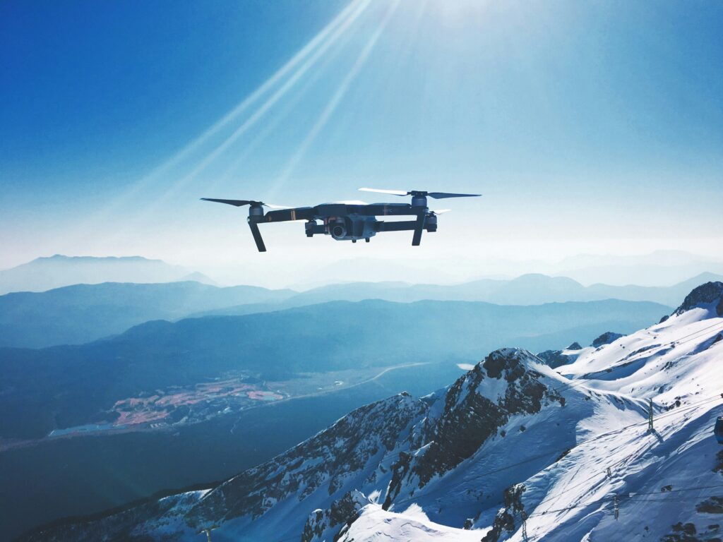
Drone technology has taken off in recent years, but capturing aerial footage is just the beginning. To really make the most of drone data, you need the right software to process, analyze, and turn that raw data into actionable insights. Whether you’re mapping land, inspecting infrastructure, or conducting surveys, the tools you choose can make […]
Essential Remote Sensing Tools: Software and AI in Action
Remote sensing has become a crucial part of understanding our world, from monitoring environmental changes to aiding in disaster management. The technology behind it is driven by specialized software and increasingly advanced AI tools that make data analysis more accurate and accessible. In this article, we’ll break down the key remote sensing tools and how […]
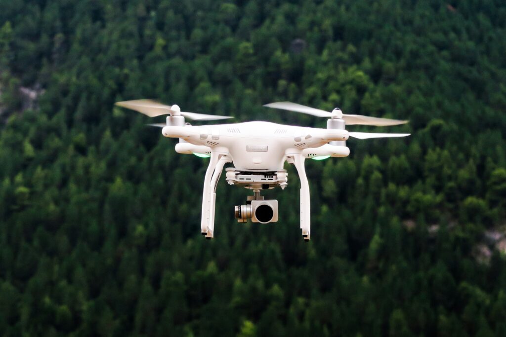
Top Drone Inspection Companies in the USA
Drone technology is revolutionizing the inspection industry, providing efficient, safe, and cost-effective solutions for monitoring and maintaining infrastructure. In the USA, several companies are leading the way in drone inspections, offering specialized services across various sectors, including energy, construction, agriculture, and public safety. These firms use advanced UAVs equipped with high-resolution cameras, sensors, and AI-powered […]
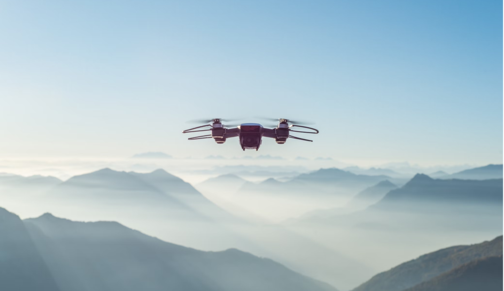
Drone Mapping Software: The Role of Tools and AI in Modern Mapping
Drone mapping has come a long way in recent years. With the rise of sophisticated software, specialized tools, and AI integration, creating detailed maps from aerial data has never been easier. Whether you’re involved in construction, agriculture, or environmental monitoring, understanding how these technologies work together can give you a significant edge in your field. […]